Montgomery in Montgomery County, Alabama — The American South (East South Central)
Historic Sites Near Fairview Environmental Park
Inscription.
Role of MIA
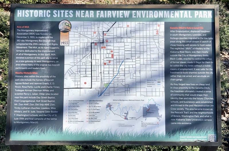
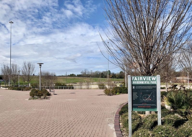
The Montgomery Improvement Association (MIA) was founded on December 5, 1955, to implement the 382-day Montgomery Bus Boycott that jumpstarted the 20th-century Civil Rights Movement. The MIA, as its name suggests, remains dedicated to the improvement of all of Montgomery. In this spirit, MIA donated a portion of the park site to serve as a new gateway to west Montgomery, an area where many of the original bus boycott participants and leaders lived.
Nearby Historic Sites
Historic sites within the proximity of the park site include the homes of boycott figures Robert and Jeannie Graetz, E. D. Nixon, Rosa Parks, Lucille and Charlie Times; Tuskegee Airman Sherman White; and scientist Percy L. Julian. Other sites located near the park include Day Street Baptist, First Congregational, Holt Street Baptist, Mt. Zion AME Zion, Old Ship AME Zion, Trinity Lutheran churches; Loveless, Miss White's, and St. Jude, Swayne (later Booker T. Washington) schools, and the City of St. Jude (fifth and final campsite of the Selma to Montgomery March).
Genetta Ditch's Role in Land Use
After Emancipation, displaced freedmen in south Montgomery, Lowndes, and Autauga counties migrated to the low-lying areas along this small stream in search of cheap housing with access to fresh water. The neglected "ditch," a tributary to the Alabama River Basin, was then mostly outside the City of Montgomery limits. Black Codes, enacted to control the influx of former slaves, made it illegal for them to be within the city limits without a visible means of employment. It was safer for the freedmen to build shanties outside the city rather than risk arrest and servitude on chain gangs.
As they forged new lives on cheap land in close proximity to the Genetta Ditch, the freedmen ultimately created a sense of community that would shape their identity then and into the future. Churches, schools, and businesses were established and thrived in the post-Reconstruction Jim Crow society. The area became known as the Peacock Tract, and the neighborhoods of Belaire, Washington Park, and what is now Alabama State University's campus came into existence.
Erected by the Montgomery Improvement Association.
Topics and series. This historical marker is listed in these topic lists: African Americans • Civil Rights • Parks & Recreational Areas • Waterways & Vessels. In addition, it is included in the African Methodist Episcopal Zion (AME Zion) Church, and the Historically Black Colleges and Universities series lists. A significant historical date for this entry is December 5, 1955.
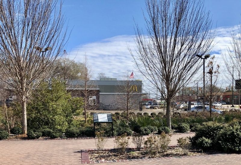
Location. 32° 21.116′ N, 86° 19.151′ W. Marker is in Montgomery, Alabama, in Montgomery County. Marker can be reached from West Fairview Avenue east of Interstate 65. Next to McDonalds restaurant. Touch for map. Marker is at or near this postal address: 750 West Fairview Avenue, Montgomery AL 36105, United States of America. Touch for directions.
Other nearby markers. At least 8 other markers are within walking distance of this marker. Marching to Montgomery (approx. 0.3 miles away); Campsite 4 (approx. 0.4 miles away); Heroes' Welcome (approx. 0.4 miles away); A Refuge (approx. 0.4 miles away); City of St. Jude/The Selma to Montgomery March (approx. half a mile away); Bertha Pleasant Williams Library (approx. half a mile away); Charlie and Lucille Times (approx. half a mile away); Home of Dr. E. D. Nixon, Sr. (approx. 0.6 miles away). Touch for a list and map of all markers in Montgomery.
Credits. This page was last revised on February 2, 2019. It was originally submitted on February 2, 2019, by Mark Hilton of Montgomery, Alabama. This page has been viewed 508 times since then and 35 times this year. Photos: 1, 2, 3. submitted on February 2, 2019, by Mark Hilton of Montgomery, Alabama.


