Southernside in Greenville in Greenville County, South Carolina — The American South (South Atlantic)
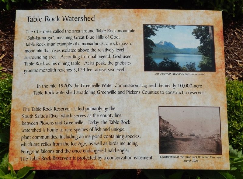
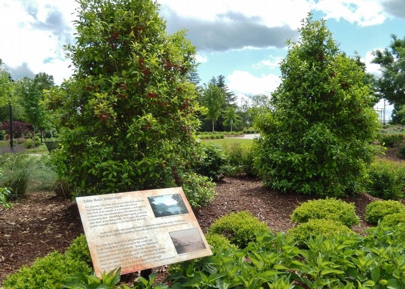
Table Rock Watershed
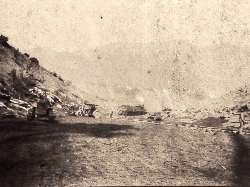
In the mid 1920's the Greenville Water Commission acquired the nearly 10,000-acre Table Rock watershed straddling Greenville and Pickens Counties to construct a reservoir.
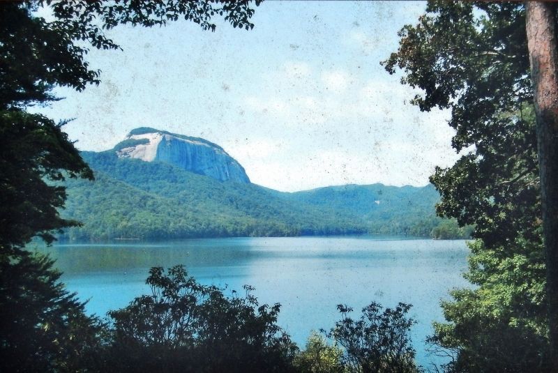
The Table Rock Reservoir is fed primarily by the South Saluda River, which serves as the county line between Pickens and Greenville. Today, the Table Rock watershed is home to rare species of fish and unique plant communities, including an ice pond containing species, which are relics from the Ice Age, as well as birds including Peregrine falcons and the once endangered bald eagle. The Table Rock Reservoir is protected by a conservation easement.
Topics. This historical marker is listed in these topic lists: Environment • Native Americans • Natural Features • Waterways & Vessels.
Location. 34° 51.16′ N, 82° 24.321′ W. Marker is in Greenville, South Carolina , in Greenville County. It is in Southernside. Marker is at the intersection of West Broad Street and West Washington Street, on the right when traveling south on West Broad Street. Marker is located in an interpretive plaza at the southwest corner of the intersection. Touch for map. Marker is at or near this postal address: 407 West Broad Street, Greenville SC 29601, United States of America. Touch for directions.
Other nearby markers. At least 8 other markers are within walking distance of this marker. Reverence for Water: Feeding the Body, Feeling the Spirit (here, next to this marker); Cherokee in the Upcountry / Beginnings of Greenville Water (here, next to this marker); Saluda (Poinsett) Watershed (here, next to this marker); Lake Keowee Watershed (a few steps from this marker); Prospect Hill Park (about 400 feet away, measured in a direct line); St Mary's Catholic Church (about 600 feet away); Textile Hall (about 700 feet away); Historic Plants Garden (approx. ¼ mile away). Touch for a list and map of all markers in Greenville.
Related markers. Click here for a list of markers that are related to this marker. Greenville Water History
Credits. This page was last revised on February 16, 2023. It was originally submitted on June 14, 2019, by Cosmos Mariner of Cape Canaveral, Florida. This page has been viewed 513 times since then and 71 times this year. Photos: 1, 2, 3, 4. submitted on June 17, 2019, by Cosmos Mariner of Cape Canaveral, Florida.


