Marker Logo HMdb.org THE HISTORICAL
MARKER DATABASE
“Bite-Size Bits of Local, National, and Global History”
Franklin in Williamson County, Tennessee — The American South (East South Central)
 

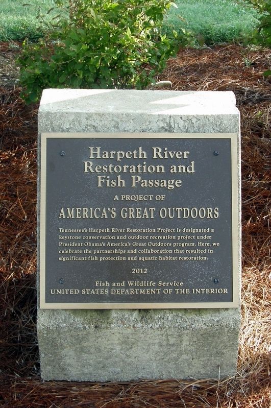
Harpeth River Restoration and Fish Passage

A project of America’s Great Outdoors


Harpeth River Restoration and Fish Passage Marker image. Click for full size.
Photographed By Larry Gertner, June 21, 2019
1. Harpeth River Restoration and Fish Passage Marker
Inscription. Tennessee’s Harpeth River Restoration Project is designated a keystone conservation and outdoor restoration project under President Obama’s America’s Great Outdoors program. Here, we celebrate the partnership and collaboration that resulted in significant fish protection and aquatic habitat restoration.
 
Erected 2012 by Fish and Wildlife Service, U.S. Department of the Interior.
 
Topics. This historical marker is listed in these topic lists: AnimalsEnvironmentParks & Recreational AreasWaterways & Vessels.
 
Location. 35° 54.549′ N, 86° 51.352′ W. Marker is in Franklin, Tennessee, in Williamson County. Marker is at the intersection of Lewisburg Pike and Carriage Park Drive, on the right when traveling west on Lewisburg Pike. Touch for map. Marker is in this post office area: Franklin TN 37064, United States of America. Touch for directions.
 
Other nearby markers. At least 8 other markers are within walking distance of this marker. The Battle of Franklin (here, next to this marker); Battle of Franklin, Eastern Flank (about 500 feet away, measured in a direct line); Advancing With Scott's Brigade (about 600 feet away); a different marker also named Advancing With Scott's Brigade (approx. 0.2 miles away); Eastern Flank Battlefield Park
Paid Advertisement
Click on the ad for more information.
Please report objectionable advertising to the Editor.
Click or scan to see
this page online
(approx. 0.2 miles away); a different marker also named Battle of Franklin, Eastern Flank (approx. ¼ mile away); a different marker also named Advancing With Scott's Brigade (approx. ¼ mile away); a different marker also named Battle of Franklin, Eastern Flank (approx. ¼ mile away). Touch for a list and map of all markers in Franklin.
 
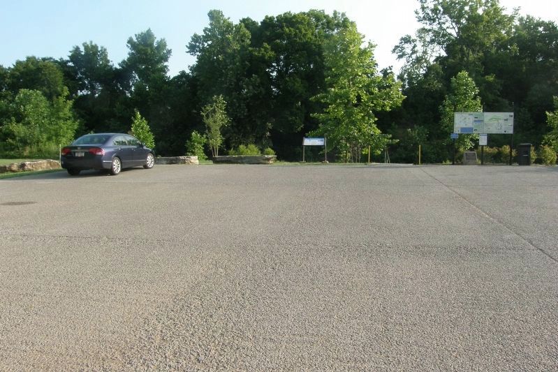
Harpeth River Restoration and Fish Passage Marker site image. Click for full size.
Photographed By Larry Gertner, June 21, 2019
2. Harpeth River Restoration and Fish Passage Marker site
At the Franklin Harpeth River Access
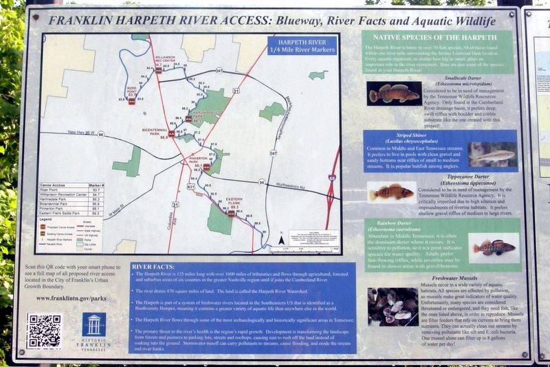
Harpeth River Blueway marker image. Click for full size.
Photographed By Larry Gertner, June 21, 2019
3. Harpeth River Blueway marker
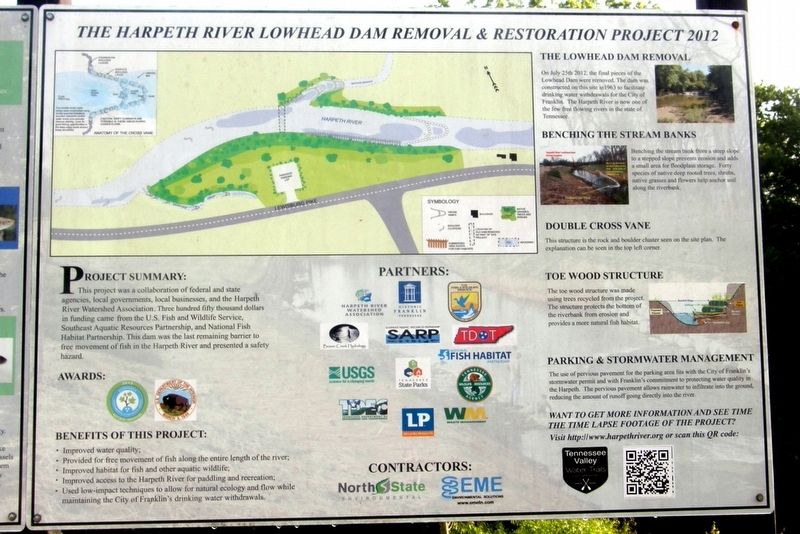
Harpeth River Dam Removal Project marker image. Click for full size.
Photographed By Larry Gertner, June 21, 2019
4. Harpeth River Dam Removal Project marker
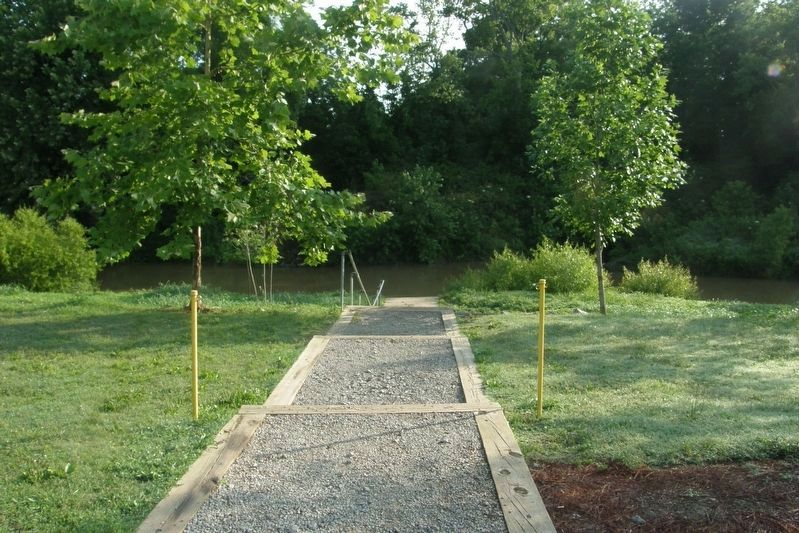
Harpeth River Restoration image. Click for full size.
Photographed By Larry Gertner, June 21, 2019
5. Harpeth River Restoration
The path to the river; reclaimed land to both sides.
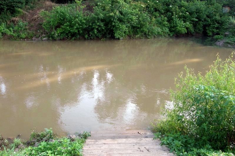
Harpeth River Restoration image. Click for full size.
Photographed By Larry Gertner, June 21, 2019
6. Harpeth River Restoration
The area of the dam removal.
 
 
Credits. This page was last revised on June 14, 2020. It was originally submitted on August 30, 2019, by Larry Gertner of New York, New York. This page has been viewed 994 times since then and 45 times this year. Photos:   1, 2, 3, 4, 5, 6. submitted on August 30, 2019, by Larry Gertner of New York, New York. • Bill Pfingsten was the editor who published this page.
Share this page.  
Share on Tumblr
m=138511

CeraNet Cloud Computing sponsors the Historical Marker Database.
This website earns income from purchases you make after using our links to Amazon.com. We appreciate your support.
Paid Advertisement
Apr. 24, 2024