Anacapa Island in Ventura County, California — The American West (Pacific Coastal)
Anacapa Island
"Mirage"
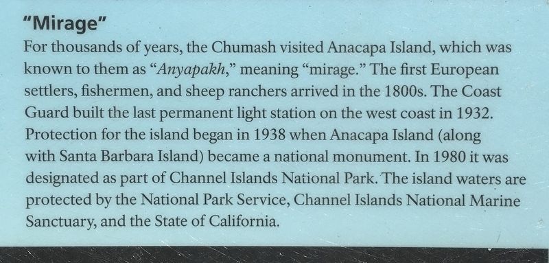
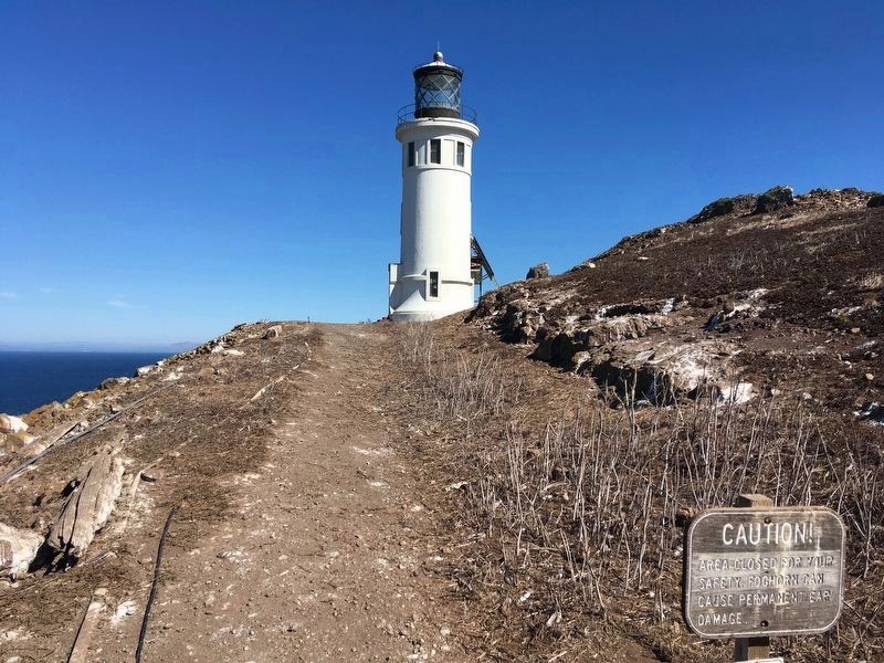
For thousands of years, the Chumash visited Anacapa Island, which was known to them as "Anyapakh,” meaning "mirage.” The first European settlers, fishermen, and sheep ranchers arrived in the 1800s. The Coast Guard built the last permanent light station on the west coast in 1932. Protection for the island began in 1938 when Anacapa Island (along with Santa Barbara Island) became a national monument. In 1980 it was designated as part of Channel Islands National Park. The island waters are protected by the National Park Service, Channel Islands National Marine Sanctuary, and the State of California.
Get Acquainted
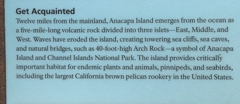
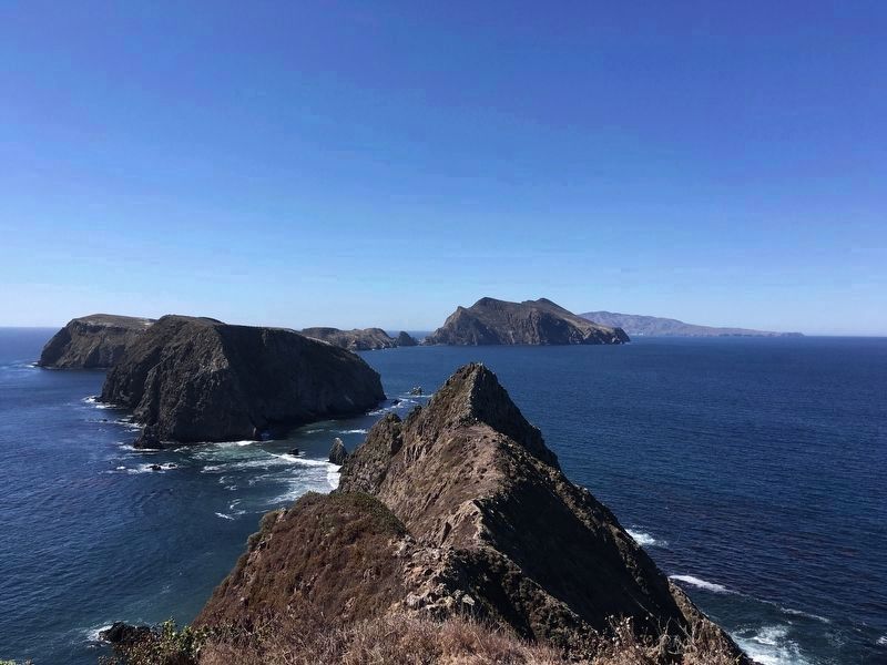
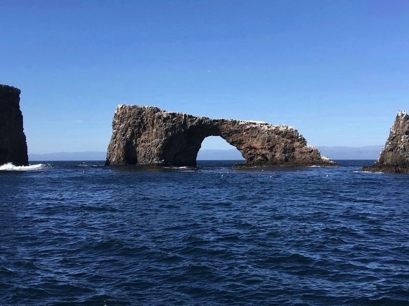
Twelve miles from the mainland, Anacapa Island emerges from the ocean as five-mile-long volcanic rock divided into three islets - East, Middle, and West. Waves have eroded the island, creating towering sea cliffs, sea caves, and natural bridges, such as 40-foot-high Arch Rock - a symbol of Anacapa Island and Channel Islands National Park. The island provides critically important habitat for endemic plants and animals, pinnipeds, and seabirds, including the largest California brown pelican rookery in the United States.
Erected by National Park Service.
Topics. This historical marker is listed in these topic lists: Agriculture • Native Americans • Parks & Recreational Areas • Waterways & Vessels.
Location. 34° 0.928′ N, 119° 21.815′ W. Marker is on Anacapa Island, California, in Ventura County. Marker can be reached from Landing trail. Touch for map. Marker is in this post office area: Ventura CA 93001, United States of America. Touch for directions.
Other nearby markers. At least 8 other markers are within 14 miles of this marker, measured as the crow flies. The Flood of 1997 (approx. 11.4 miles away); Scorpion Was Once A Busy Sheep Ranch (approx. 11.4 miles away); La Jenelle (approx. 12.4 miles away); Point Hueneme Lighthouse (approx. 12˝ miles away); Alaska Flight 261 Memorial (approx. 13.1 miles away); Bank of Hueneme (approx. 13.2 miles away); Women’s Improvement Club (approx. 13.3 miles away); Gerberding / Moranda House (approx. 13.4 miles away).
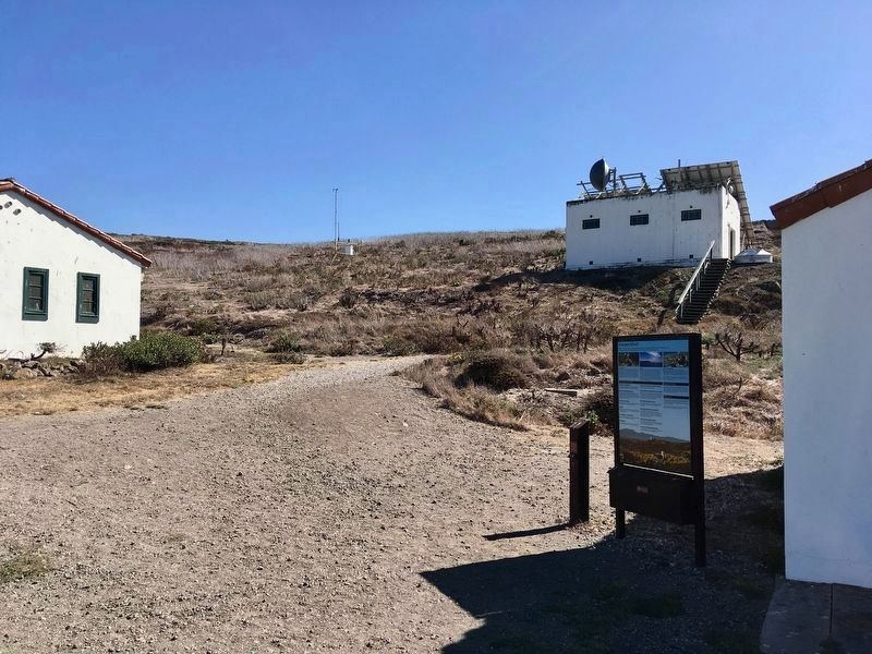
More about this marker. The marker is located near the Anacapa Island visitor center, and an identical marker is located near the boat dock. From the dock there are 157 steps that take you to the island plateau 200 feet above sea level. There is no entrance fee to the park itself, but the boat ride is not free.
Also see . . . Channel Islands National Park. (Submitted on October 19, 2019.)
Credits. This page was last revised on August 20, 2023. It was originally submitted on October 19, 2019, by Craig Baker of Sylmar, California. This page has been viewed 204 times since then and 15 times this year. Photos: 1, 2, 3, 4, 5, 6. submitted on October 19, 2019, by Craig Baker of Sylmar, California. • Syd Whittle was the editor who published this page.
