Manassas, Virginia — The American South (Mid-Atlantic)
The Town Is Born
1873 - 1915
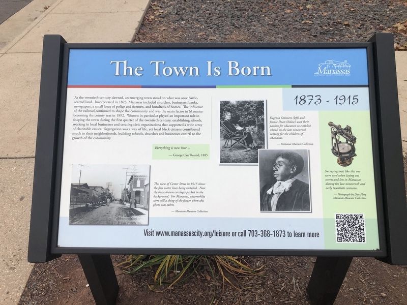
As the twentieth century dawned, an emerging town stood on what was once battle-scarred land. Incorporated in 1873, Manassas included churches, businesses, banks, newspapers, a small force of police and firemen, and hundreds of homes. The influence of the railroad continued to shape the community and was the main factor in Manassas becoming the county seat in 1892. Women in particular played an important role in shaping the town during the first quarter of the twentieth century, establishing schools, working in local businesses and crating civic organizations that supported a wide array of charitable causes. Segregation was a way of life, yet local black citizens contributed much to their neighborhoods, building schools, churches and businesses central to the growth of the community.
Everything is new here…
— George Carr Round, 1885
[Captions:]
Eugenia Osbourn (left) and Jennie Dean (below) used their passion for education to establish schools in the late nineteenth century for the children of Manassas.
— Manassas Museum Collection
This view of Center Street in 1915 shows the first water lines being installed. Note the horse drawn carriages parked in the background. For Manassas, automobiles were still a thing of the future when this photo was taken.
— Manassas Museum Collection
Surveying tools like this one were used when laying out streets and lots in Manassas during the late nineteenth and early twentieth centuries.
— Photograph by Don Flory
Manassas Museum Collection
Erected by City
this page online
Topics and series. This historical marker is listed in these topic lists: African Americans • Charity & Public Work • Education • Industry & Commerce • Law Enforcement • Roads & Vehicles • Settlements & Settlers • Women. In addition, it is included in the Virginia, City of Manassas series list. A significant historical year for this entry is 1873.
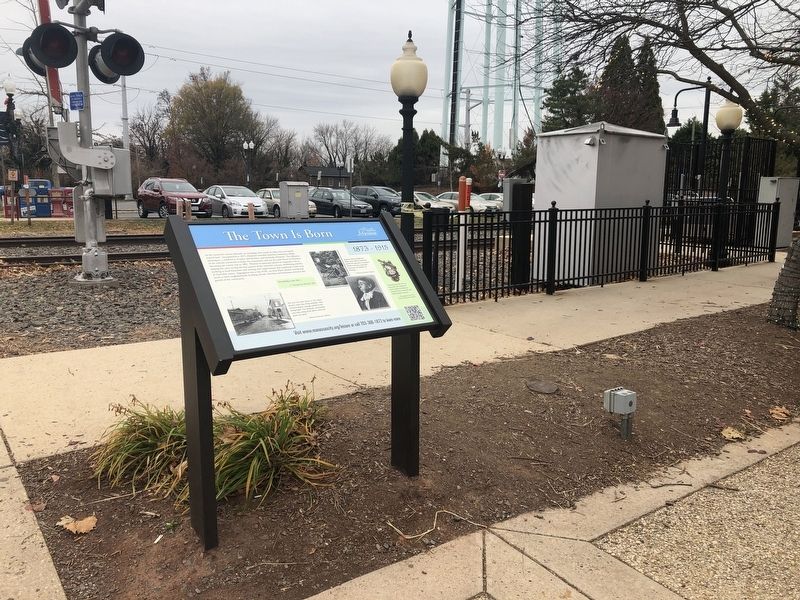
Location. This marker has been replaced by another marker nearby. It was located near 38° 45.02′ N, 77° 28.399′ W. Marker was in Manassas, Virginia. It was on West Street just south of Center Street (Virginia Route 28), on the right when traveling south. Touch for map. Marker was at or near this postal address: 9417 West Street, Manassas VA 20110, United States of America. Touch for directions.

Regionally, this marker was in the Washington Metropolitan Area and in Northern Virginia. It was also in the American South, specifically in the Upper South, and in the Mid-Atlantic. Globally, it was in North America, the Western Hemisphere, the Western World, and the Anglosphere. Historically, it found itself in what was once the
Other nearby markers. At least 8 other markers are within walking distance of this location: A different marker also named The Town Is Born (here, next to this marker); Wartime Manassas (here, next to this marker); Route of the "Old 97" (a few steps from this marker); A Railroad Town (a few steps from this marker); a different marker also named Wartime Manassas (within shouting distance of this marker); Loy E. Harris (within shouting distance of this marker); a different marker also named Wartime Manassas (about 300 feet away, measured in a direct line); a different marker also named Jackson's Raid (about 300 feet away). Touch for a list and map of all markers in Manassas.
Other markers no longer nearby. Jackson's Raid (was within shouting distance of this marker but has been replaced with another marker now near it); a different marker also named Wartime Manassas (was within shouting distance of this marker but has been confirmed missing); Site of Manassas Junction (was within shouting distance of this marker but has been permanently removed).
Related marker. Click here for another marker that is related to this marker. This marker has been replaced with the linked marker. There are slight differences in the inscriptions.
Credits. This page was last revised on July 12, 2026. It was originally submitted on November 30, 2019, by Devry Becker Jones of Washington, District of Columbia. This page has been viewed 385 times since then and 33 times this year. Photos: 1, 2. submitted on November 30, 2019, by Devry Becker Jones of Washington, District of Columbia.
