Canastota in Madison County, New York — The American Northeast (Mid-Atlantic)
Nichols Pond Park
Photographed by Mollie, January 11, 2020
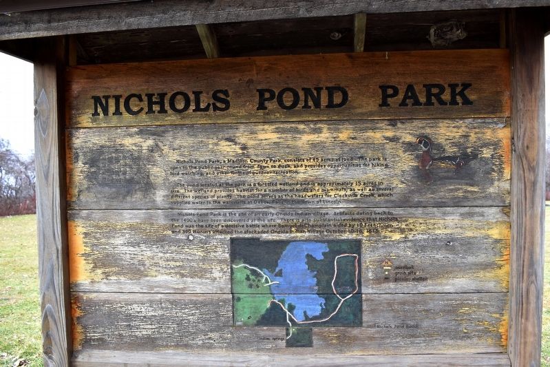
1. Nichols Pond Park Marker
The pond located at the park is a forested wetland and is approximately 15 acres in size. The wetland provides habitat for a number of birds and mammals, as well as several different species of plants. The pond serves as the head waters for Clockville Creek, which supplies water to the waterfalls at Oxbow Falls in the Town of Lincoln.
Nichols Pond Park is the site of an early Oneida Indian village. Artifacts dating back to the 1400's have been discovered at the site. There is also substantial evidence that Nichols Pond was the site of a decisive battle where Samuel de Champlain aided by 10 Frenchmen and 300 Hurons attacked the stockaded Oneida Indian village October 10-16, 1615.
Topics. This historical marker is listed in these topic lists: Anthropology & Archaeology • Indigenous Peoples and Communities • Parks & Recreational Areas • Wars, US Indian.
Location. 43° 0.172′ N,
this page online

Regionally, this marker is in Upstate New York, specifically in Central New York, and in the Syracuse Metropolitan Area. It is also in the American Northeast and in the Mid-Atlantic. Globally, it is in North America, the Western Hemisphere, the Western World, and the Anglosphere. Historically, it finds itself in what was once the Haudenosaunee (Iroquois) Confederacy, New Netherland, and one of the original Thirteen Colonies.
Other nearby markers. At least 8 other markers are within 4 miles of this marker, measured as the crow flies: Site of Champlain Battle (within shouting distance of this marker); Oneida Indian Village Wall (about 500 feet away, measured in a direct line); Grain Pits (approx. 0.2 miles away); Oneida Stone of 1615
Photographed by Mollie, January 11, 2020
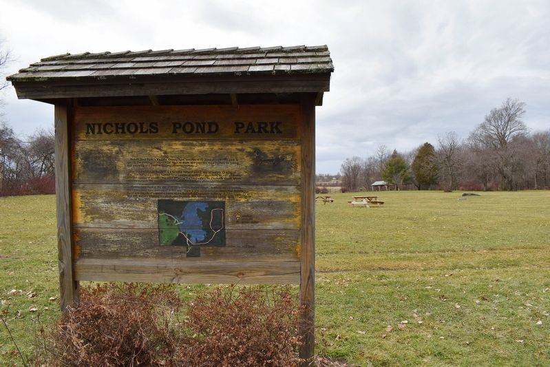
2. Nichols Pond Park Marker
Also see . . . Nichols Pond County Park Website. (Submitted on January 11, 2020, by Mollie of Syracuse, New York.)
Credits. This page was last revised on January 13, 2020. It was originally submitted on January 11, 2020, by Mollie of Syracuse, New York. This page has been viewed 1,015 times since then and 102 times this year. Photos: 1, 2. submitted on January 11, 2020, by Mollie of Syracuse, New York. • Michael Herrick was the editor who published this page.
