Lorton in Fairfax County, Virginia — The American South (Mid-Atlantic)
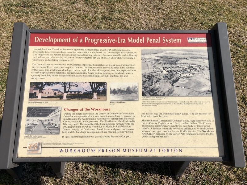
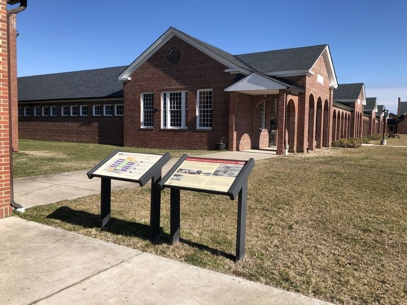
Development of a Progressive-Era Model Penal System
Workhouse Prison Museum at Lorton
Photographed by Devry Becker Jones (CC0), February 2, 2020
1. Development of a Progressive-Era Model Penal System Marker
The Commission recommended, and Congress approved, the purchase of a 1,155-acre tract north of the Occoquan River, which was acquired in 1910. The first prisoners arrived by barge in the summer of that year. The Workhouse developed into an agricultural work camp and over time expanded into extensive agricultural operations, including cultivated fields, pasture land, an orchard and cannery, a poultry farm, hog ranch, slaughterhouse, dairy, blacksmith shop, sawmill and feed, hay and storage barns.
Changes at the Workhouse
During the ninety-some years the District of Columbia's Correctional Complex was operational, the area in use increased to over 3200 acres. In addition to the Workhouse, a
this page online
In 1998, Federal legislation was passed closing the entire Complex and in May, 1999 the Workhouse finally closed. The last prisoner left Lorton in November, 2001.
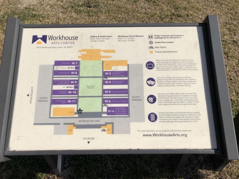
After the Lorton Correctional Complex closed, 2324 acres were sold to Fairfax County, Virginia in 2002 for 4.2 million dollars. The County undertook a comprehensive adapted re-use study for this growing suburb. A decision was made to create a private, not-for-profit, multi-arts center on 55 acres of the former Workhouse site. The Workhouse Arts Center, managed by the Lorton Arts Foundation, opened to the public in September 2008.
[Caption:]
Aerial View, D.C. Workhouse, 1961
Courtesy of the D.C. Department of Corrections
At this time no fences surrounded the minimum security facility. The cattle barn and plowed fields illustrate the agricultural activities of the inmates. Baseball was an important recreational activity.
Erected by Workhouse
Photographed by Devry Becker Jones (CC0), February 2, 2020
2. Development of a Progressive-Era Model Penal System Marker
Topics and series. This historical marker is listed in these topic lists: Agriculture • Animals • Arts, Letters, Music • Education • Industry & Commerce • Law Enforcement • Parks & Recreational Areas • Science & Medicine • Sports. In addition, it is included in the Former U.S. Presidents: #26 Theodore Roosevelt series list. A significant historical month for this entry is February 1968.
Location. 38° 41.895′ N, 77° 15.325′ W. Marker is in Lorton, Virginia, in Fairfax County. It is on Workhouse Way 0.2 miles north of Ox Road (Virginia Route 123). Touch for map. Marker is at or near this postal address: 9510 Workhouse Way, Lorton VA 22079, United States of America. Touch for directions.

Regionally, this marker is in the Washington Metropolitan Area and in Northern Virginia. It is also in the American South, specifically in the Upper South, in the Mid-Atlantic, and on the Eastern Seaboard. Globally, it is in the North Atlantic Region, North America, the Western Hemisphere, the Western World, and the Anglosphere. Historically, it finds itself in what
Other nearby markers. At least 8 other markers are within walking distance of this marker: Prisoners at the Workhouse (within shouting distance of this marker); Irma Clifton (within shouting distance of this marker); Occoquan Workhouse (about 400 feet away, measured in a direct line); a different marker also named Occoquan Workhouse (about 400 feet away); Lorton Nike Missile Site (approx. 0.6 miles away); Economic Development in Occoquan and its Dependence on Enslaved Peoples (approx. 0.9 miles away); Occoquan River Bridges (approx. 0.9 miles away); Historic Occoquan (approx. 0.9 miles away). Touch for a list and map of all markers in Lorton.
Credits. This page was last revised on February 2, 2020. It was originally submitted on February 2, 2020, by Devry Becker Jones of Washington, District of Columbia. This page has been viewed 746 times since then and 49 times this year. Photos: 1, 2, 3. submitted on February 2, 2020, by Devry Becker Jones of Washington, District of Columbia.
