Near Davis in Tucker County, West Virginia — The American South (Appalachia)
Boardwalk to the Falls
Blackwater Falls State Park
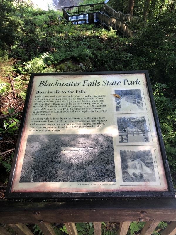
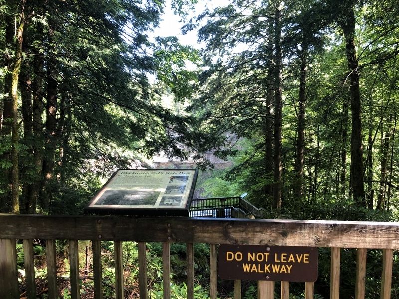
Early visitors to this area scrambled down a boulder-strewn path and climbed over fallen trees to view Blackwater Falls. As one of today's visitors, you are enjoying a boardwalk of more than 200 steps that will take you to the closest viewing point of the waterfall. The first boardwalk was constructed in 1961 and then replaced 25 years later in 1986. Construction of the current walkway began in August 2004 and was completed in December of the same year.
The boardwalk follows the natural contours of the slope down to the waterfall and blends the elements of the wooden walkway with surrounding natural features to make it appear to belong here. Famous architect Frank Lloyd Wright referred to this process as organic design.
Erected by West Virginia State Parks.
Topics. This historical marker is listed in these topic lists: Natural Features • Parks & Recreational Areas • Roads & Vehicles • Waterways & Vessels. A significant historical month for this entry is August 2004.
Location. 39° 6.759′ N, 79° 28.956′ W. Marker is near Davis, West Virginia, in Tucker County. It can be reached from Canyon Point Road (County
this page online

Regionally, this marker is in West Virginia’s Potomac Highlands. It is also in the American South, specifically in the Upper South, in Appalachia, and specifically in Northern Appalachia. Globally, it is in North America, the Western Hemisphere, the Western World, and the Anglosphere. Historically, it finds itself in what was once the territory of the Mississippian Culture.
Other nearby markers. At least 8 other markers are within 2 miles of this marker, measured as the crow flies: Porte Crayon (within shouting distance of this marker); Salt Sands (within shouting distance of this marker); Blackwater Falls State Park (approx. 0.9 miles away); a different marker also named Salt Sands (approx. 0.9 miles away); The Davis Sawmill (approx. 1.3 miles away); Miners and a Minister (approx. 1.4 miles away); The Davis Colored School (approx. 1.4 miles away); National Bank of Davis (approx. 1.4 miles
Also see . . . Blackwater Falls State Park. Page on the West Virginia State Parks site. (Submitted on July 18, 2020, by Devry Becker Jones of Washington, District of Columbia.)
Photographed by Devry Becker Jones (CC0), July 17, 2020
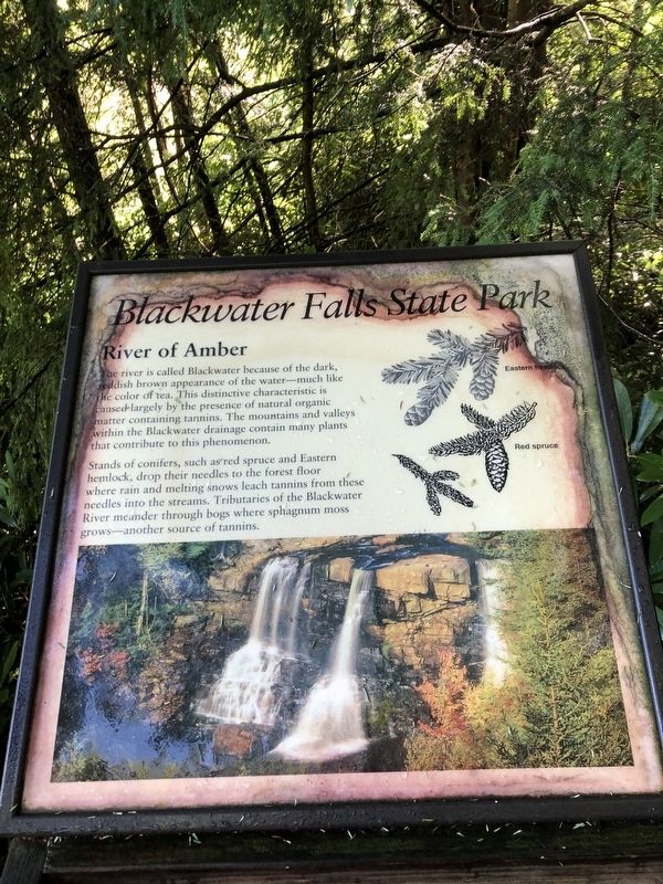
3. River of Amber
This is an additional sign along the walkway.
Photographed by Bradley Owen, March 27, 2021
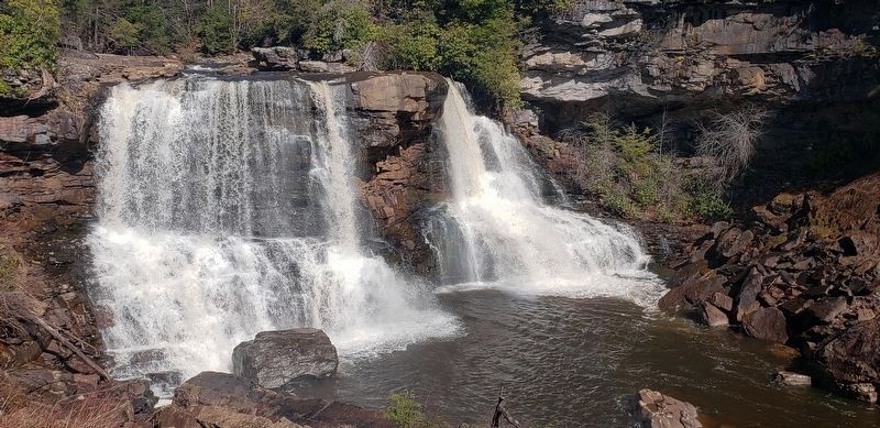
4. Blackwater Falls
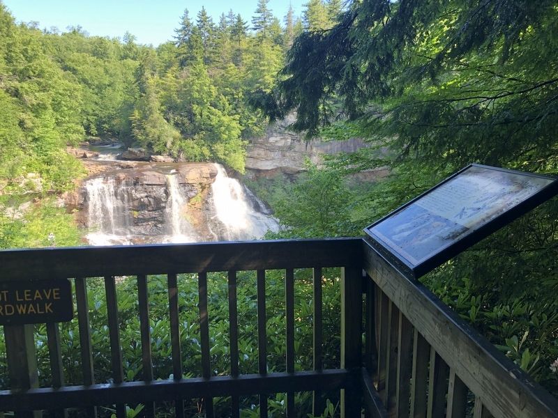
Photographed by Devry Becker Jones (CC0), July 17, 2020
5. Blackwater Falls as seen from the River of Amber sign
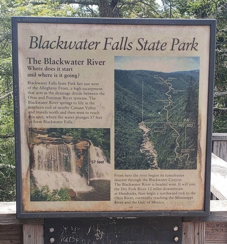
Photographed by Bradley Owen, March 27, 2021
6. The Blackwater River Sign
This plaque is located at the Falls Overlook on the east side of the Blackwater River.
Credits. This page was last revised on March 30, 2021. It was originally submitted on July 18, 2020, by Devry Becker Jones of Washington, District of Columbia. This page has been viewed 446 times since then and 28 times this year. Photos: 1, 2, 3. submitted on July 18, 2020, by Devry Becker Jones of Washington, District of Columbia. 4. submitted on March 27, 2021, by Bradley Owen of Morgantown, West Virginia. 5. submitted on July 18, 2020, by Devry Becker Jones of Washington, District of Columbia. 6. submitted on March 30, 2021, by Bradley Owen of Morgantown, West Virginia.
