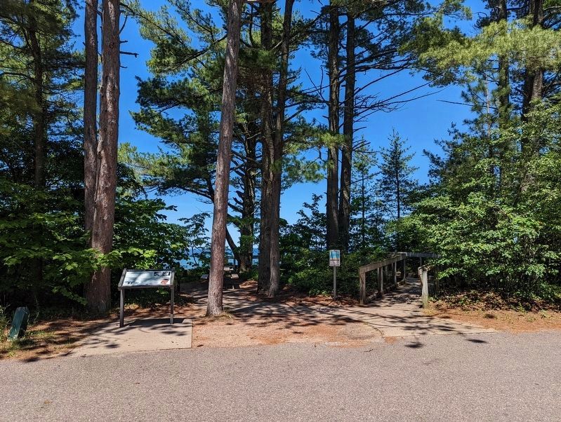
Near Au Train in Alger County, Michigan — The American Midwest (Great Lakes)
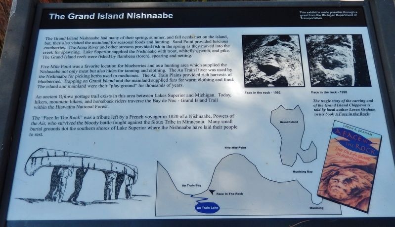
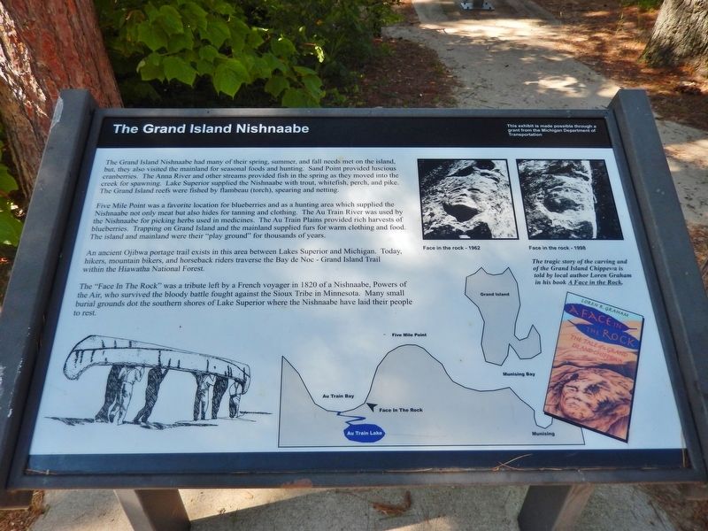
The Grand Island Nishnaabe
Five Mile Point was a favorite location for blueberries and as a hunting area which supplied the Nishnaabe not only meat but also hides for tanning and clothing. The Au Train River was used by the Nishnaabe for picking herbs used in medicines. The Au Train Plains provided rich harvests of blueberries. Trapping on Grand Island and the mainland supplied furs for warm clothing and food. The island and mainland were their "play ground" for thousands of years.
An ancient Ojibwa portage trail exists in this area between Lakes Superior and Michigan. Today, hikers, mountain bikers, and horseback riders traverse the Bay de Noc - Grand Island Trail within the Hiawatha National Forest.
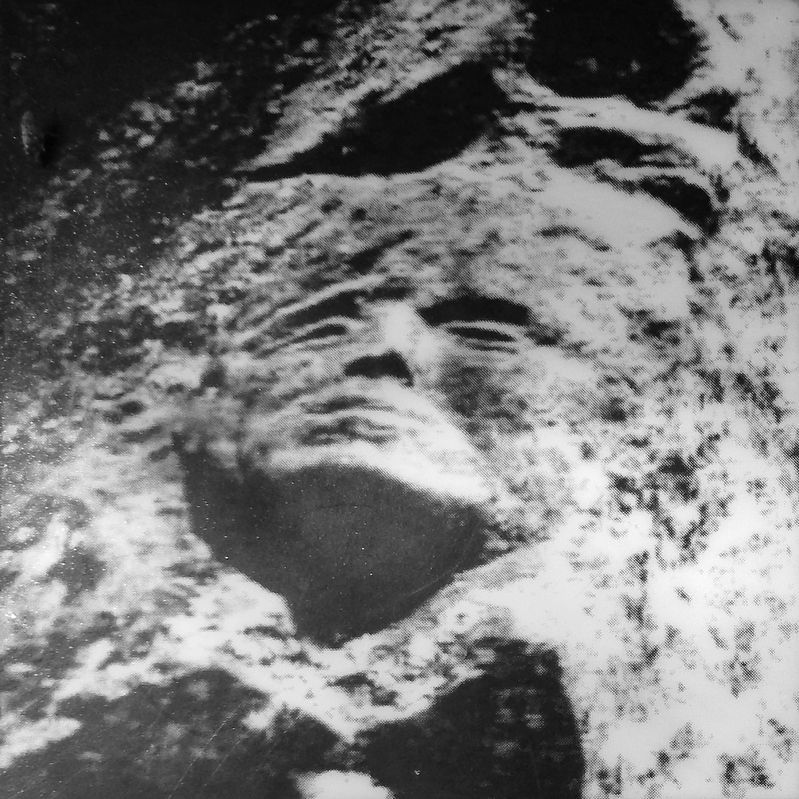
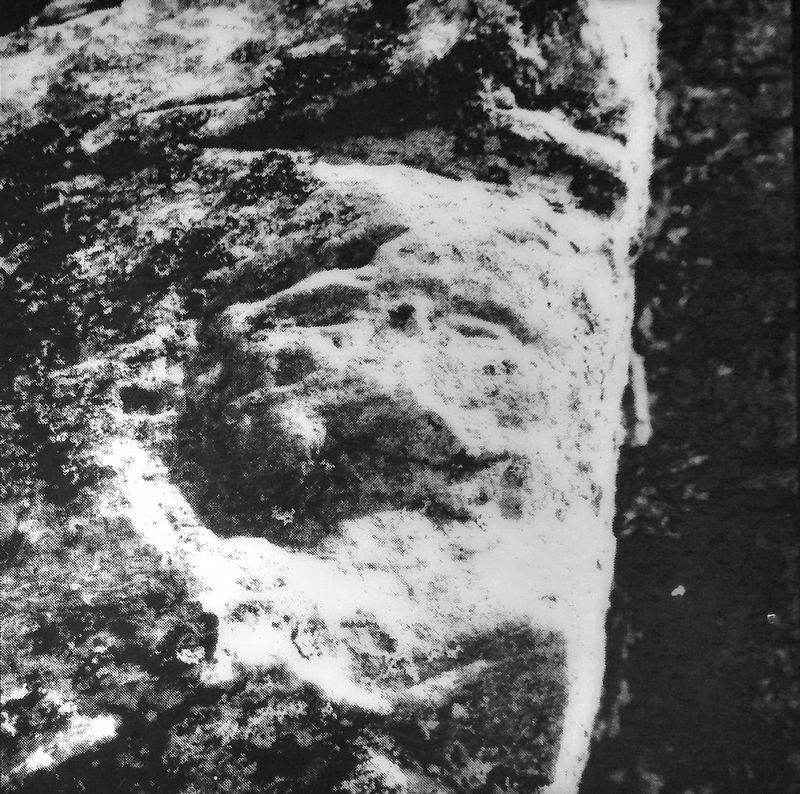
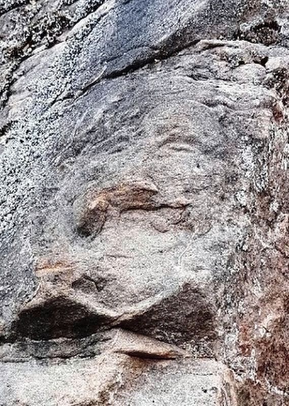
The "Face In The Rock" was a tribute left by a French voyager in 1820 of a Nishnaabe, Powers of the Air, who survived the bloody battle fought against the Sioux Tribe in Minnesota. Many small burial grounds dot the southern shores of Lake Superior where the Nishnaabe have laid their people to rest.
The tragic story of the carving and of the Grand Island Chippewa is told by local author Loren Graham in his book A Face in the Rock.
Erected by Michigan Department of Transportation.
Topics. This historical marker is listed in these topic lists: Cemeteries & Burial Sites • Native Americans • Parks & Recreational Areas • Waterways & Vessels.
Location. 46° 26.236′ N, 86° 49.009′ W. Marker is near Au Train, Michigan, in Alger County. Marker can be reached from State Highway 28, one mile east of Arbutus Street (Autrain Forest Lake Road), on the left when traveling east. Marker is located along the Lake Superior beach trail in Scott Falls Roadside Park. Touch for map. Marker is in this post office area: Au Train MI 49806, United States of America. Touch for directions.
Other nearby markers. At least 8 other markers are within 8 miles of this marker, measured as the crow flies. Face in the Rock (a few steps from this marker); Lake Superior (within shouting distance of this marker); Paulson House (approx. 2.7 miles away); Bay Furnace Ruins (approx. 5.3 miles away); What’s Old? What’s New? (approx. 5.3 miles away); Location is Everything! (approx. 5.3 miles away); Russell A. Alger (approx. 7.9 miles away); Munising Public Dock (approx. 8 miles away). Touch for a list and map of all markers in Au Train.
Regarding The Grand Island Nishnaabe. "Nishnaabe" is an alternate spelling of the Anishinaabe people.
Related markers. Click here for a list of markers that are related to this marker. A Face in the Rock
Also see . . . The Story of the Ojibwe (Chippewa Indians). According to tradition, which is supported by linguistic and archaeological studies, the ancestors of the Anishinaabeg migrated from the Atlantic Ocean, or perhaps Hudson Bay, following the St. Lawrence Seaway to the Straits of Mackinac, arriving there about 1400. They continued expanding west, south, and northward, and first met French fur traders in 1623, in what would become the eastern half of the upper peninsula of Michigan. (Submitted on August 9, 2020, by Cosmos Mariner of Cape Canaveral, Florida.)
Credits. This page was last revised on July 5, 2022. It was originally submitted on August 9, 2020, by Cosmos Mariner of Cape Canaveral, Florida. This page has been viewed 531 times since then and 41 times this year. Photos: 1, 2, 3, 4. submitted on August 9, 2020, by Cosmos Mariner of Cape Canaveral, Florida. 5. submitted on July 5, 2022, by Mike Wintermantel of Pittsburgh, Pennsylvania. 6. submitted on August 9, 2020, by Cosmos Mariner of Cape Canaveral, Florida.
