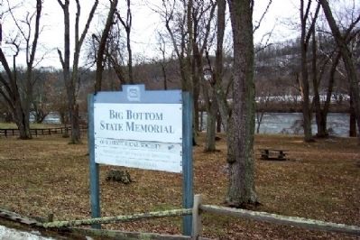
Stockport in Morgan County, Ohio — The American Midwest (Great Lakes)
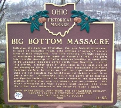
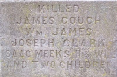
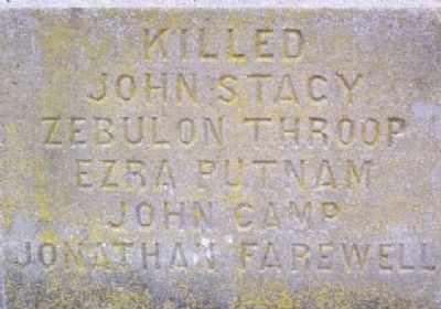
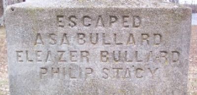
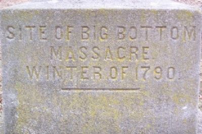
Big Bottom Massacre
Erected 2002 by Ohio Bicentennial Commission, The Longaberger Company, Morgan County Bicentennial Committee, and The Ohio Historical Society. (Marker Number 11-58.)
Topics and series. This historical marker is listed in these topic lists: Cemeteries & Burial Sites • Military • Native Americans • Notable Events • Settlements & Settlers • Wars, US Indian. In addition, it is included in the Ohio Historical Society / The Ohio History Connection series list. A significant historical month for this entry is January 1853.
Location. 39° 32.272′ N, 81° 46.804′ W. Marker is in Stockport, Ohio, in Morgan County. Marker is on Ohio Route 266, on the right when traveling south. Big Bottom State Memorial is about one mile southeast of Stockport, on east side of Muskingum River. Touch for map. Marker is in this post office area: Stockport OH 43787, United States of America. Touch for directions.
Other nearby markers. At least 8 other markers are within 8 miles of this marker, measured as the crow flies. Two Riverboat Pilots (approx. 0.8 miles away); The Stockport Mill (approx. 0.9 miles away); Underground Railroad (approx. 0.9 miles away); Stockport (approx. 0.9 miles away); Brick Church and Cemetery (approx. 2.2 miles away); Water Power on the Muskingum River (approx. 3.2 miles away); Quaker Meeting House (approx. 5.7 miles away); The Peninsula (approx. 7.3 miles away). Touch for a list and map of all markers in Stockport.
Also see . . .
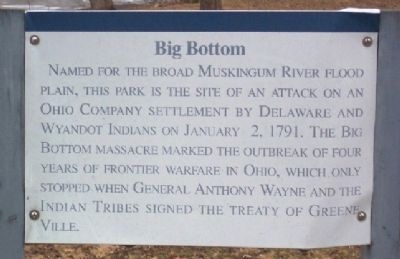
Photographed By William Fischer, Jr., February 7, 2009
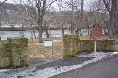
2. Big Bottom Marker
Older sign, now removed. it read, “Named for the broad Muskingum River flood plain, this park is the site of an attack on an Ohio Company settlement by Delaware and Wyandot Indians on January 2, 1791. The Big Bottom massacre marked the outbreak of four years of frontier warfare in Ohio, which only stopped when General Anthony Wayne and the Indian Tribes signed the Treaty of Greene Ville.”
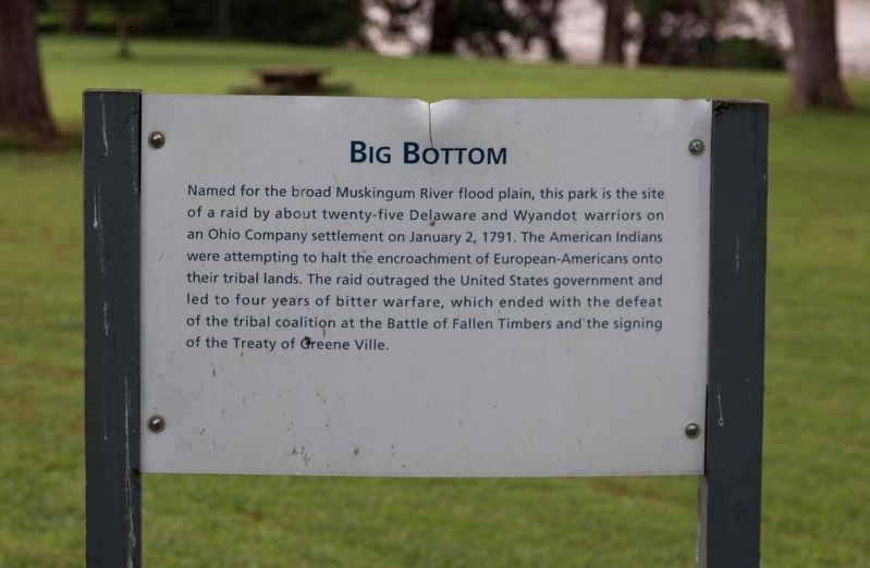
Photographed By J. J. Prats, August 22, 2018
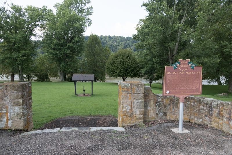
5. Big Bottom Marker
Sign in Photo 2 has been replaced with this one. It reads, “Named for the broad Muskingum River flood plain, this park is the site
of a raid by about twenty-five Delaware and Wyandot warriors on
an Ohio Company settlement on January 2, 1791. The American Indians
were attempting to halt the encroachment of European-Americans onto
their tribal lands. The raid outraged the United States government and
led to four years of bitter warfare, which ended with the defeat
of the tribal coalition at the Battle of Fallen Timbers and the signing
of the Treaty of Greene Ville.”
Credits. This page was last revised on August 26, 2018. It was originally submitted on March 4, 2009, by William Fischer, Jr. of Scranton, Pennsylvania. This page has been viewed 2,780 times since then and 127 times this year. Photos: 1, 2, 3. submitted on March 4, 2009, by William Fischer, Jr. of Scranton, Pennsylvania. 4, 5. submitted on August 26, 2018, by J. J. Prats of Powell, Ohio. 6, 7, 8, 9, 10, 11. submitted on March 4, 2009, by William Fischer, Jr. of Scranton, Pennsylvania. • Bill Pfingsten was the editor who published this page.
