Near Charlottesville in Albemarle County, Virginia — The American South (Mid-Atlantic)
Edgehill
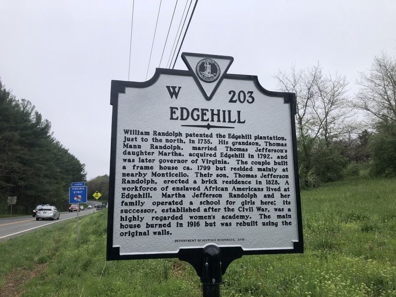
Erected 2016 by Department of Historic Resources. (Marker Number W-203.)
Topics and series. This historical marker is listed in these topic lists: Agriculture • Colonial Era • Education • Women. In addition, it is included in the Virginia Department of Historic Resources (DHR) series list. A significant historical year for this entry is 1735.
Location. 38° 0.931′ N, 78° 23.941′ W. Marker is near Charlottesville, Virginia, in Albemarle County. It
this page online

Regionally, this marker is in the Piedmont and in Central Virginia. It is also in the American South and specifically in the Upper South. Globally, it is in North America, the Western Hemisphere, the Western World, and the Anglosphere. Historically, it finds itself in what was once the territory of the Mississippian Culture, one of the original Thirteen Colonies, one of the Confederate States of America, and the Antebellum South.
Other nearby markers. At least 8 other markers are within 3 miles of this marker, measured as the crow flies: “The Albemarle 26” (approx. 0.4 miles away); Union Run Baptist Church (approx. 0.7 miles away); Shadwell, Birthplace of Thomas Jefferson (approx. 0.9 miles away); Thomas Jefferson (approx. one mile away); Marjorie S. Twohey (approx. 2.3 miles away); Southwest Mountains Rural Historic District (approx. 2.3 miles away); The Stables
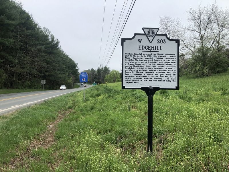
Another marker is no longer nearby. Edgehill (was within shouting distance of this marker but has been replaced with another marker now near it).
Related marker. Click here for another marker that is related to this marker. This marker has replaced the linked marker.
Credits. This page was last revised on February 2, 2023. It was originally submitted on April 11, 2021, by Devry Becker Jones of Washington, District of Columbia. This page has been viewed 1,823 times since then and 173 times this year. Photos: 1, 2. submitted on April 11, 2021, by Devry Becker Jones of Washington, District of Columbia.
