Beall-Dawson House
Enslavement in Rockville
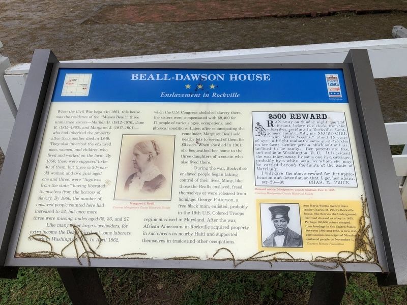
When the Civil War began in 1861, this house was the residence of the "Misses Beal," three unmarried sisters—Matilda B. (1812-1870), Jane E. (1815-1863), and Margaret J. (1817-1901)—who had inherited the property after their mother died in 1849. They also inherited the enslaved men, women, and children who lived and worked on the farm. By 1850, there were supposed to be 40 of them, but three (a 30-year-old woman and two girls aged one and three) were "fugitives from the state," having liberated themselves from the horrors of slavery. By 1860, the number of enslaved people counted here had increased to 52, but once more three were missing, males aged 65, 36, and 27.
Like many other large slaveholders, for extra income the Bealls hired out some laborers work in Washington, D.C. In April 1862, when the U.S. Congress abolished slavery there, the sisters were compensated with $9,400 for 17 people of various ages, occupations, and physical conditions. Later, after emancipating the remainder, Margaret Beall sold nearby lots to several of them for $5 each. When she died in 1901, she bequeathed her home to the three daughters of a cousin who also lived there.
During the war, Rockville's enslaved people began taking control of their lives. Many, like those the Bealls enslaved, freed themselves or were released from bondage. George
Patterson, a free black man, enlisted, probably in the 19th U.S. Colored Troops regiment raised in Maryland. After the war, African Americans in Rockville acquired property in such areas as nearby Haiti and supported themselves in trades and other occupations.
[Sidebar:]
Ann Maria Weems lived in slave trader Charles M. Price's Rockville house. She fled via the Underground Railroad dressed as a boy in 1855. Perhaps 100,000 others escaped from bondage in the United States between 1800 and 1865. A new state constitution emancipated Maryland's enslaved people on November 1, 1864.
Erected by Maryland Civil War Trails.
Topics and series. This historical marker is listed in these topic lists: Abolition & Underground RR • African Americans • War, US Civil • Women. In addition, it is included in the Maryland Civil War Trails series list. A significant historical month for this entry is April 1862.
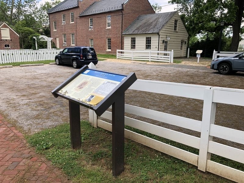
Location. 39° 5.095′ N, 77° 9.328′ W. Marker is in Rockville, Maryland, in Montgomery County. Marker is on West Middle Lane just west of North Adams Street, on the left when traveling west. Touch for map. Marker is at or near this postal address: 142 W Middle Ln, Rockville MD 20850, United States of America. Touch for directions.
Other nearby markers. At least 8 other markers are within walking distance of this marker. Beall Dawson House (here, next to this marker); Stonestreet Medical Museum
Related marker. Click here for another marker that is related to this marker. This marker has replaced the linked marker.
Credits. This page was last revised on June 6, 2021. It was originally submitted on June 6, 2021, by Devry Becker Jones of Washington, District of Columbia. This page has been viewed 216 times since then and 19 times this year. Photos: 1, 2. submitted on June 6, 2021, by Devry Becker Jones of Washington, District of Columbia.

