Traveling Gloucester
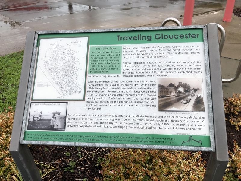
People have traversed the Gloucester County landscape for thousands of years. Native Americans moved between their settlements by water and on foot. Their routes later became important pathways for European colonists.
Settlers established networks of inland routes throughout the colonial period. By the eighteenth century, some of the former horse paths formed main roads. We still follow many of these, including as Routes 14 and 17, today. Residents established taverns and stores along these routes, including commerce within the county.
With the invention of the automobile in the late 1800s, transportation continued to change rapidly. By the early 1900s, Henry Ford's assembly line made cars affordable for more Americans. Former paths and dirt lanes were paved; Route 17 became an important thoroughfare for travelers heading north to Fredericksburg and south to Hampton Roads. Gas stations like this one sprung up along roadsides, much like taverns had in previous centuries, to serve the new demand.
Maritime travel was also important in Gloucester and the Middle Peninsula, and the area had many shipbuilding operations. In the seventeenth and eighteenth centuries, ferries moved people and horses across the country's rivers and across the Chesapeake Bay to the Eastern Shore. In the early 1800s, steamboats also became
convenient ways to travel and ship products ranging from seafood to daffodils to ports in Baltimore and Norfolk.
[Caption:]
The Folkes Map
This map shows the road systems, post offices, and "white" and colored" public schools in Gloucester County. It was drawn by R.A. Folkes in 1912. A larger version is etched in granite in front of this service station.
Erected by The Fairfield Foundation.
Topics. This historical marker is listed in these topic lists: Colonial Era • Industry & Commerce • Native Americans • Roads & Vehicles • Waterways & Vessels. A significant historical year for this entry is 1912.
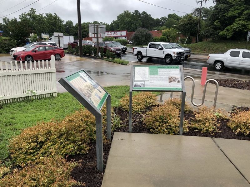
Location. 37° 24.753′ N, 76° 31.217′ W. Marker is in Gloucester, Virginia, in Gloucester County. Marker is at the intersection of Main Street (Business U.S. 17) and John Clayton Memorial Highway (Virginia Route 3/14), on the right when traveling west on Main Street. Touch for map. Marker is at or near this postal address: 6783 Main St, Gloucester VA 23061, United States of America. Touch for directions.
Other nearby markers. At least 8 other markers are within walking distance of this marker. People & Personalities of Edge Hill (here, next to this marker); History of the Edge Hill Intersection (here, next to this marker); Texaco Gas Pumps, c. 1930s (here, next to this marker); Welcome to the Edge Hill Service Station
Credits. This page was last revised on June 27, 2021. It was originally submitted on June 27, 2021, by Devry Becker Jones of Washington, District of Columbia. This page has been viewed 116 times since then and 17 times this year. Photos: 1, 2. submitted on June 27, 2021, by Devry Becker Jones of Washington, District of Columbia.

