Near Chivington in Kiowa County, Colorado — The American Mountains (Southwest)
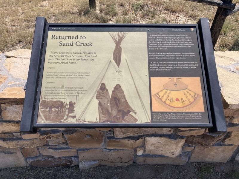
Returned to Sand Creek
Arapaho:
Wonoo3ei’i ceciniihi’ coowoo’ou’u. Nih’iine’etiino’ hiitiino. Neito’eininoo nih’iine’etii3i’ hiitiino.Nuhu’ biito’owu’, neyeih’inoo - cee’no’eeckoohuno.
Cheyenne:
Etaose’esehohae’xove. He’tohe ho’e hetseohe eso’eaahtse’ho’ta. Hetseohe nahvo’estaneheveme, Tsetsestahetse naa Tseso’taevetse. He’tohe ho’e nahesto’estestovenone. Naa hetsetseha naeseevaho’hoo’ohtseme.
The Sand Creek Massacre resulted in the deaths of over 150 Cheyenne and Arapaho people, many of them women and children. During the attack, and throughout the following day, scalps and other body parts were cut from many of the victims. In addition, robes, headdresses, moccasins, and other personal items were taken from bodies of the deceased.
In the following years and generations, a portion of these items were donated, bequeathed, sold, or by other means, acquired by museums and other repositories.
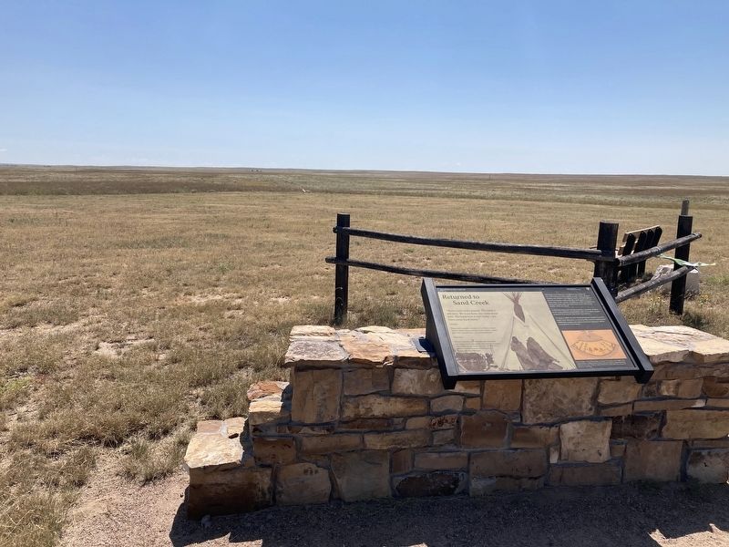
On June 2, 2008, the first burial of human remains from the Sand Creek Massacre occurred in this area. It is anticipated additional remains and objects from the massacre will be interred here in the future.
Caption: Painted lodge cover by Bear Wings, a Southern Cheyenne, circa 1880's. The lodge belonged to Whiteshield, a Sand Creek eyewitness. Original painting collected from Bear Wings in Indian Territory by James Mooney, Bureau of American Ethnology.
Erected by National Park Service.
Topics. This memorial is listed in these topic lists: Cemeteries & Burial Sites • Native Americans • Wars, US Indian. A significant historical date for this entry is June 2, 2008.
Location. 38° 32.944′ N, 102° 30.723′ W. Marker is near Chivington, Colorado, in Kiowa County. Memorial can be reached from County Highway W just east of Chief White Antelope Way. Located on Monument Hill. Touch for map. Marker is in this post office area: Eads CO 81036, United States of America. Touch for directions.
Other nearby markers. At least 8 other markers are within walking distance of this marker. Cheyenne and Arapaho Village at Sand Creek (within shouting distance of this marker); A Chief’s Village (within shouting distance of this marker); Dawn November 29, 1864 (within shouting distance of this marker); Sacred Memory (about 300 feet away, measured in a direct line); Fort Lyon Reservation (approx. ¼ mile away); Sand Creek as Camp Site (approx. ¼ mile away); Troops Approach the Village (approx. 0.4 miles away); Attack and Pursuit (approx. 0.4 miles away). Touch for a list and map of all markers in Chivington.
Credits. This page was last revised on September 24, 2021. It was originally submitted on September 3, 2021, by Connor Olson of Kewaskum, Wisconsin. This page has been viewed 145 times since then and 14 times this year. Photos: 1, 2. submitted on September 3, 2021, by Connor Olson of Kewaskum, Wisconsin. • Andrew Ruppenstein was the editor who published this page.

