Cody in Park County, Wyoming — The American West (Mountains)
Dead Indian Hill Summit
Altitude 8000 Feet
Photographed by Barry Swackhamer, July 21, 2021
1. Dead Indian Hill Summit Marker
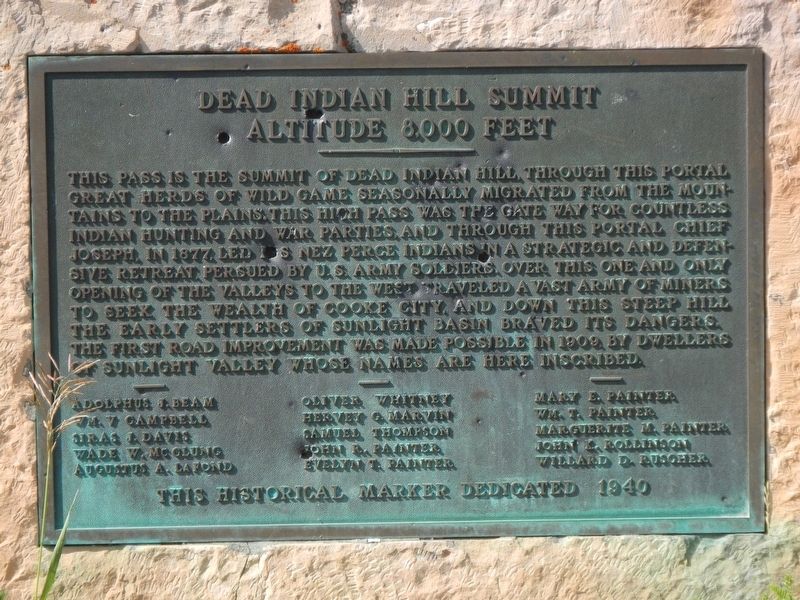
This pass is the summit of Dead Indian Hill. Through this portal great herds of wild game seasonally migrant from the mountains to the plains. This high pass was the gate way for countless Indian hunting and war parties, and through this portal Chief Joseph, in 1877, led his Nez Perce Indians in a strategic and defensive retreat, persued by U.S. Army soldiers. Over this on end only opening of valleys to the west traveled a vast army of miners to seek the wealth of Cooke City and down this steep hill the early settlers of Sunlight Basin braved its dangers. The first road improvement was made possible in 1909 by dwellers of Sunlight Valley whose names are here inscribed.
Adolphus J. Beam • Wm. V Campbell • Siras J. Davis • Wade W. McClung • Augustus A. LaFond • Oliver Whitney • Hervey G. Marvin • Samuel Thompson • John R. Painter • Evelyn T, Painter • Mary E. Painter • Wm. T. Painter • Marguerite M. Painter • John K. Rollinson • Willard D. Ruscher
Erected 1940.
Topics. This historical marker is listed in these topic lists: Anthropology & Archaeology • Indigenous Peoples and Communities • Roads & Vehicles
this page online
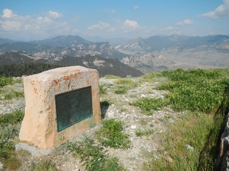
Location. 44° 44.608′ N, 109° 23.005′ W. Marker is in Cody, Wyoming, in Park County. It is on Dead Indian Hill Road (aka Crandall Road) (State Highway 296) near County Highway 103, on the right when traveling west. The maker is located at Dead Indian Hill Overlook. Touch for map. Marker is in this post office area: Cody WY 82414, United States of America. Touch for directions.

Regionally, this marker is in the Bighorn Basin and in Greater Yellowstone. It is also in the American Mountain West and in the Lewis & Clark Corridor. Globally, it is in North America, the Rocky Mountains, the Western Hemisphere, the Western World, and the Anglosphere.
Other nearby markers. At least 3 other markers are within walking distance of this marker: One Last Mountain: The Nez Perce War (a few steps from this marker); The Military: The Nez Perce War (a few steps from this marker); Diversion and Escape: The Nez Perce War (a few steps from this marker).
More about this marker. We have been informed by the great great grandson of the man whose name is first inscribed on
Photographed by Barry Swackhamer, July 21, 2021
2. Dead Indian Hill Summit Marker
Also see . . . Chief Joseph Scenic Byway to Dead Indian Summit -- Take My Trip. On the east side of Yellowstone, the Beartooth Highway is the one road you simply must drive. But if you can find some way to squeeze in another jaw-dropping scenic byway, Chief Joseph Scenic Byway is there for you. This scenic highway provides a connection between Cody, Wyoming, and Yellowstone’s northeast entrance. Along the way, it takes you through the stunning Sunlight Basin and over Dead Indian Pass, with dozens of curves in between the two. (Submitted on January 9, 2022, by Barry Swackhamer of Brentwood, California.)
Photographed by Barry Swackhamer, July 21, 2021
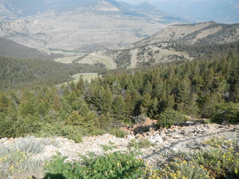
3. Dead Indian Hill Road from the overlook
Photographed by Barry Swackhamer, July 21, 2021
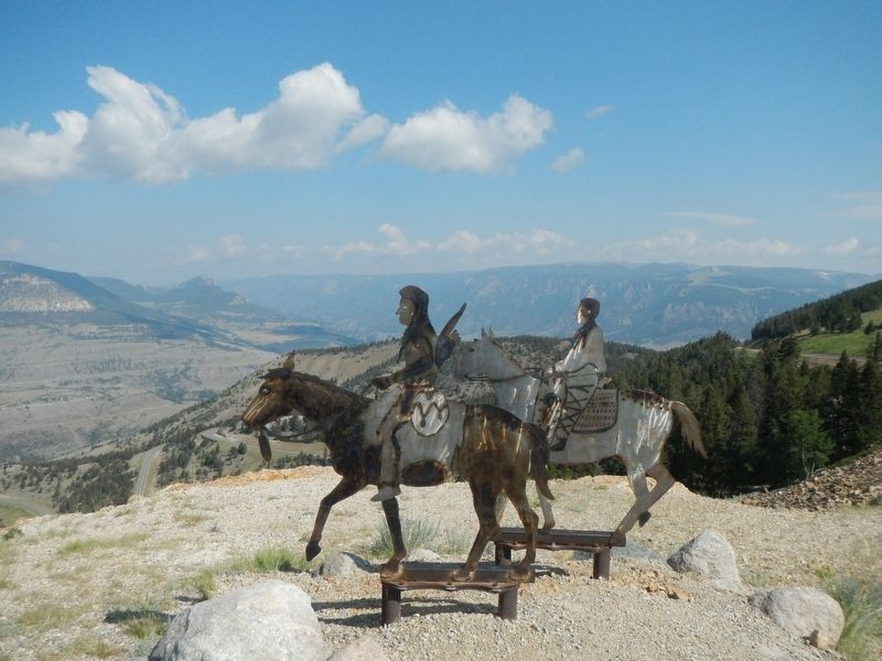
4. Dead Indian Hill Summit
Credits. This page was last revised on July 26, 2025. It was originally submitted on January 9, 2022, by Barry Swackhamer of Brentwood, California. This page has been viewed 2,132 times since then and 125 times this year. Photos: 1, 2, 3, 4. submitted on January 9, 2022, by Barry Swackhamer of Brentwood, California.
