Chattanooga in Hamilton County, Tennessee — The American South (East South Central)
Finding a Hidden Treasure
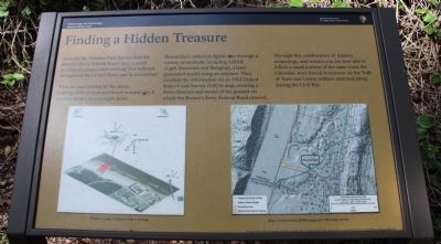
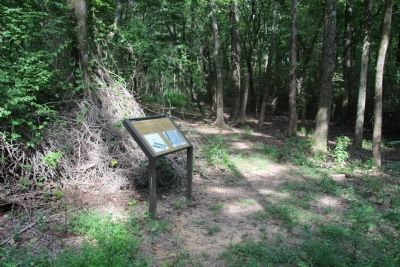
How did the National Park Service find the Brown's Ferry Federal Road trace, a small portion of a larger road network that radiated throughout the United States and its territories?
With the road hidden by the dense undergrowth of trees and brush around you, it was not as easy as you might think.
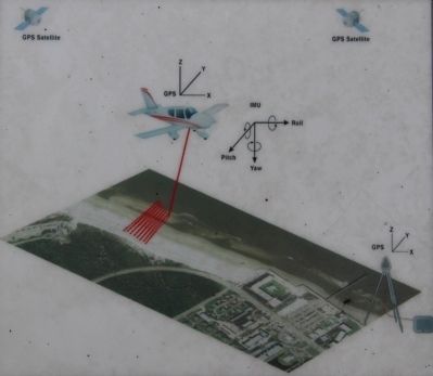
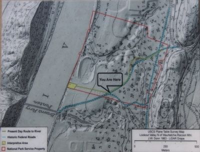
Researchers collected digital data through a variety of methods, including LiDAR (Light Detection and Ranging), a laser-generated model using an airplane. They overlaid the information on an 1863 United States Coast Survey (USCS) map, creating a three dimensional model of the ground on which the Brown's Ferry Federal Road crossed.
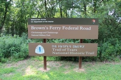
Through this combination of history, archaeology, and science you are now able to follow a small portion of the same route the Cherokee were forced to traverse on the Trail of Tears and the Union soldiers marched along during the Civil War.
Erected by Friends of Moccasin Bend National Park (through a grant by the Lyndhurst Foundation).
Topics. This historical marker is listed in these topic lists: Native Americans • Roads & Vehicles • War, US Civil. A significant historical year for this entry is 1863.
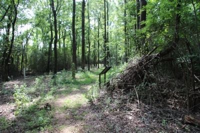
Location. 35° 3.352′ N, 85° 20.206′ W. Marker is in Chattanooga, Tennessee, in Hamilton County. Marker can be reached from the intersection of Pineville Road and Manufacturers Road, on the right when traveling south. This marker is located inside of the Moccasin Bend National Archaeological District, a significant distance from the roadway and the public parking area, along the walking trail, very deep into the woods, about ¾ of the way to the river. Touch for map. Marker is in this post office area: Chattanooga TN 37405, United States of America. Touch for directions.
Other nearby markers. At least 8 other markers are within 2 miles of this marker, measured as the crow flies. Crossing into History (approx. 0.2 miles away); A "Trace" of the Past (approx. 0.3 miles away); Brown's Ferry Federal Road (approx. 0.4 miles away); Industrial Heritage (approx. 0.8 miles away); Urban Renewal (approx. 0.8 miles away); Re-Opening the Tennessee River (approx. 1.1 miles away); Negley's and Wilder's Demonstrations Against Chattanooga (approx. 1.1 miles away); Boynton Park (approx. 1.1 miles away). Touch for a list and map of all markers in Chattanooga.
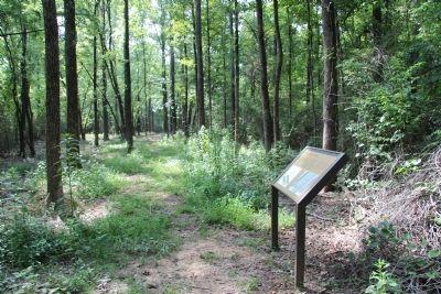
More about this marker. This marker is the third marker, in a series of four (4) markers that mark the footpath, used to walk portions of the old Brown's Ferry Federal Road, from the present day roadway, to the Tennessee River, and then back, a journey of about 1.2 miles, round-trip.
Credits. This page was last revised on February 8, 2022. It was originally submitted on June 9, 2015, by Dale K. Benington of Toledo, Ohio. This page has been viewed 717 times since then and 78 times this year. Last updated on February 7, 2022, by Bradley Owen of Morgantown, West Virginia. Photos: 1, 2, 3, 4, 5, 6, 7. submitted on June 10, 2015, by Dale K. Benington of Toledo, Ohio. • J. Makali Bruton was the editor who published this page.
