Near Manassas in Prince William County, Virginia — The American South (Mid-Atlantic)
Manassas National Battlefield Park
Virginia
| — | National Park Service, U.S. Department of the Interior | — |
Photographed by Devry Becker Jones (CC0), April 8, 2022
1. Manassas National Battlefield Park Marker
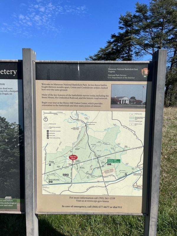
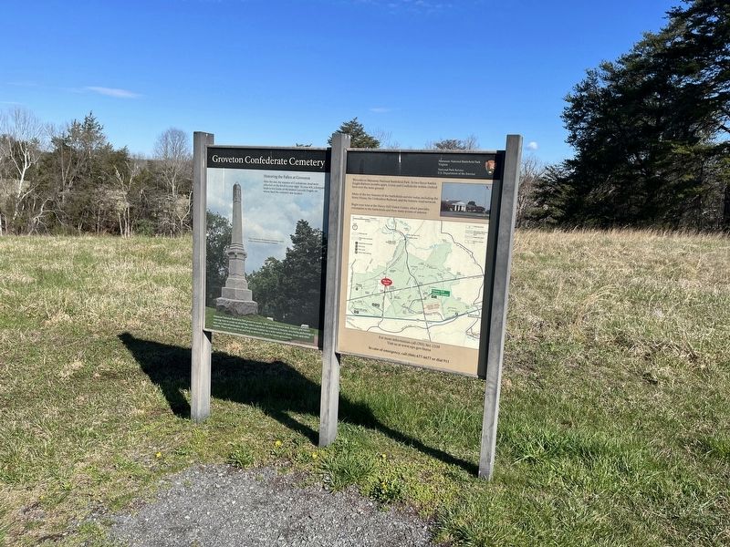
Welcome to Manassas National Battlefield Park. In two fierce battles fought thirteen months apart, Union and Confederate armies clashed here over the same ground.
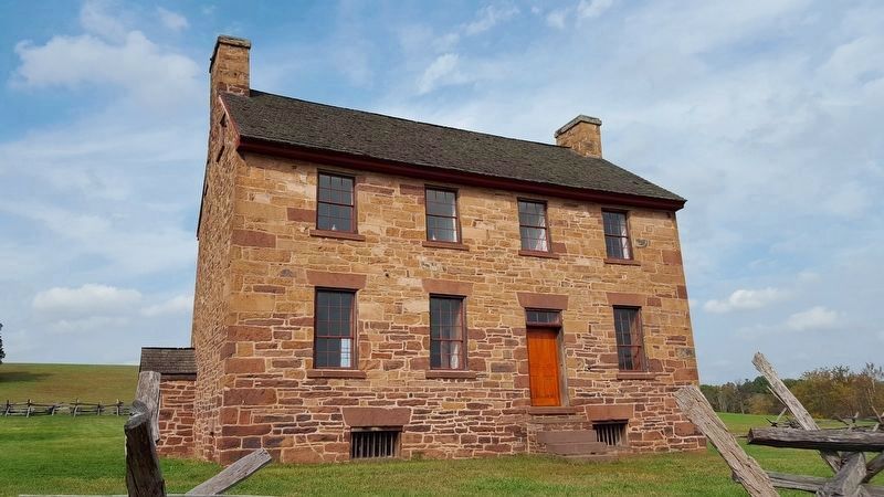
Many of the key features of the battlefields survive today, including the Stone House, the Unfinished Railroad, and the historic road network.
Begin your tour at the Henry Hill Visitor Center, which provides orientation to the battlefields and their many points of interest.
Erected by National Park Service, U.S. Department of the Interior.
Topics. This historical marker is listed in these topic lists: Parks & Recreational Areas • Railroads & Streetcars • Roads & Vehicles • War, US Civil.
Location. 38° 48.818′ N, 77° 32.819′ W. Marker is near Manassas, Virginia, in Prince William County. It can be reached from Lee Highway (U.S. 29) 0.1 miles east of Featherbed Lane, on the left when traveling east. Touch for map. Marker is at or near this postal address: 11750 Lee Hwy, Manassas VA 20109, United States of America. Touch for directions.

Regionally, this marker is in the Washington Metropolitan
this page online
Other nearby markers. At least 8 other markers are within walking distance of this marker: Groveton Confederate Cemetery (here, next to this marker); a different marker also named Groveton Confederate Cemetery (within shouting distance of this marker); Federal Artillery Position (about 300 feet away, measured in a direct line); Brooklyn Fourteenth (about 300 feet away); Monument To The Confederate Dead (about 300 feet away); Fighting in Twilight (about 400 feet away); Twilight Clash (about 400 feet away); New York Monuments (about 600 feet away). Touch for a list and map of all markers in Manassas.
Other markers no longer nearby.
Photographed by Devry Becker Jones (CC0), April 8, 2022
2. Manassas National Battlefield Park Marker
Additional commentary.
1. About Manassas and the Political Geography of Virginia
While the battlefields and namesake park take their names from the nearby City of Manassas, they are distinct from the City, and instead stand in neighboring Prince William County.
In the Commonwealth of Virginia, cities are independent of any county, even when they serve as county seats for the surrounding counties. The City of Manassas is the seat of Prince William County.
In a lot of cases, the U.S. Postal Service has designated the place name for several ZIP codes in Prince William County as "Manassas", even though the land is not in the City of Manassas.
If you ask residents of these ZIP codes, they are likely to tell you they live in "Manassas," even though they live in Prince William County. It's a fairly common phenomenon within the Mid-Atlantic United States.
— Submitted April 8, 2022, by Devry Becker Jones of Washington, District of Columbia.
Photographed by Bradley Owen, October 20, 2016
3. The Stone House
Credits. This page was last revised on April 18, 2022. It was originally submitted on April 8, 2022, by Devry Becker Jones of Washington, District of Columbia. This page has been viewed 629 times since then and 51 times this year. Photos: 1, 2. submitted on April 8, 2022, by Devry Becker Jones of Washington, District of Columbia. 3. submitted on April 9, 2022, by Bradley Owen of Morgantown, West Virginia.
