Lorton in Fairfax County, Virginia — The American South (Mid-Atlantic)
Welcome to Mason Neck!
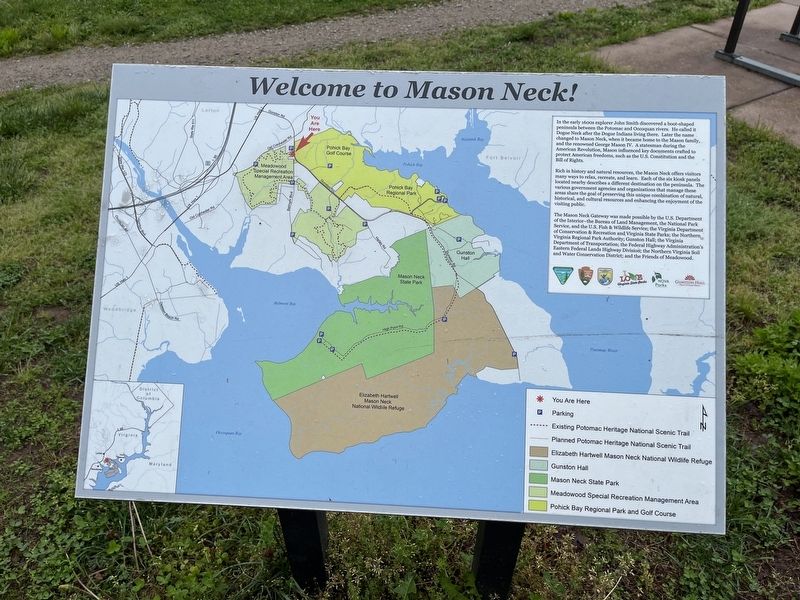
In the early 1600s explorer John Smith discovered a boot-shaped peninsula between the Potomac and Occoquan rivers. He called it Dogue Neck after the Dogue Indians living there. Later the name changed to Mason Neck, when it became home to the mason family, and the renowned George Mason IV. A statesman during the American Revolution, Mason influenced key documents crafted to protect American freedoms, such as the U.S. Constitution and the Bill of Rights.
Rich in history and natural resources, the Mason Neck offers visitors many ways to relax, recreate, and learn. Each of the six kiosk panels located nearby describes a different destination on the peninsula. The various government agencies and organizations that manage these areas share the goal of preserving this unique combination of natural, historical, and cultural resources and enhancing the enjoyment of the visiting public.
Erected by the U.S. Department of the Interior—the Bureau of Land Management, the National Park Service, and the U.S. Fish & Wildlife Service; the Virginia Department of Conservation & Recreation and Virginia State Parks; the Northern Virginia
this page online
Topics. This historical marker is listed in these topic lists: Colonial Era • Exploration • Government & Politics • Indigenous Peoples and Communities • Settlements & Settlers • War, US Revolutionary • Waterways & Vessels.
Location. 38° 41.003′ N, 77° 12.551′ W. Marker is in Lorton, Virginia, in Fairfax County. It is on Gunston Road (Virginia Route 242) 0.2 miles south of Old Colchester Road ( Route 611), on the right when traveling south. Touch for map. Marker is at or near this postal address: 10206 Gunston Rd, Lorton VA 22079, United States of America. Touch for directions.

Regionally, this marker is in the Washington Metropolitan Area and in Northern Virginia. It is also in the American South, specifically in the Upper South, in the Mid-Atlantic, and on the Eastern Seaboard. Globally, it is in the
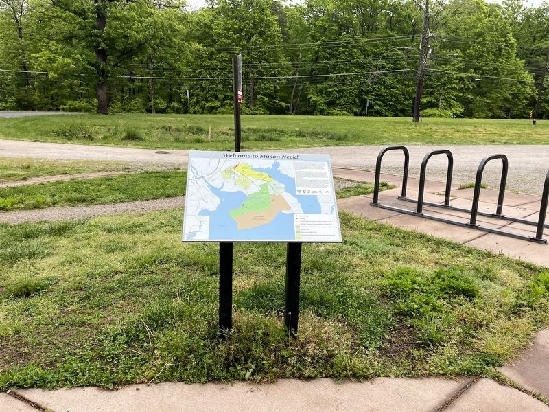
Other nearby markers. At least 8 other markers are within one mile of this marker, measured as the crow flies: Gunston Hall / Pohick Bay Regional Park and Golf Course (a few steps from this marker); Elizabeth Hartwell Mason Neck National Wildlife Refuge / Explore a Trail Network (a few steps from this marker); Indian Attack (approx. 0.3 miles away); Lewis Chapel / Cranford Memorial Methodist Church (approx. 0.3 miles away); Gunston Hall (approx. 0.3 miles away); Lewis Chapel (approx. 0.3 miles away); Joseph W. Jordan (approx. one mile away); In the Footsteps of History (approx. 1.1 miles away). Touch for a list and map of all markers in Lorton.
Credits. This page was last revised on May 8, 2022. It was originally submitted on May 8, 2022, by Devry Becker Jones of Washington, District of Columbia. This page has been viewed 867 times since then and 64 times this year. Photos: 1, 2. submitted on May 8, 2022, by Devry Becker Jones of Washington, District of Columbia.
