Derwood in Montgomery County, Maryland — The American Northeast (Mid-Atlantic)
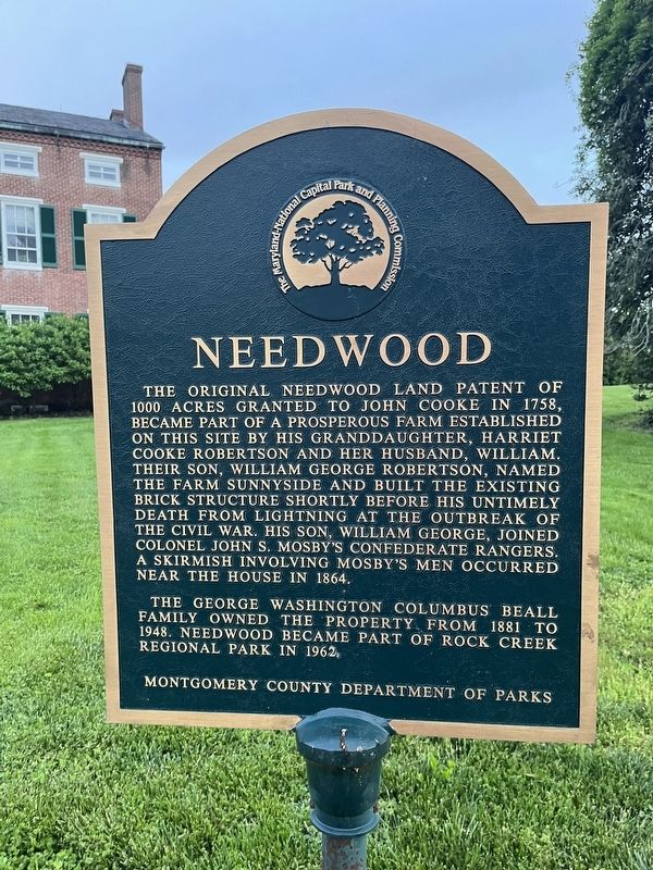
Needwood
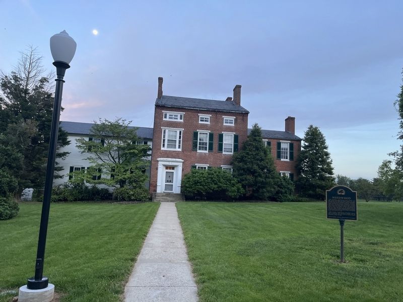
The original Needwood land patent of 1000 acres granted to John Cooke in 1758, became part of a prosperous farm established on this site by his granddaughter, Harriet Cooke Robertson and her husband, William, their son, William George Robertson, named the farm Sunnyside and built the existing brick structure shortly before his untimely death from lighting at the outbreak of the Civil War. His son William George, joined Colonel John S. Mosby's Confederate rangers. A skirmish involving Mosby's men occurred near the house in 1864.
The George Washington Columbus Beall family owned the property from 1881 to 1948. Needwood became part of Rock Creek Regional Park in 1962.
Erected by Montgomery County Department of Parks.
Topics. This historical marker is listed in these topic lists: Agriculture • Colonial Era • Parks & Recreational Areas • Settlements & Settlers • War, US Civil.
Location. 39° 7.335′ N, 77° 8.093′ W. Marker is in Derwood, Maryland, in Montgomery County. Marker can be reached from Needwood Road, 0.1 miles north of Jousting Terrace, on the right when traveling east. Touch for map. Marker is at or near this postal address: 6700 Needwood Rd, Derwood MD 20855, United States of America. Touch for directions.
Other nearby markers. At least 8 other markers are within 3 miles of this marker, measured as the crow flies. Near This Spot Lived and Lies Buried Jeremiah Crabbe (approx. 1.6 miles away); The Hay Drying Shed (approx. 2.1 miles away); George Washington Carver Junior College (approx. 2.2 miles away); Mattie J.T. Stepanek Peace Garden (approx. 2.3 miles away); Rockville - Pinneberg (approx. 2˝ miles away); Glenview Mansion (approx. 2˝ miles away); Haiti-Martin's Lane Community (approx. 2˝ miles away); Welcome to Washington Grove (approx. 2.6 miles away). Touch for a list and map of all markers in Derwood.
Credits. This page was last revised on May 14, 2022. It was originally submitted on May 14, 2022, by Devry Becker Jones of Washington, District of Columbia. This page has been viewed 161 times since then and 28 times this year. Photos: 1, 2. submitted on May 14, 2022, by Devry Becker Jones of Washington, District of Columbia.

