Potomac Overlook Regional Park in Arlington in Arlington County, Virginia — The American South (Mid-Atlantic)
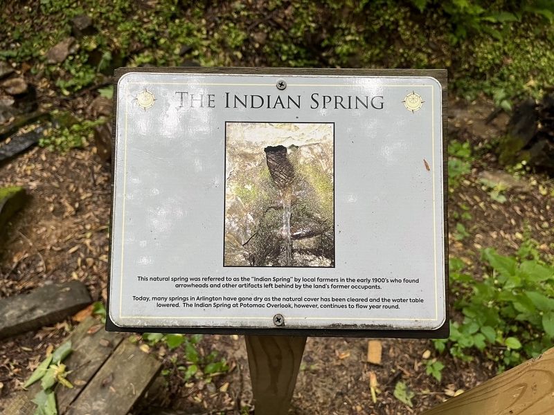
The Indian Spring
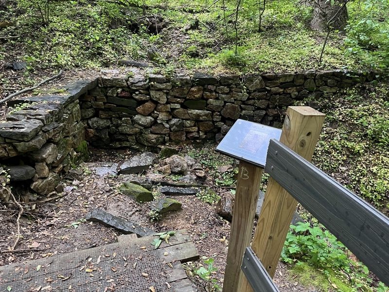
This natural spring was referred to as the "Indian Spring" by local farmers in the early 1900's who found arrowheads and other artifacts left behind by the land's former occupants.
Today, many springs in Arlington have gone dry as the natural cover has been cleared and the water table lowered. The Indian Spring at Potomac Overlook, however, continues to flow year round.
Erected by NOVA Parks.
Topics and series. This historical marker is listed in these topic lists: Agriculture • Anthropology & Archaeology • Native Americans • Natural Resources • Waterways & Vessels. In addition, it is included in the NOVA Parks series list.
Location. 38° 54.886′ N, 77° 6.43′ W. Marker is in Arlington, Virginia, in Arlington County. It is in Potomac Overlook Regional Park. Marker can be reached from Marcey Road, 0.2 miles north of Overlook Trail, on the right when traveling north. Touch for map. Marker is at or near this postal address: 2845 Marcey Rd, Arlington VA 22207, United States of America. Touch for directions.
Other nearby markers. At least 8 other markers are within walking distance of this marker. History of the Nature Center (about 300 feet away, measured in a direct line); Native American Home Site (about 300 feet away); Old Barns at Potomac Overlook (approx. 0.2 miles away); The Farm Road (approx. 0.2 miles away); This is Potomac Overlook! (approx. ¼ mile away); Glenmore (approx. 0.4 miles away); Navigation of the Potomac (approx. 0.4 miles away in District of Columbia); Abner Cloud House (approx. half a mile away in District of Columbia). Touch for a list and map of all markers in Arlington.
Credits. This page was last revised on March 3, 2023. It was originally submitted on May 15, 2022, by Devry Becker Jones of Washington, District of Columbia. This page has been viewed 123 times since then and 22 times this year. Photos: 1, 2. submitted on May 15, 2022, by Devry Becker Jones of Washington, District of Columbia.

