Near Preston in Caroline County, Maryland — The American Northeast (Mid-Atlantic)
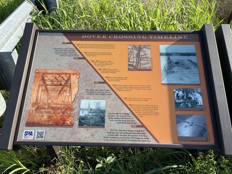
Dover Crossing Timeline
1760
1760: Talbot County resident Deborah Nichols is licensed to operate a ferry near the lost town of Dover. Women often took over the ferry operator position from their husbands when the men passed away.
1765: Caroline County resident Henry Troth begins operating a second ferry north of the Dover Ferry's crossing by constructing a causeway through the marsh.
1786: The Dover Ferry's route is transferred north to Troth's crossing and no longer operates from Barkers Landing near Dover.
1800
1810 - 1811: The first Dover Bridge is built. It is 1200-feet long, on oak piles with a pine deck and railing and a 50-foot wide draw.
1860 - 1861: Caroline and Talbot Counties appropriate funds for a new Dover Bridge for $8, 540.83.
1898: After decades of disruptive repairs, a three-span iron bridge replaced the second Dover Bridge.
1900
1900: The Dover Bridge's wooden draw is destroyed when a traction engine crashes through the bridge and sinks to the bottom of the Choptank River. A boat is built to temporarily transport wagons and horses across the river.
1909: Talbot and Caroline County Commissioners announce plans to rebuild the Dover Bridge yet again.
1912: The Counties construct a 515-long iron truss bridge as the fourth Dover Bridge.
1931: The State Roads Commission appropriates funds to rebuild the Eastern Shore's unsafe and narrow bridges, including the Dover Bridge. This region is now heavily reliant on automobile transportation for shipping agricultural products and seafood to markets.
1933: The fifth Dover Bridge is finished. The structure's rare design combines elements of both a movable swing span and a metal Warren truss bridge.
2000
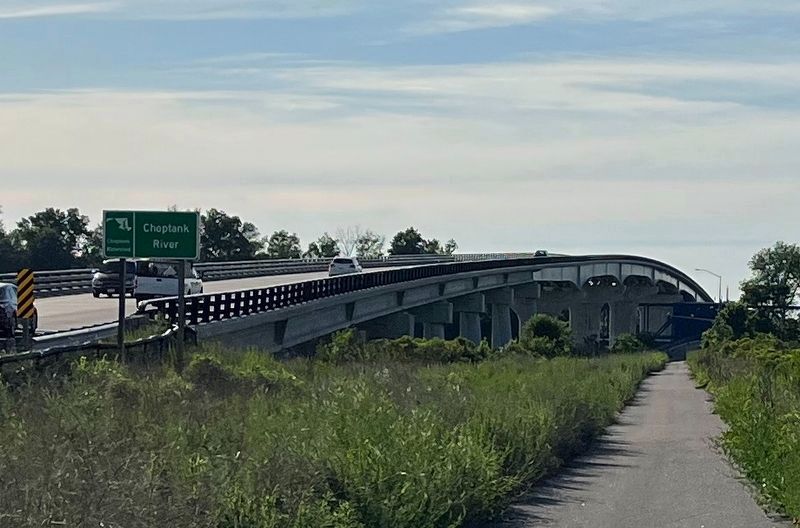
2017: The sixth Dover Bridge is a high-level fixed-span that will not disrupt either automobile or boat traffic. The SHA, the successor of the State Roads Commission, preserves the 1933 swing-truss bridge in place because of its historic engineering significance.
Erected by State Highway Administration.
Topics. This historical marker is listed in these topic lists: Agriculture • Bridges & Viaducts • Industry & Commerce • Roads & Vehicles • Waterways & Vessels • Women. A significant historical year for this entry is 1760.
Location. 38° 45.37′ N, 75° 59.721′ W. Marker is near Preston, Maryland, in Caroline County. Marker is on Dover Bridge Road (Maryland Route
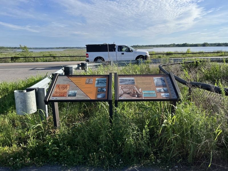
Other nearby markers. At least 8 other markers are within 5 miles of this marker, measured as the crow flies. The Dover Bridge (here, next to this marker); Peachblossom Meetinghouse (approx. 4.2 miles away); Archaeology at the Bethel African Methodist Episcopal Church (approx. 4.3 miles away); Third Haven (approx. 4.4 miles away); The Bullitt House (approx. 4.4 miles away); Easton's Fire Bell (approx. 4˝ miles away); Mt. Pleasant M. E. Church (approx. 4˝ miles away); Mt. Pleasant Cemetery (approx. 4˝ miles away). Touch for a list and map of all markers in Preston.
Credits. This page was last revised on June 4, 2022. It was originally submitted on June 4, 2022, by Devry Becker Jones of Washington, District of Columbia. This page has been viewed 545 times since then and 9 times this year. Photos: 1, 2, 3. submitted on June 4, 2022, by Devry Becker Jones of Washington, District of Columbia.


