
Mackinac Island in Mackinac County, Michigan — The American Midwest (Great Lakes)
Skull Cave
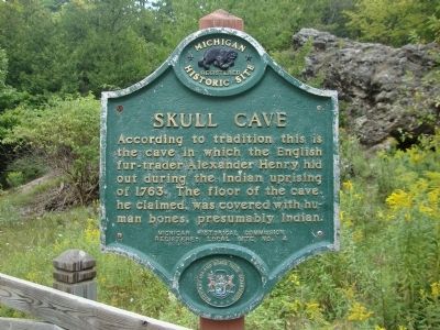
Photographed by M H, August 21, 2010
1. Skull Cave Marker
Erected by Michigan Historical Commission. (Marker Number 4.)
Topics and series. This historical marker is listed in these topic lists: Cemeteries & Burial Sites • Colonial Era • Indigenous Peoples and Communities • Wars, US Indian. In addition, it is included in the Michigan Historical Commission series list. A significant historical year for this entry is 1763.
Location. Marker has been permanently removed. It was located near 45° 51.447′ N, 84° 37.13′ W. Marker was on Mackinac Island, Michigan, in Mackinac County. It was at the intersection of Garrison Road and Rifle Range Road, on the right when traveling north on Garrison Road. Touch for map. Marker was in this post office area: Mackinac Island MI 49757, United States of America.
We have been informed that this marker is no longer there and will not be replaced. This page is an archival view of what was.
Regionally, this marker was
this page online

Other nearby markers. At least 8 other markers are within walking distance of this location: A different marker also named Skull Cave (here, next to this marker); Home Of The Ancestors (here, next to this marker); Fort Holmes (about 600 feet away, measured in a direct line); Post Cemetery (about 700 feet away); a different marker also named Fort Holmes (approx. 0.2 miles away); Sugar Loaf (approx. 0.3 miles away); Scout Barracks / Parade Ground (approx. 0.3 miles away); Historic Fort Mackinac (approx. 0.3 miles away). Touch for a list and map of all markers in Mackinac Island.
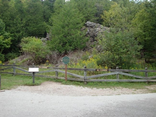
Photographed by M H, August 21, 2010
2. Distant view of marker and cave
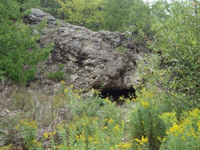
Photographed by M H, August 21, 2010
3. Skull Cave
Credits. This page was last revised on May 31, 2026. It was originally submitted on August 26, 2010. This page has been viewed 1,765 times since then and 23 times this year. Last updated on August 20, 2022. Photos: 1, 2, 3. submitted on August 26, 2010, by Mh of Las Vegas, Nevada. • Bill Pfingsten was the editor who published this page.
