Church Creek in Dorchester County, Maryland — The American Northeast (Mid-Atlantic)
Highway to Freedom
Harriet Tubman Underground Railroad Byway
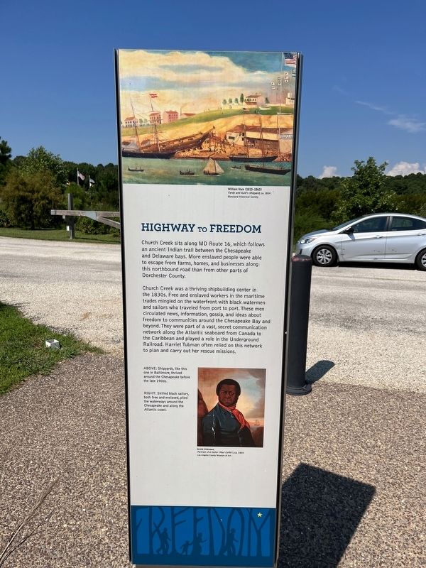
Church Creek sits along MD Route 16, which follows an ancient Indian trail between the Chesapeake and Delaware bays. More enslaved people were able to escape from farms, homes, and businesses along this northbound road than from other parts of Dorchester County.
Church Creek was a thriving shipbuilding center in the 1830s. Free and enslaved workers in the maritime trades mingled on the waterfront with black watermen and sailors who traveled from port to port. These men circulated news, information, gossip, and ideas about freedom to communities around the Chesapeake Bay and beyond. They were part of a vast, secret communication network along the Atlantic seaboard from Canada to the Caribbean and played a role in the Underground Railroad. Harriet Tubman often relied on this network to plan and carry out her rescue missions.
[Captions:]
Above: Shipyards, like this one in Baltimore, thrived around the Chesapeake before the late 1900s.
Right: Skilled black sailors, both free and enslaved, plied the waterways around the Chesapeake and along the Atlantic coast.
Erected by America's Byways; Maryland Heritage Area Authority.
Topics and series. This historical marker is listed in these topic lists: Abolition & Underground RR • African Americans • Industry & Commerce • Native Americans • Roads & Vehicles • Waterways & Vessels. In addition, it is included in the Harriet Tubman Underground Railroad Byway series list.
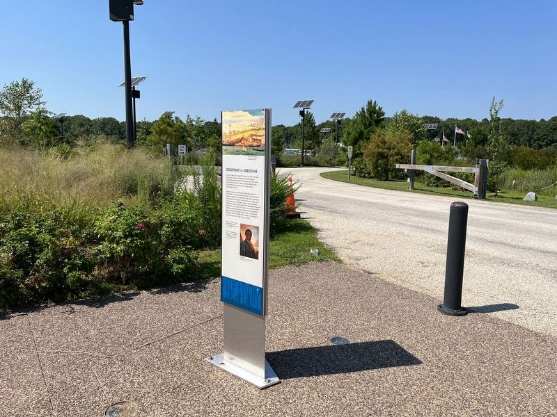
Location. 38° 26.882′ N, 76° 8.281′ W. Marker is in Church Creek, Maryland, in Dorchester County. Marker is on Golden Hill Road (Maryland Route 335) south of Key Wallace Drive, on the right when traveling south. Touch for map. Marker is at or near this postal address: 4030 Golden Hill Rd, Woolford MD 21677, United States of America. Touch for directions.
Other nearby markers. At least 8 other markers are within one mile of this marker, measured as the crow flies. Harriet Tubman Underground Railroad Visitor Ctr. (here, next to this marker); Harriet Tubman (about 300 feet away, measured in a direct line); The Underground Railroad (about 300 feet away); The Harriet Tubman Underground Railroad Byway (about 400 feet away); The Harriet Tubman Underground Railroad Visitor Center (about 500 feet away); Blackwater National Wildlife Refuge
![Explore the Heart of Chesapeake Country [Marker reverse]. Click for full size. Explore the Heart of Chesapeake Country [Marker reverse] image. Click for full size.](Photos6/675/Photo675657.jpg?830202292000PM)
Photographed By Devry Becker Jones (CC0), August 27, 2022
2. Explore the Heart of Chesapeake Country [Marker reverse]
Credits. This page was last revised on August 30, 2022. It was originally submitted on August 30, 2022, by Devry Becker Jones of Washington, District of Columbia. This page has been viewed 81 times since then and 10 times this year. Photos: 1, 2, 3. submitted on August 30, 2022, by Devry Becker Jones of Washington, District of Columbia.

