West End in Boston in Suffolk County, Massachusetts — The American Northeast (New England)
The Keany Square Building
251 Causeway Street
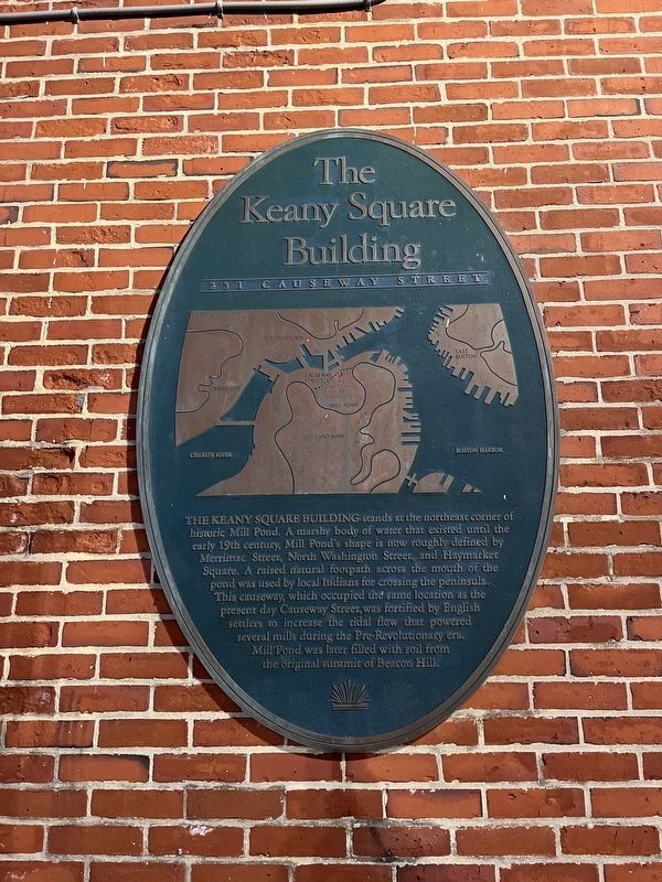
The Keany Square Building stands at the northeast corner of historic Mill Pond. A marshy body of water that existed until the early 19th century, Mill Pond's shape is now roughly defined by Merrimac Street, North Washington Street, and Haymarket Square. A raised natural footpath across the mouth of the pond was used by local Indians for crossing the peninsula. This causeway, which occupied the same location as the sent day Causeway Street, was fortified by English settlers to increase the tidal flow that powered several mills during the Pre-Revolutionary era. Mill Pond was later filled with soil from the original summit of Beacon Hill.
Topics. This historical marker is listed in these topic lists: Colonial Era • Immigration • Indigenous Peoples and Communities • Industry & Commerce • Settlements & Settlers • Waterways & Vessels.
Location. 42° 21.993′ N, 71° 3.533′ W. Marker is in Boston, Massachusetts, in Suffolk County. It is in West End. It is on Causeway Street west of North Washington Street, on the right when traveling east. Touch for map.
this page online

Regionally, this marker is in Historic Boston. It is also in the American Northeast, in New England, and on the Eastern Seaboard. Globally, it is in the North Atlantic Region, North America, the Western Hemisphere, the Western World, and the Anglosphere. Historically, it finds itself in what was once one of the original Thirteen Colonies.
Other nearby markers. At least 8 other markers are within walking distance of this marker: Converse (about 300 feet away, measured in a direct line); Thomas P. "Tip" O'Neill, Jr. (about 400 feet away); North Terminal Corporation (about 500 feet away); Copp’s Hill and the American Revolution (about 700 feet away); Gravestone Art: Skulls, Wings, and Other Symbols (about 800 feet away); Welcome to Copp’s Hill Burying Ground (about 800 feet away); Copp’s Hill Burying Ground (about 800 feet away); African Americans at Copp’s Hill (about 800 feet away). Touch for a list and map of all markers in Boston.
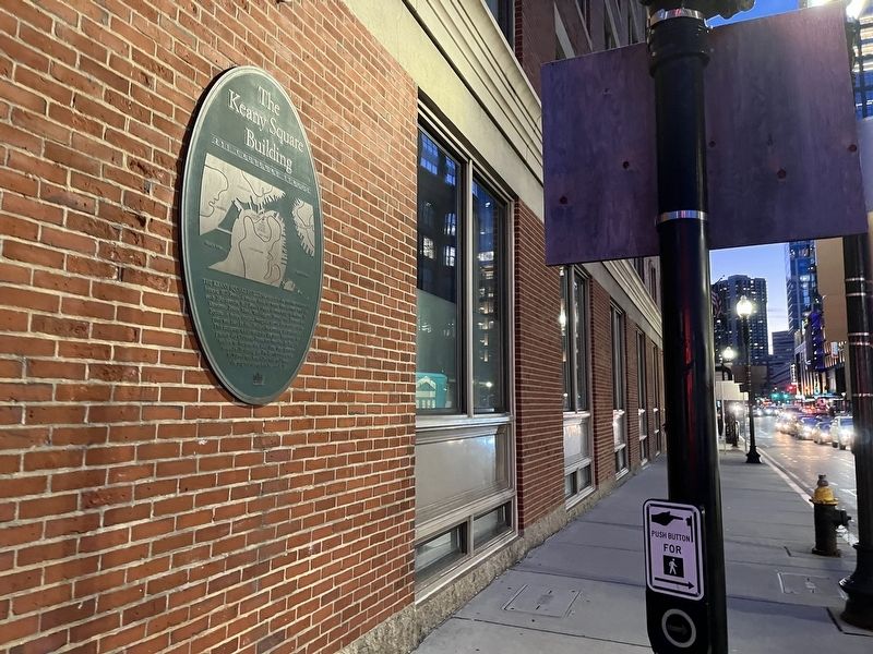
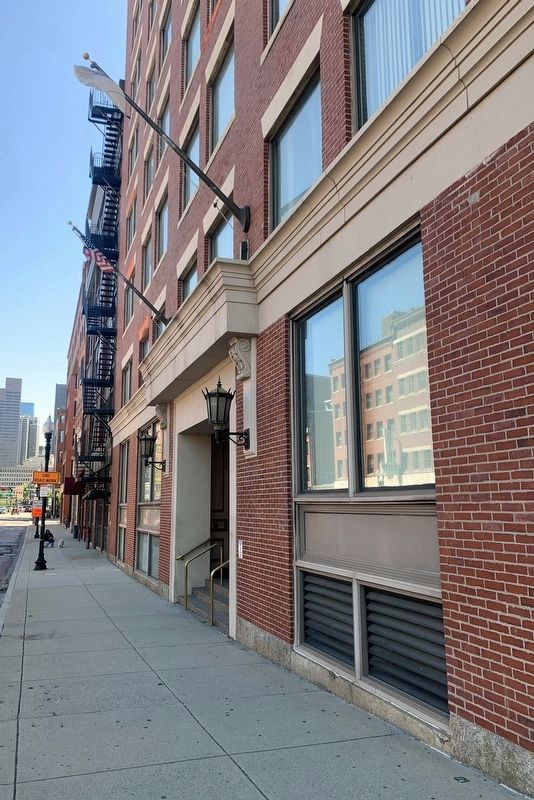
Photographed by Marc Posner, May 26, 2025
3. Keany Square Building(front)
Credits. This page was last revised on June 16, 2025. It was originally submitted on January 30, 2023, by Devry Becker Jones of Washington, District of Columbia. This page has been viewed 1,483 times since then and 126 times this year. Photos: 1, 2. submitted on January 30, 2023, by Devry Becker Jones of Washington, District of Columbia. 3. submitted on June 11, 2025, by Marc Posner of Somerville, Massachusetts.
Editor’s want-list for this marker. Clear, daylight photos of the marker and its context. • Can you help?
