East Boston in Suffolk County, Massachusetts — The American Northeast (New England)
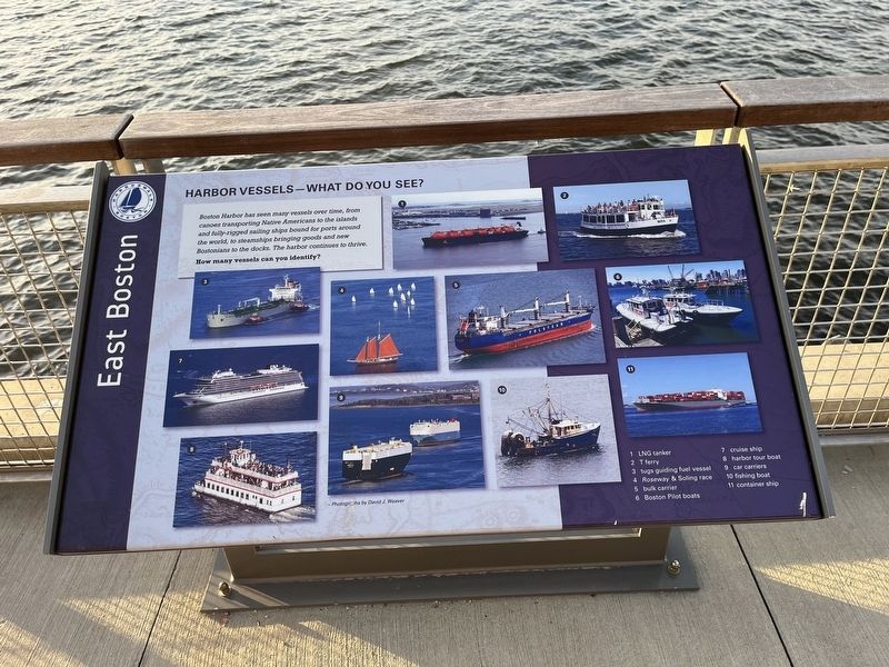
Harbor Vessels - What Do You See?
East Boston
— Harborwalk Boston —
Boston Harbor has seen many vessels over time, from canoes transporting Native Americans to the islands and fully-rigged sailing ships bound for ports around the world, to steamships bringing goods and new Bostonians to the docks. The harbor continues to thrive.
How many vessels can you identify?
1. LNG tanker
2. T ferry
3. tugs guiding fuel vessel
4. Roseway & Soling race
5. bulk carrier
6. Boston Pilot boats
7. cruise ship
8. harbor tour boat
9. car carriers
10. fishing boat
11. container ship
Erected by Harborwalk Boston.
Topics. This historical marker is listed in these topic lists: Immigration • Industry & Commerce • Native Americans • Parks & Recreational Areas • Roads & Vehicles • Waterways & Vessels.
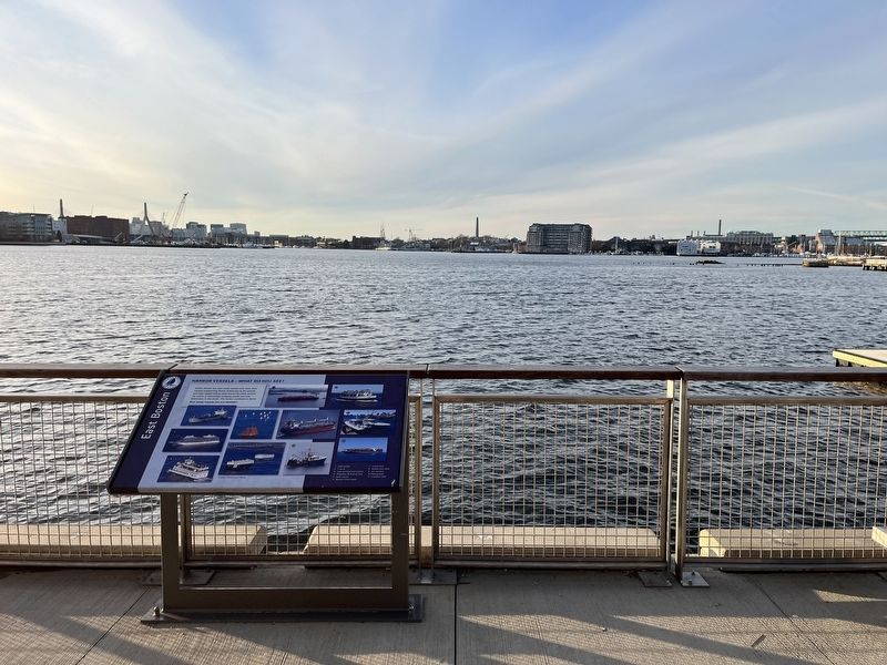
Location. 42° 22.062′ N, 71° 2.562′ W. Marker is in Boston, Massachusetts, in Suffolk County. It is in East Boston. Marker is on Lewis Street west of Marginal Street, on the right when traveling east. Touch for map. Marker is at or near this postal address: 25 Lewis St, Boston MA 02128, United States of America. Touch for directions.
Other nearby markers. At least 8 other markers are within walking distance of this marker. Exploring the Living Shoreline (within shouting distance of this marker); Prolific Inventor: Otis Tufts (within shouting distance of this marker); East Boston (about 400 feet away, measured in a direct line); Islands - Volkan Alkanoglu, 2019 (about 400 feet away); Carlton's Wharf (about 400 feet away); View of Boston in 1848. (about 500 feet away); a different marker also named East Boston (about 500 feet away); From Boilers to Biotech (about 500 feet away). Touch for a list and map of all markers in Boston.
Credits. This page was last revised on February 6, 2023. It was originally submitted on February 6, 2023, by Devry Becker Jones of Washington, District of Columbia. This page has been viewed 56 times since then and 9 times this year. Photos: 1, 2. submitted on February 6, 2023, by Devry Becker Jones of Washington, District of Columbia.

