Near Stafford in Stafford County, Virginia — The American South (Mid-Atlantic)
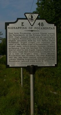
Kidnapping of Pocahontas
Erected 2001 by Department of Historic Resources. (Marker Number E-48.)
Topics and series. This historical marker is listed in these topic lists: Colonial Era • Native Americans • Settlements & Settlers • Waterways & Vessels • Women. In addition, it is included in the Virginia Department of Historic Resources (DHR) series list. A significant historical month for this entry is April 1613.
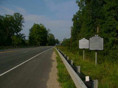
Location. 38° 22.529′ N, 77° 27.087′ W. Marker is near Stafford, Virginia, in Stafford County. Marker is on Jefferson Davis Highway (U.S. 1) 0.4 miles Centreport Parkway, on the right when traveling north. Touch for map. Marker is in this post office area: Stafford VA 22555, United States of America. Touch for directions.
Other nearby markers. At least 8 other markers are within 3 miles of this marker, measured as the crow flies. Marlborough (here, next to this marker); "Lest We Forget" (approx. 1.2 miles away); Land for God's Work (approx. 1˝ miles away); Milton Snellings (approx. 1.6 miles away); Hulls Memorial Baptist Church (approx. 1.6 miles away); Original Bell of Hulls Memorial Baptist Church (approx. 1.7 miles away); Veterans Memorial (approx. 1.8 miles away); History at Leeland Station (approx. 2.3 miles away).
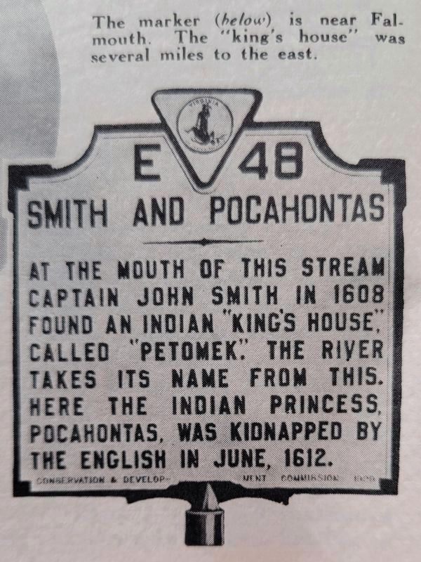
More about this marker. This marker replaced a marker with the same number, but titled “Potomac Creek,” erected in the late 1920s or early 1930s about 1½ miles south where the road crosses the creek. It read, “Near the mouth of this creek, several miles east, explorers in 1608 found an Indian village called ‘Petomec,’ from which the river took its name. There the Indian princess, Pocahontas, was kidnapped by Captain Argall in 1613. There travelers landed from steamers to take the stage to Fredericksburg; early railroad terminus. Charles Dickens landed there, going to Richmond, and returned the same way, March, 1842.”
Related markers. Click here for a list of markers that are related to this marker. Other markers about Pocahontas.
Additional keywords. abduction, human trafficking

4. Smith and Pocahontas
Black and white photograph of and earlier marker titled, "Smith and Pocahontas." It reads,
"At the mouth of this stream, Captain John Smith in 1608 found an Indian "Kings House" called "Petomek." The river takes its name from this. Here the Indian princess, Pocahontas, was kidnapped by the English in June 1612.
Photograph is from an undated Virginia tourist brochure.
Credits. This page was last revised on November 26, 2021. It was originally submitted on August 30, 2007, by Kevin W. of Stafford, Virginia. This page has been viewed 9,469 times since then and 392 times this year. Photos: 1, 2. submitted on August 30, 2007, by Kevin W. of Stafford, Virginia. 3. submitted on July 28, 2013, by Allen C. Browne of Silver Spring, Maryland. 4. submitted on November 7, 2021, by Kevin W. of Stafford, Virginia. • J. J. Prats was the editor who published this page.


