West Kingston in Charlestown in Washington County, Rhode Island — The American Northeast (New England)
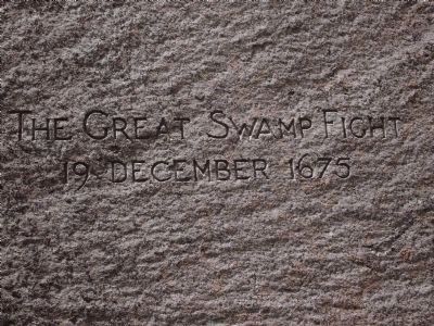
The Great Swamp Fight
19 December 1675
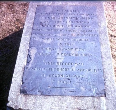
within their fort upon this island
the Narragansett Indians
made their last stand
in King Philip's War and
were crushed by the united forces
of the Massachusetts Connecticut
and Plymouth Colonies
in the
“Great Swamp Fight”
Sunday 19 December 1675
This record was
placed by the Rhode Island Society
of Colonial Wars
1906
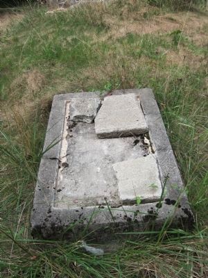
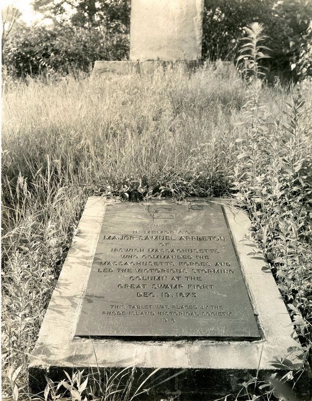
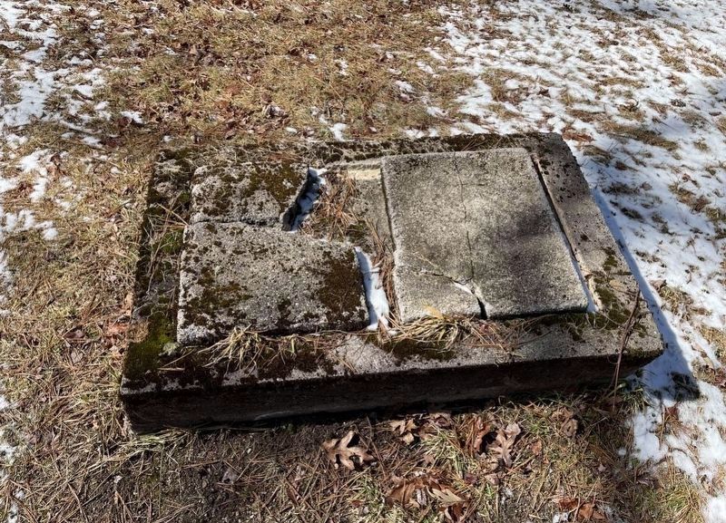
Note: A second marker, now missing, was placed on the opposite side of the obelisk on Nov. 3, 1916. It read:
Major Samuel Appleton
of Ipswich, Massachusetts
who commanded the
Massachusetts forces and
led the victorious storming
column at the
Great Swamp Fight
Dec. 19, 1675
This Tablet placed by the
Rhode Island Historical Society
1916
Erected 1906 by the Societies of Colonial Wars of Rhode Island and Massachusetts.
Topics. This historical marker is listed in these topic lists: Native Americans • Patriots & Patriotism • Wars, US Indian. A significant historical date for this entry is December 19, 1675.
Location. 41° 28.118′ N, 71° 35.736′ W. Marker is in Charlestown, Rhode Island, in Washington County. It is in West Kingston. Marker can be reached from South County Trail (Rhode Island Route 2) 1.4 miles south of Kingstown Road (Rhode Island Route 132), on the left when traveling west. Touch for map. Marker is at or near this postal address: 4425 S County Trail, West Kingston RI 02892, United States of America. Touch for directions.
Other nearby markers. At least 8 other markers are within 6 miles of this marker, measured as the crow flies. Washington County Jail (approx. 3.7 miles away); Griffin's Hollow (approx. 5.4 miles away); Dedicated to All Patriots (approx. 5.7 miles away); In Memory of All War Veterans (approx. 5.7 miles away); Rhode Island National Guard (approx. 5.8 miles away); Medal of Honor-Honor Roll (approx. 5.8 miles away); Jewish War Veterans (approx. 5.9 miles away); Address by President Abraham Lincoln (approx. 6.1 miles away).
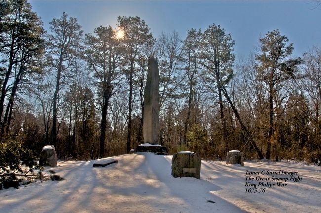
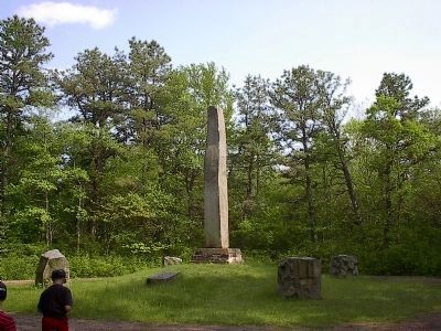
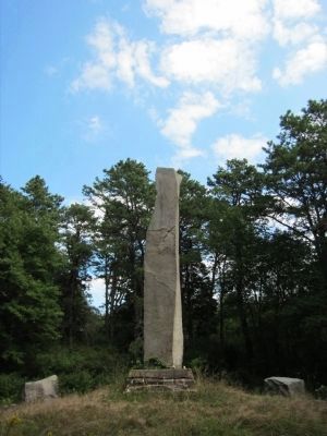
More about this marker. The obelisk is located about 1 mile south of intersection of South County Trail (Rt 2) and Great Swamp Monument Road, slightly west of the intersection with Liberty Lane. It is depicted on Google Earth. There was a historical marker sign there at one time. Turn left and go south to the end which is a cul de sac. There may be a vehicle gate closed at about 2/10 mile, but follow the trail south to the monument.
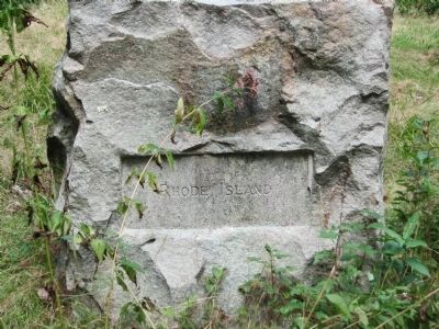
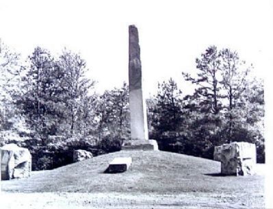
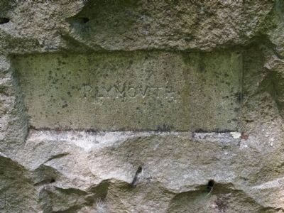
The 20-foot tall obelisk is centered among four massive boulders, engraved with the names of each of the four United Colonies (Massachusetts, Plymouth, Connecticut, and Rhode Island).
Credits. This page was last revised on March 18, 2024. It was originally submitted on September 30, 2009, by Byron C. Lewin of University Place, Washington. This page has been viewed 16,160 times since then and 256 times this year. Photos: 1. submitted on April 9, 2010, by Dwight C. Brown Jr. of Bradford, Rhode Island. 2, 3. submitted on September 3, 2012, by Barbara Lema of Warwick, Rhode Island. 4. submitted on February 18, 2013, by James Clayton Sattel of Portsmouth, Rhode Island. 5. submitted on June 7, 2021, by Derek R DeMello of Dighton, Massachusetts. 6. submitted on May 12, 2022, by Glen Prentice of Attleboro, Mass. 7. submitted on October 14, 2009, by Kevin W. of Stafford, Virginia. 8. submitted on October 4, 2009, by Byron C. Lewin of University Place, Washington. 9. submitted on October 14, 2009, by Kevin W. of Stafford, Virginia. 10, 11, 12, 13, 14. submitted on June 4, 2012, by Bryan Simmons of Attleboro, Massachusetts. 15. submitted on September 3, 2012, by Barbara Lema of Warwick, Rhode Island. • Kevin W. was the editor who published this page.
Editor’s want-list for this marker. Clearer photograph of the missing Major Samuel Appleton memorial marker. • Can you help?
