Near Keene in Kern County, California — The American West (Pacific Coastal)
Helen's Park
| — | Cesar E. Chavez National Monument | — |
Photographed by Denise Boose, October 6, 2023
1. Helen's Park Marker
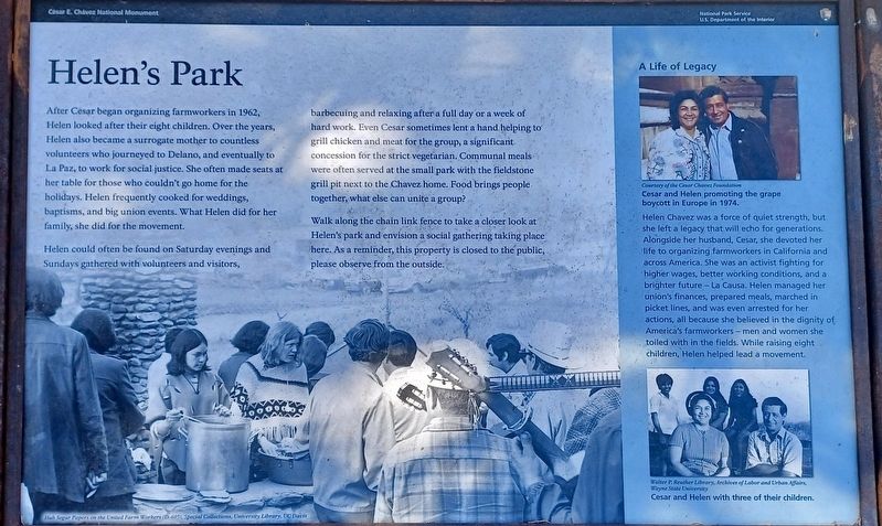
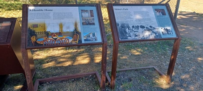
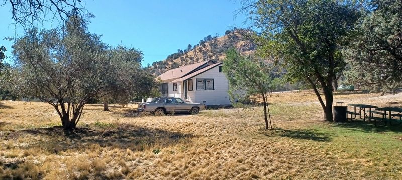
Helen could often be found on Saturday evenings and Sundays gathered with volunteers and visitors, barbecuing and relaxing after a full day or a week of hard work. Even Cesar sometimes lent a hand helping to grill chicken and meat for the group, a significant concession for the strict vegetarian. Communal meals were often served at the small park with the fieldstone grill pit next to the Chavez home. Food brings people together, what else can unite a group?
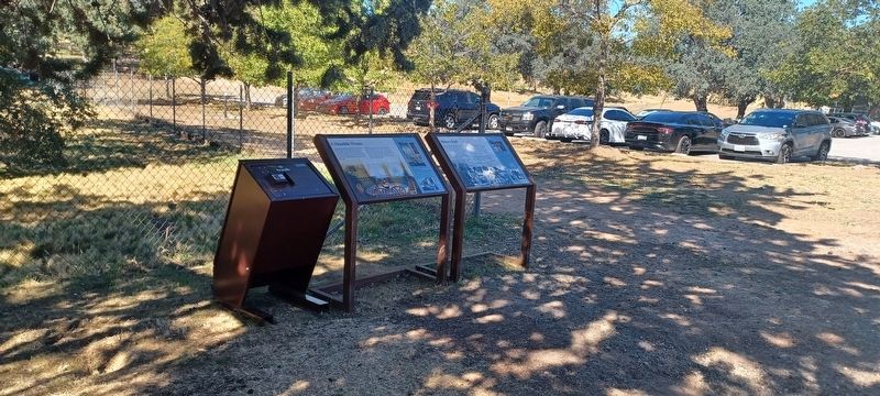
Walk along the chain link fence to take a closer look at Helen’s park and envision a social gathering taking place here. As a reminder, this property is closed to the public, please observe from the outside.
A Life of Legacy
this page online
Helen Chavez was a force of quiet strength, but she left a legacy that will echo for generations. Alongside her husband, Cesar, she devoted her life to organizing farmworkers in California and across America. She was an activist fighting for higher wages, better working conditions, and a brighter future – La Causa. Helen managed her union’s finances, prepared meals, marching in picket lines, and was even arrested for her actions, all because she believed in the dignity of American’s farmworkers – men and women she toiled with in the fields. While raising eight children, Helen helped lead a movement.
Erected by National Park Service - U.S Department of the Interior.
Topics. This historical marker is listed in these topic lists: Civil Rights • Hispanic Americans • Labor Unions • Women. A significant historical year for this entry is 1962.
Location. 35° 13.542′ N, 118° 33.545′ W. Marker is near Keene, California, in Kern County. It is on Woodford-Tehachapi Road half a mile east of Keene, on the left when traveling east. Touch for map. Marker is at or near this postal address: 29700 Woodford-Tehachapi Road, Keene
Photographed by Denise Boose, October 6, 2023
2. Helen's Park Marker

Regionally, this marker is in the San Joaquin Valley, specifically in the Central Valley, and in the Sierra Nevada. It is also on the American Pacific Coast. Globally, it is in North America, on the Ring of Fire, on the Pacific Rim, in the Western Hemisphere, in the Western World, and in the Anglosphere. Historically, it finds itself in what was once New Spain and also Mexico’s Alta California.
Other nearby markers. At least 8 other markers are within 5 miles of this marker, measured as the crow flies: A Humble Home (here, next to this marker); Cesar E. Chavez National Monument (about 700 feet away, measured in a direct line); The Great Flood of 1932 and Engine No. 3834 (approx. 1.8 miles away); The Cross at the Loop (approx. 2.2 miles away); Tehachapi Loop (approx. 2½ miles away); Tehachapi Pass Railroad Line (approx. 2½ miles away); Bear Valley Historic Schoolhouse (approx. 4.9 miles away); Bealville (approx. 5 miles away). Touch for a list and map of all markers in Keene.
Photographed by Denise Boose, October 6, 2023
3. Helen's Park Marker
Photographed by Denise Boose, October 6, 2023
4. Cesar Chavez Home & picnic tables
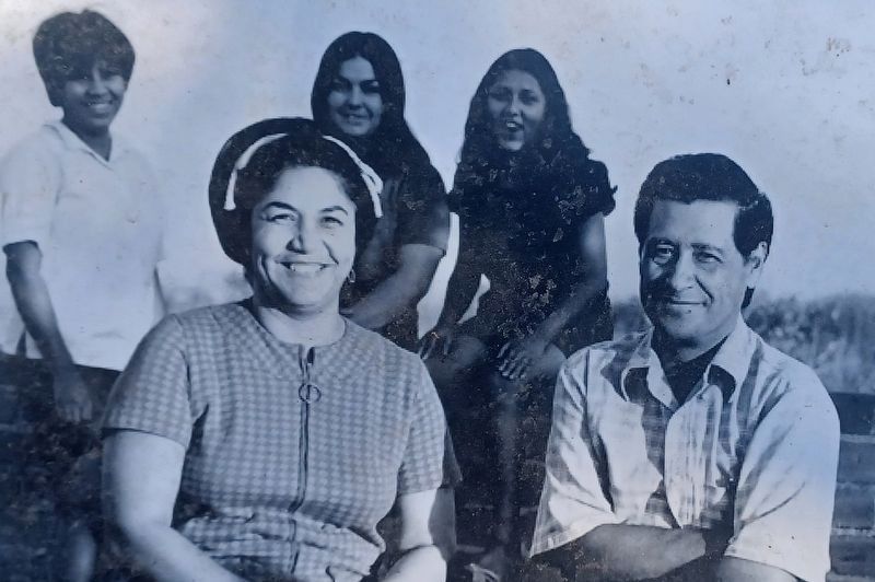
Walter P. Reuther Library, Archives of Labor and Urban Affairs, Wayne State University
5. Cesar and Helen with three of their children
Credits. This page was last revised on May 12, 2026. It was originally submitted on October 7, 2023, by Denise Boose of Tehachapi, California. This page has been viewed 363 times since then and 23 times this year. Photos: 1, 2, 3, 4, 5. submitted on October 7, 2023, by Denise Boose of Tehachapi, California. • Andrew Ruppenstein was the editor who published this page.
