Near Fairfield in Rockbridge County, Virginia — The American South (Mid-Atlantic)
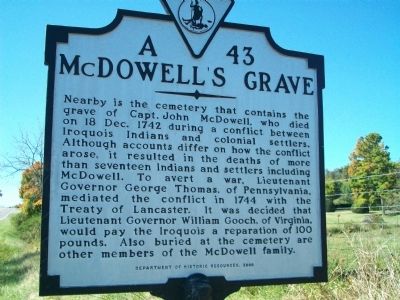
McDowell's Grave
Erected 2000 by Department of Historic Resources. (Marker Number A-43.)
Topics and series. This historical marker is listed in these topic lists: Cemeteries & Burial Sites • Colonial Era • Native Americans • Settlements & Settlers • Wars, US Indian. In addition, it is included in the Virginia Department of Historic Resources (DHR) series list. A significant historical date for this entry is December 18, 1742.
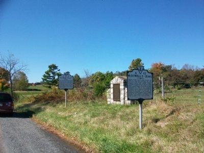
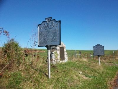
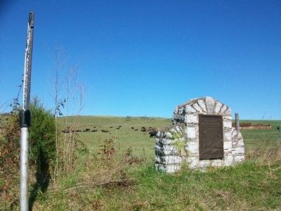
Location. 37° 52.067′ N, 79° 18.613′ W. Marker is near Fairfield, Virginia, in Rockbridge County. Marker is on North Lee Highway (U.S. 11), on the right when traveling south. Located at a crossover on Route 11 alongside the Red House and the McDowell Family (A-45) and the Dr. Ephraim McDowell markers. Touch for map. Marker is in this post office area: Fairfield VA 24435, United States of America. Touch for directions.
Other nearby markers. At least 8 other markers are within 4 miles of this marker, measured as the crow flies. Dr. Ephraim McDowell (here, next to this marker); Red House and the McDowell Family (here, next to this marker); Cherry Grove Estate (approx. ¾ mile away); Timber Ridge Church (approx. 3.1 miles away); Liberty Hall Academy (approx. 3.1 miles away); Church Hill (approx. 3.2 miles away); Birthplace of Sam Houston (approx. 3.2 miles away); a different marker also named Birthplace of Sam Houston (approx. 3.2 miles away). Touch for a list and map of all markers in Fairfield.
Credits. This page was last revised on June 16, 2016. It was originally submitted on October 28, 2009, by Kathy Walker of Stafford, Virginia. This page has been viewed 1,663 times since then and 86 times this year. Photos: 1, 2, 3, 4. submitted on October 28, 2009, by Kathy Walker of Stafford, Virginia. • Kevin W. was the editor who published this page.


