Near Flowery Branch in Hall County, Georgia — The American South (South Atlantic)
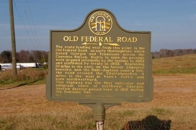
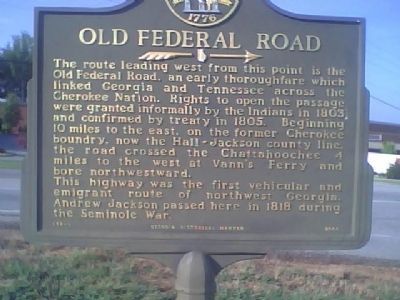
Old Federal Road
This highway was the first vehicular and emigrant route of northwest Georgia.
Andrew Jackson passed here in 1818 during the Seminole War.
Erected 2000 by Georgia Department of Natural Resources. (Marker Number 069-3.)
Topics and series. This historical marker is listed in these topic lists: Native Americans • Roads & Vehicles • War, US Revolutionary • Wars, US Indian • Waterways & Vessels. In addition, it is included in the Former U.S. Presidents: #07 Andrew Jackson, and the Georgia Historical Society series lists. A significant historical year for this entry is 1803.
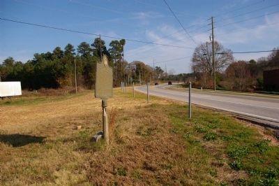
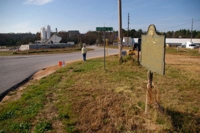
Location. 34° 11.803′ N, 83° 54.749′ W. Marker is near Flowery Branch, Georgia, in Hall County. Marker is at the intersection of Atlanta Highway (Georgia Route 13) and Radford Road on Atlanta Highway. Touch for map. Marker is in this post office area: Flowery Branch GA 30542, United States of America. Touch for directions.
Other nearby markers. At least 8 other markers are within 9 miles of this marker, measured as the crow flies. Gen. Andrew Jackson (approx. 1.1 miles away); Jackson at Young's Tavern (approx. 1.1 miles away); The Flowery Branch Depot (approx. 1.1 miles away); Historic Redwine (approx. 3.7 miles away); Two Georgia Governors (approx. 7.8 miles away); James Longstreet (approx. 8 miles away); The Historic Piedmont Hotel (approx. 8.3 miles away); Jesse Jewell (approx. 8.4 miles away). Touch for a list and map of all markers in Flowery Branch.
Credits. This page was last revised on January 25, 2021. It was originally submitted on July 29, 2009, by Stanley and Terrie Howard of Greer, South Carolina. This page has been viewed 1,486 times since then and 53 times this year. Last updated on November 21, 2009, by David Seibert of Sandy Springs, Georgia. Photos: 1. submitted on November 21, 2009, by David Seibert of Sandy Springs, Georgia. 2. submitted on July 29, 2009, by Stanley and Terrie Howard of Greer, South Carolina. 3, 4. submitted on November 21, 2009, by David Seibert of Sandy Springs, Georgia. • Kevin W. was the editor who published this page.


