Crisfield in Somerset County, Maryland — The American Northeast (Mid-Atlantic)
Beach to Bay Indian Trail
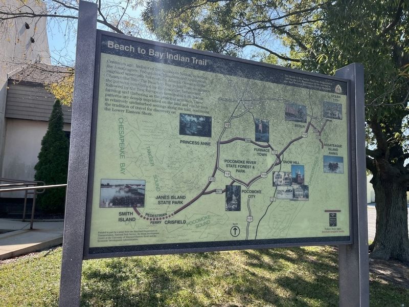
Centuries ago, Indians of the Algonquin Nation, including the Assateagues, Pocomoke, Manokins and Acquinticas, migrated seasonally between the Atlantic Ocean and the Chesapeake Bay. The Beach to Bay Indian Trail recognizes the patterns established by the American Indians and followed by the first European immigrants with fishing, farming and timbering as the principal activities. These patterns and timbering as the principal activities. These patterns are deeply imprinted on the land and can be seen in relatively undisturbed settings along the trail, continuing the tradition of travel for discovery on the Lower Eastern Shore.
[Sidebar:]
The Beach to Bay Indian Trial was designated in 1993 by the U.S. Department of the Interior, the first National Recreation Trail in Maryland.
Erected by Maryland Heritage Areas Authority.
Topics. This historical marker is listed in these topic lists: Colonial Era • Indigenous Peoples and Communities • Parks & Recreational Areas • Roads & Vehicles. A significant historical year for this entry is 1993.
Location. 37° 58.703′ N, 75° 51.583′ W. Marker is in Crisfield,
this page online

Regionally, this marker is on the Eastern Shore. It is also in the American Mid-Atlantic, on the Delmarva Peninsula, in the Tidewater, in the Chesapeake Bay Region, and on the Eastern Seaboard. Globally, it is in the North Atlantic Region, North America, the Western Hemisphere, the Western World, and the Anglosphere. Historically, it finds itself in what was once one of the original Thirteen Colonies and also the Antebellum South.
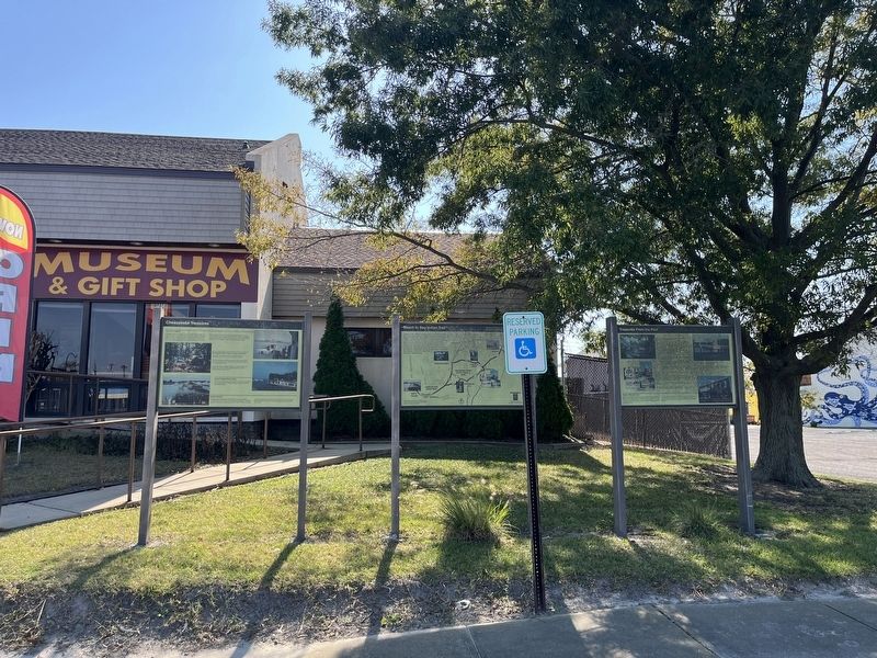
Other nearby markers. At least 8 other markers are within walking distance of this marker: Chesapeake Treasures (here, next to this marker); Treasures From The Past (here, next to this marker); Watermen of the Tangier Sound (within shouting distance of this marker); Drop Tongs (within shouting distance of this marker); Oyster Dredges (within shouting distance of this marker); Skipjacks and Bugeyes (within shouting distance
Credits. This page was last revised on October 13, 2024. It was originally submitted on October 13, 2024, by Devry Becker Jones of Washington, District of Columbia. This page has been viewed 202 times since then and 17 times this year. Photos: 1, 2. submitted on October 13, 2024, by Devry Becker Jones of Washington, District of Columbia.
