Oregon Hill in Richmond, Virginia — The American South (Mid-Atlantic)
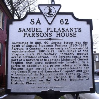
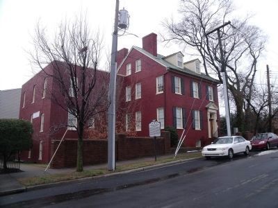
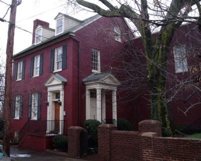
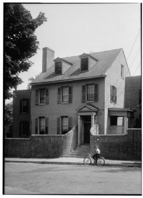
Samuel Pleasants Parsons House
Erected 2003 by Department of Historic Resources. (Marker Number SA-62.)
Topics and series. This historical marker is listed in these topic lists: Abolition & Underground RR • Charity & Public Work • Churches & Religion • Law Enforcement • Roads & Vehicles • Settlements & Settlers. In addition, it is included in the Quakerism, and the Virginia Department of Historic Resources (DHR) series lists. A significant historical year for this entry is 1819.
Location. 37° 32.344′ N, 77° 26.978′ W. Marker is in Richmond, Virginia. It is in Oregon Hill. Marker is at the intersection of Spring Street and South Belvidere Street (U.S. 1), on the left when traveling west on Spring Street. Touch for map. Marker is at or near this postal address: 601 Spring Street, Richmond VA 23220, United States of America. Touch for directions.
Other nearby markers. At least 8 other markers are within walking distance of this marker. Virginia State Penitentiary (within shouting distance of this marker); Virginia War Memorial (approx. 0.2 miles away); John Miller House (approx. 0.2 miles away); Imperial Airlines Flight 201/8 (approx. 0.2 miles away); Grace Evelyn Arents (approx. ¼ mile away); The Canal and the Civil War (approx. ¼ mile away); Rail Lines at Tredegar (approx. ¼ mile away); Worker Housing (approx. ¼ mile away). Touch for a list and map of all markers in Richmond.
Additional commentary.
1. Marker replaced after being destroyed years ago.
This historic highway marker was destroyed in a vehicle accident a few years ago and has been replaced this week, courtesy of the Oregon Hill Home Improvement Council.
— Submitted August 23, 2018, by Mark Hilton of Montgomery, Alabama.
Credits. This page was last revised on February 1, 2023. It was originally submitted on December 28, 2009, by Bernard Fisher of Richmond, Virginia. This page has been viewed 1,547 times since then and 40 times this year. Photos: 1, 2, 3, 4. submitted on December 28, 2009, by Bernard Fisher of Richmond, Virginia.


