Danville, Virginia — The American South (Mid-Atlantic)
Human Use of the Dan River
Life on the Dan River
Photographed by C. Ryan Dodson, November 30, 2024
1. Life on the Dan River Marker
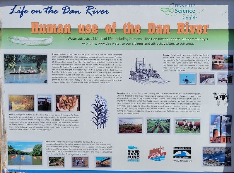
Water attracts all kinds of life, including humans. The Dan River supports our community's economy, provides water to our citizens and attracts visitors to our area.
Transportation - In the 1700s and early 1800s roads in this area were little more than enlarged foot trails, often impassable because of mud, ice or snow. The Dan River, however, was easily navigated and proved to be a more dependable mode of transporting goods from the "frontier" to the Atlantic. Recognizing the economic importance of the Dan, and its flow to the Albemarle Sound, was the Roanoke Navigation Company and in the 1830s it completed a system of canals and locks that brought manufactured goods from Europe and the East Coast to Danville. A flat bottom boat, called a bateaux, was pulled along with the current downstream or pulled by human labor along tow paths up river bringing pig iron, timber and tobacco from this area to the coast. A bateaux could carry six tons of goods to its destination. Today, we have cars, trains, airplanes and trucks that ship and deliver most of the manufactured goods in our community.
Energy - Early industry was
this page online
Food - Throughout history, the Dan River has served as a rich resource for food. Food webs are closely linked to the river and the plants, micro-flora and fauna and animals that flourish there. During the 1700s and 1800s, fish and freshwater crustaceans attracted early settlers. Today, fishing on the Dan River is still enjoyed by many people. Unfortunately today, problems with chemical contamination from early industry, lack of riparian buffer, modern day industry and agricultural use limit its use as a food supply source.
Agriculture - Since man first started farming, the Dan River has served as a source for irrigation. Often re-directed to the fields with pumps or drainage ditches, the river's water provides crops with needed moisture during summer droughts. Today, farms along the Dan River still use it to irrigate their fields and
Photographed by C. Ryan Dodson, November 27, 2024
2. Life on the Dan River Marker
Recreation - People have always visited the Dan River for a variety of recreational activities. Canoeists, kayakers, paddleboarders, and boaters enjoy the fast current and quiet pools. Photographers can capture wildflowers, wildlife and memorable sunsets on film. Anglers can enjoy fishing both on the river and on the banks. Today, Danville has river accesses, parks and miles of trails at that meander along the Dan River for people to enjoy.
Erected by City of Danville, Dan River Basin Association, and Danville Science Center.
Topics. This historical marker is listed in these topic lists: Agriculture • Environment • Parks & Recreational Areas

Photographed by C. Ryan Dodson, November 30, 2024
3. Life on the Dan River Marker
Located behind Bark Park
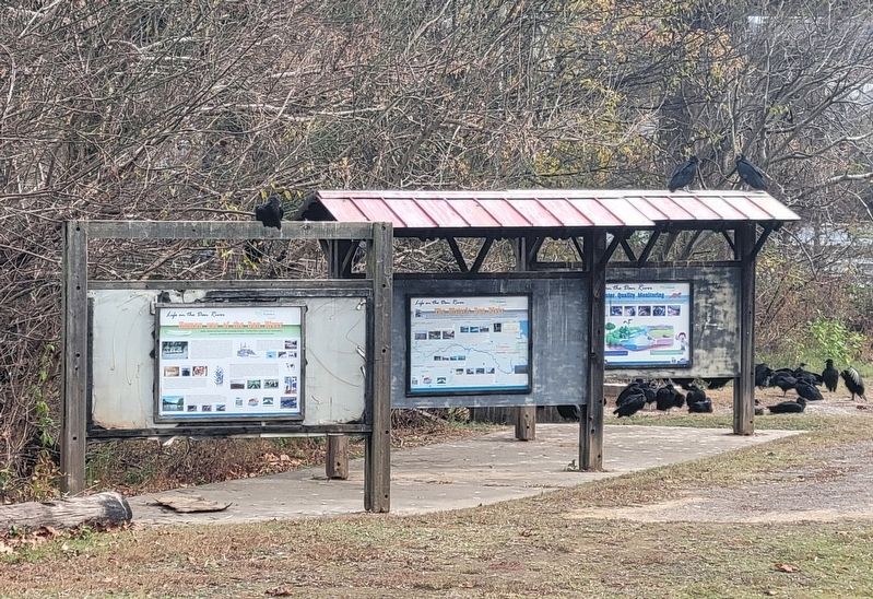
Location. 36° 35.158′ N, 79° 22.973′ W. Marker is in Danville, Virginia. It can be reached from Colquhoun Street north of Bridge Street, on the right when traveling north. The Marker is located along the Riverwalk Trail near the Crossing at the Dan trailhead, behind the Carrington Pavillion and Bark Park. Touch for map. Marker is at or near this postal address: 629 Craghead Street, Danville VA 24541, United States of America. Touch for directions.

Regionally, this marker is in Southside Virginia and specifically in Central Virginia. It is also in the American South and specifically in the Upper South. Globally, it is in North America, the Western Hemisphere, the Western World, and the Anglosphere. Historically, it finds itself in what was once the territory of the Mississippian Culture, one of the original Thirteen Colonies, one of the Confederate States of America, and the Antebellum South.
Other nearby markers. At least 8 other markers are within walking distance of this marker: The Historic Dan River (here, next to this marker); Richmond & Danville Railroad
Photographed by C. Ryan Dodson, November 30, 2024
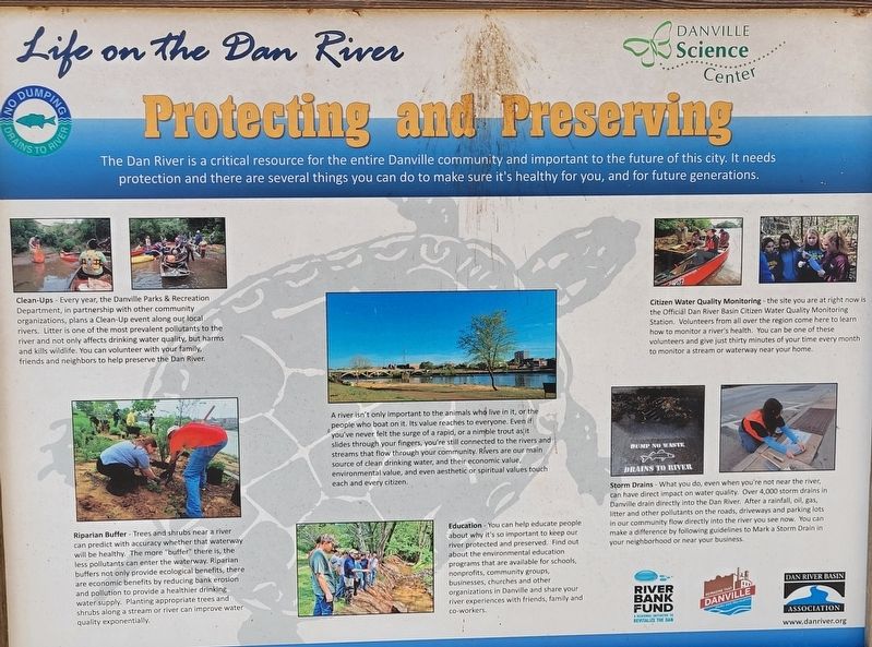
4. Protecting and Preserving Sign
Located adjacent to the Marker
Another marker is no longer nearby. Railroad History Preserved (was within shouting distance of this marker but has been replaced with another marker now near it).
Photographed by C. Ryan Dodson, November 30, 2024
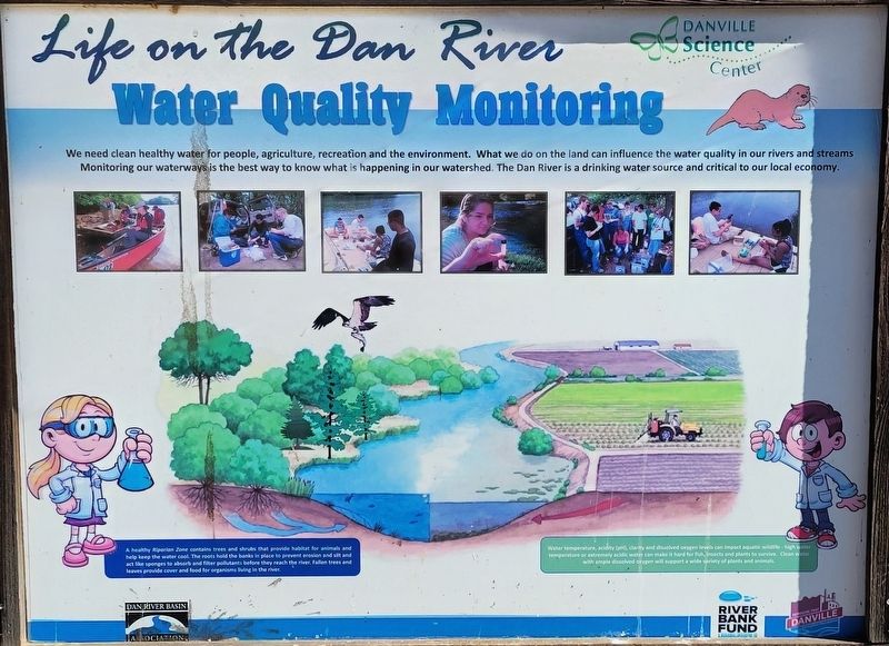
5. Water Quality Monitoring Sign
Located adjacent to the Marker
Photographed by C. Ryan Dodson, November 27, 2024
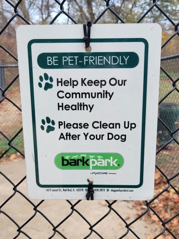
6. Bark Park sign
Located near the Marker.
Credits. This page was last revised on January 11, 2025. It was originally submitted on January 11, 2025, by C. Ryan Dodson of Danville, Virginia. This page has been viewed 243 times since then and 51 times this year. Photos: 1, 2, 3, 4, 5, 6. submitted on January 11, 2025, by C. Ryan Dodson of Danville, Virginia. • Bernard Fisher was the editor who published this page.
