Alamogordo in Otero County, New Mexico — The American Mountains (Southwest)
Dog Canyon
(Cañon Del Perro)
Photographed by Maribeth Robison, March 30, 2013
1. Dog Canyon Marker
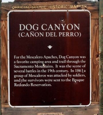
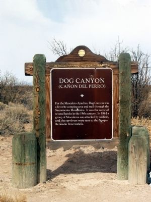
For the Mescalero Apache, Dog Canyon was a favorite camping area and trail through the Sacramento Mountains. It was the scene of several battles in the 19th century. In 1863 a group of Mescaleros was attacked by soldiers, and the survivors were sent to the Bosque Redondo Reservation.
Erected by New Mexico Historic Preservation Division.
Topics. This historical marker is listed in these topic lists: Anthropology & Archaeology • Indigenous Peoples and Communities • War, US Civil • Wars, US Indian. A significant historical year for this entry is 1863.
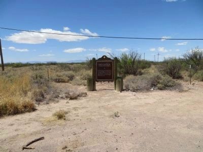
Location. 32° 44.566′ N, 105° 59.301′ W. Marker is in Alamogordo, New Mexico, in Otero County. It is at the intersection of State Road 54 and Dog Canyon Road, on the right when traveling south on State Road 54. Touch for map. Marker is in this post office area: Alamogordo NM 88310, United States of America. Touch for directions.

Regionally, this marker is in New Mexico’s Pecos Valley. It is also in the American Borderlands and in the Southwest. Globally, it is in North America, the Western Hemisphere, the Western World, and the Anglosphere.
this page online
Other nearby markers. At least 8 other markers are within 11 miles of this marker, measured as the crow flies: Calvin Boles (approx. 4.1 miles away); Commission for the Blind Orientation Center (approx. 10.6 miles away); Buffalo Soldier (approx. 11 miles away); Roadrunner Emporium (approx. 11 miles away); a different marker also named Roadrunner Emporium (approx. 11 miles away); Concrete Telephone Booth (approx. 11 miles away); Alamogordo Airborne Monument (approx. 11 miles away); To All Veterans (approx. 11 miles away). Touch for a list and map of all markers in Alamogordo.
Photographed by Bill Kirchner, April 27, 2014
2. Dog Canyon Marker
Photographed by Maribeth Robison, March 30, 2013
3. Dog Canyon Marker
Photographed by Bill Kirchner, April 27, 2014
4. Rear of Dog Canyon Marker
Photographed by Bill Kirchner, April 27, 2014
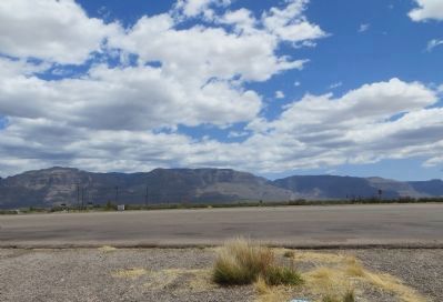
5. Sacramento Mountains
View east from marker location.
Credits. This page was last revised on March 11, 2026. It was originally submitted on April 1, 2014, by Maribeth Robison of Moriarty, New Mexico. This page has been viewed 2,076 times since then and 109 times this year. Last updated on July 30, 2025, by Bill Wingate of Albuquerque, New Mexico. Photos: 1. submitted on April 14, 2014, by Maribeth Robison of Moriarty, New Mexico. 2. submitted on May 4, 2014, by Bill Kirchner of Tucson, Arizona. 3. submitted on April 1, 2014, by Maribeth Robison of Moriarty, New Mexico. 4, 5. submitted on May 4, 2014, by Bill Kirchner of Tucson, Arizona. • Devry Becker Jones was the editor who published this page.
