Near Guntersville in Marshall County, Alabama — The American South (East South Central)
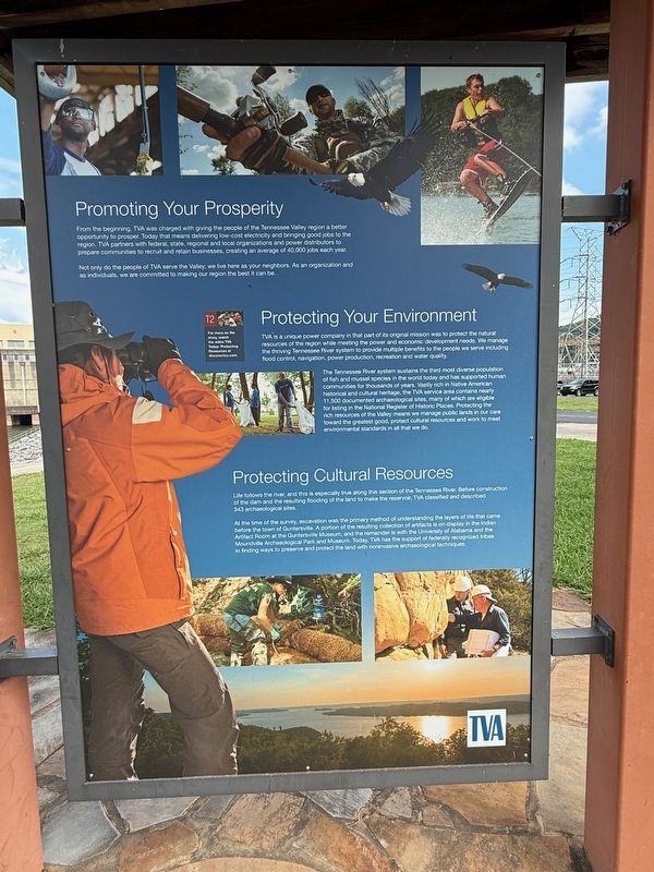
Promoting Your Prosperity
Photographed by Deborah Spencer, August 2, 2025
1. Promoting Your Prosperity Marker
Not only do the people of TVA serve the Valley, we live here as your neighbors. As an organization and as individuals, we are committed to making our region the best it can be.
The Tennessee River system sustains the the most diverse population of fish and mussel species in the world today and has supported
this page online
At the time of the survey, excavation was the primary method of understanding the layers of life that came before the town of Guntersville. A portion of the resulting collection of artifacts is on display in the Indian Artifact Room at the Guntersville Museum, and the remainder is with the University of Alabama and the Moundville Archaeological Park and Museum. Today TVA has the support of
Photographed by Deborah Spencer, August 2, 2025
2. Promoting Your Prosperity Marker
Erected by Tennessee Valley Authority.
Topics. This historical marker is listed in these topic lists: Anthropology & Archaeology • Environment • Indigenous Peoples and Communities • Waterways & Vessels.
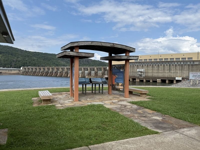
Location. 34° 25.356′ N, 86° 23.706′ W. Marker is near Guntersville, Alabama, in Marshall County. It is on Snow Point Road north of Jackson Rd, on the right when traveling north. It is on Snow Point Road north of Jackson Rd, on the right when traveling north. Located inside the Kiosk next to the Guntersville Dam Range Station where Snow Point Road turns west to follow the river. Touch for map. Marker is at or near this postal address: 3464 Co Rd 50, Guntersville AL 35976, United States of America. Touch for directions.

Regionally, this marker is in North Alabama. It is also in the American South, specifically in the Deep South, in Appalachia, and specifically in Southern Appalachia. Globally, it is in North America, a Gulf of Mexico state, the Western Hemisphere, the Western World, and the Anglosphere. Historically, it finds itself in what was once the original Cherokee Nation, the territory of the Mississippian Culture, one of the Confederate States of America, and the Antebellum South.
Other nearby markers. At least 8 other markers are within 5 miles of this marker, measured as the crow flies: How the Dam Works (here, next to this marker); Rolling Goods Down the River (here, next to this marker); TVA Goes to War (here, next to this marker); A Mission of Service (here, next to this marker); A Valley of Hardships (here, next to this marker); Guntersville Dam (a few steps from this marker); a different marker also named Guntersville Dam (approx. 0.4 miles away); Gen. Andrew Jackson's Fort Deposit (approx. 4.8 miles away). Touch for a list and map of all markers in Guntersville.
Credits. This page was last revised on August 10, 2025. It was originally submitted on August 8, 2025, by Deborah Spencer of Huntsville, Alabama. This page has been viewed 116 times since then and 23 times this year. Photos: 1, 2. submitted on August 8, 2025, by Deborah Spencer of Huntsville, Alabama. • James Hulse was the editor who published this page.
