Bird Creek in Anchorage, Alaska — Northwest (North America)
Traveling Tikahtu
Traveling the Cook Inlet
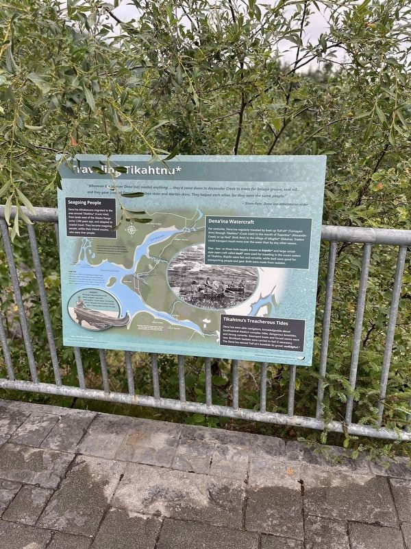
Photographed by Thomas Smith, August 8, 2025
1. *Traveling Tikahtn* Marker
“Whenever the [upriver Dena'ina<] needed anything,... they come down to Alexander Creek to trade for beluga grease, seal oil...and they gave [coastal Dena'ina] caribou skins and marten skins. They helped each other, for the were the same people.”
Seagoing People
Dena'ina Athabascans migrated to the area around Tikahtnu* (Cook Inlet) from lands west of the Alaska Range some 1,500 years ago, and adapted to coastal travel. They became seagoing people, unlike their inland cousins who were river people.
Cook Inlet
in the hunt for a trade route connecting the North Pacific and Europe, Captain James Cook’s crew explored the two arms of what now called Cook Inlet. At the end of Tutl'uh,* the explorers were forced to turn again, unsuccessful. The name Tyrnagain Arm is a reminder of Cook’s quest.
Biqidin*
The double upturn prow on Dena'ina biqidin was called k el k 'itughil u* which means into the bay with it. This prow was so called to ensure luck in hunting when turning into a bay.
Dena'lina Watercraft
For centuries, Dena'ina regularly traveled by boat up TuTl'uh* (Turnagain Arm) through Tikahtu (Cook Inlet)
this page online
One-, two- or three hole kayaks known asbiqidin* and large umiak- style open craft called badi* were used for traveling in the ocean waters of Tikahnu. Biqidin were fast and versatile, while badi were good for transporting people and gear. Both were made from sealskin.
Tikahtnu's Treacherous Tides
Dena'ina were able navigators, knowledgeable about Southcentral Alaska's complex tides, dangerous boretides and strong currents. Swamped boats and forced swims were rare. Birchbark baskets were carried to bail if necessary. The Dena'ina named Tutl'uh's boretide its growl: nudidghul.* *Upper Cook Inlet Denaína dialect
Erected by Created by Alaska State Parks Interpretation and Education Unit.
Topics. This historical marker is listed in these topic lists: Indigenous Peoples and Communities • Natural Features • Parks & Recreational Areas • Waterways & Vessels.
Location. 60° 58.399′ N, 149° 27.71′ W. Marker is in Anchorage, Alaska. It is in Bird Creek.
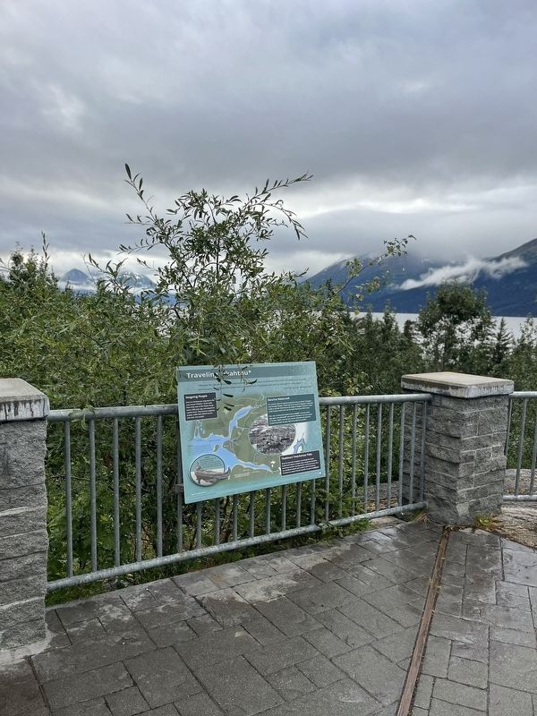
Photographed by Thomas Smith, August 8, 2025
2. Traveling Tikahtn* Marker

Regionally, this marker is in the Alaska Railroad Corridor, in the Athabascan Region, in the Prince William Sound, and in Southcentral Alaska. It is also on the American Pacific Coast. Globally, it is in North America, on the Ring of Fire, on the Pacific Rim, in the Western Hemisphere, in the Western World, and in the Anglosphere. Historically, it finds itself in what was once the Russian Empire.
Other nearby markers. At least one other marker is within 14 miles of this marker, measured as the crow flies: Gold Discoveries Trigger Stampede (approx. 13.4 miles away).
Credits. This page was last revised on October 18, 2025. It was originally submitted on August 30, 2025, by Thomas Smith of Waterloo, Ill. This page has been viewed 96 times since then and 48 times this year. Photos: 1, 2. submitted on August 30, 2025, by Thomas Smith of Waterloo, Ill. • Devry Becker Jones was the editor who published this page.
