Skagway in Skagway Borough, Alaska — Northwest (North America)
Pitch Fork Falls
| — | White Pass & Yukon Route | — |
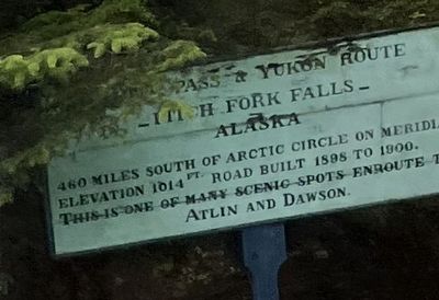
Photographed by Thomas Smith, August 11, 2025
1. Pitch Fork Falls Marker
Topics. This historical marker is listed in these topic lists: Environment • Natural Features • Roads & Vehicles • Waterways & Vessels. A significant historical year for this entry is 1898.
Location. 59° 28.997′ N, 135° 17.015′ W. Marker is in Skagway, Alaska, in Skagway Borough. It is on Klondike Highway (State Highway 98) south of Liarsville Road, on the right when traveling north. Touch for map. Marker is at or near this postal address: 100 Liarsville Rd, Skagway AK 99840, United States of America. Touch for directions.

Regionally, this marker is on the American Pacific Coast. Globally, it is in North America, on the Ring of Fire, on the Pacific Rim, in the Western Hemisphere, in the Western World, and in the Anglosphere. Historically, it finds itself in what was once the Russian Empire.
Other nearby markers. At least 8 other markers are within 3 miles of this marker, measured as the crow flies: Asaayíx' Kudziteey Haa Léelk'u Hás Aaní (approx.
this page online
Another marker is no longer nearby. Skagway Remembers (was approx. 2.1 miles away but has been permanently removed).
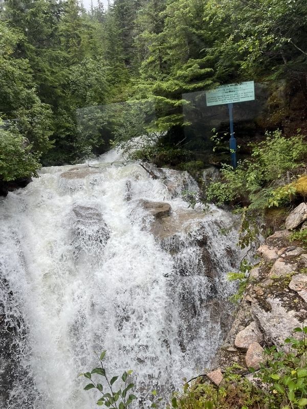
Photographed by Thomas Smith, August 11, 2025
2. Pitch Fork Falls Marker
Credits. This page was last revised on September 18, 2026. It was originally submitted on August 30, 2025, by Thomas Smith of Waterloo, Ill. This page has been viewed 60 times since then and 23 times this year. Photos: 1, 2. submitted on August 30, 2025, by Thomas Smith of Waterloo, Ill. • Devry Becker Jones was the editor who published this page.
