Idleyld Park in Clearwater in Douglas County, Oregon — The American West (Northwest)
Toketee Falls
Photographed by Douglass Halvorsen, September 14, 2024
1. Toketee Falls Marker
[Marker one]
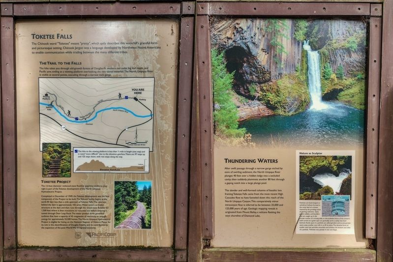
The Chinook word "Toketee" means "pretty", which aptly describes this waterfall's graceful form and picturesque setting. Chinook Jargon was a language developed by Northwest Native Americans to enable communication while trading between the many different tribes.
The Trail to the Falls
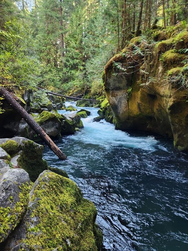
The hike takes you through old-growth forests of Douglas-fir, western red cedar, big leaf maple, and Pacific yew, ending at a viewing platform overlooking the two-tiered waterfall. The North Umpqua River is visible at several points, cascading through a narrow rock gorge.
[inset]The hike to the viewing platform is less than ½ mile in length (one way) and is rated “more difficult” due to the elevation gain/loss. There are 97 steps up and 125 steps down, with rest stops along the way.
Toketee Project
The 12-foot diameter redwood-stave flowline (pipeline) visible to your right is part of the Toketee development of North Umpqua Hydroelectric Project.
Completed in December of 1949, the Toketee development was the first component of the Project to be built. The Toketee facility begins at the earth-fill dam less than
this page online
[Marker two]
Thundering Waters
After swift passage through a narrow gorge etched by eons of swirling sediment, the North Umpqua River plunges 40 feet over a hidden ledge into a secluded cavity; then suddenly plummets another 80 feet through a gaping notch into a large plunge pool.
The slender and well-formed columns of basaltic lava framing Toketee Falls came from the most recent High Cascades flow to have funneled down this reach of the North Umpqua Canyon. This
Photographed by Douglass Halvorsen, September 14, 2024
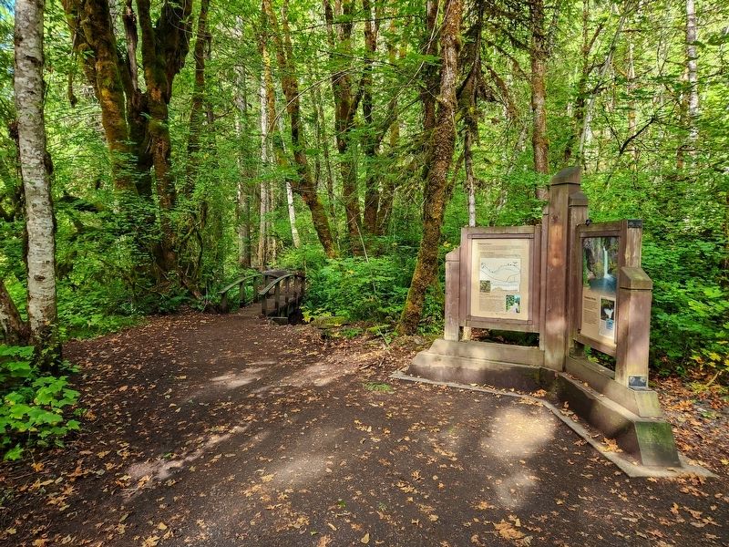
2. Toketee Falls Marker
[inset]Nature as Sculptor
Potholes are bowl-shaped or cylindrical hollows formed in the rocky bed of a stream channel by the grinding action of swirling sediment. Sand, gravel, cobbles, and boulders that are caught up in the circular motion of a strong eddy or the turbulent force of the stream’s swift current at a given spot can gradually carve a cavity into hard bedrock. Rocks spun in a pothole are called grinders and as one grinder wears away another one rolls in to fill its place. The abrasive force of smaller sand size particles smoothes and polishes the bottom and sides of a pothole. Potholes vary greatly in size and shape.
Erected by US Forest Service, PacifiCorp.
Topics. This historical marker is listed in these topic lists: Indigenous Peoples and Communities • Industry & Commerce • Natural Features • Parks & Recreational Areas • Waterways & Vessels. A significant historical year for this entry is 1949.
Location. 43° 15.844′ N,
Photographed by Douglass Halvorsen, September 14, 2024
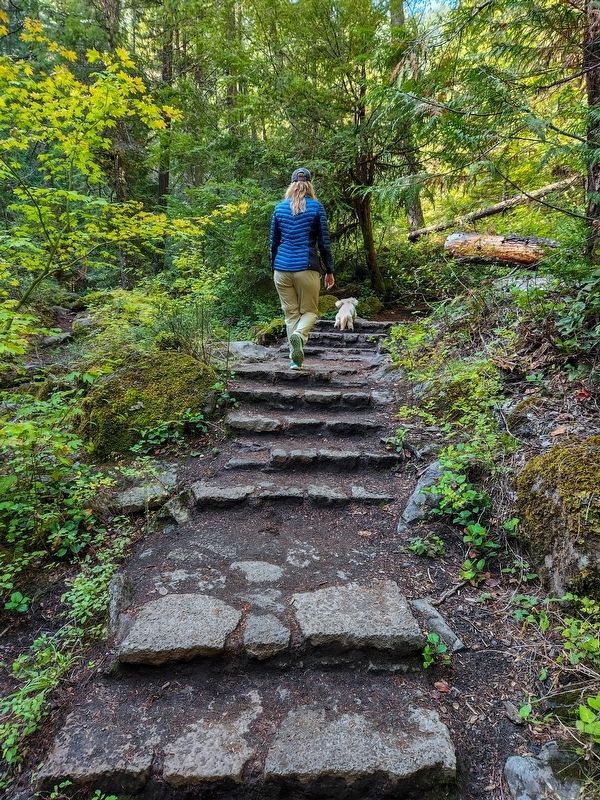
3. Toketee Falls Trail
Trail path with stone steps as mentioned in the marker description.

Regionally, this marker is in Southern Oregon. It is also on the American Pacific Coast, in the Pacific Northwest, and in the Lewis & Clark Corridor. Globally, it is in North America, in the Cascade Range, on the Ring of Fire, on the Pacific Rim, in the Western Hemisphere, in the Western World, and in the Anglosphere.
Photographed by Douglass Halvorsen, September 14, 2024
4. North Umpqua River gorge
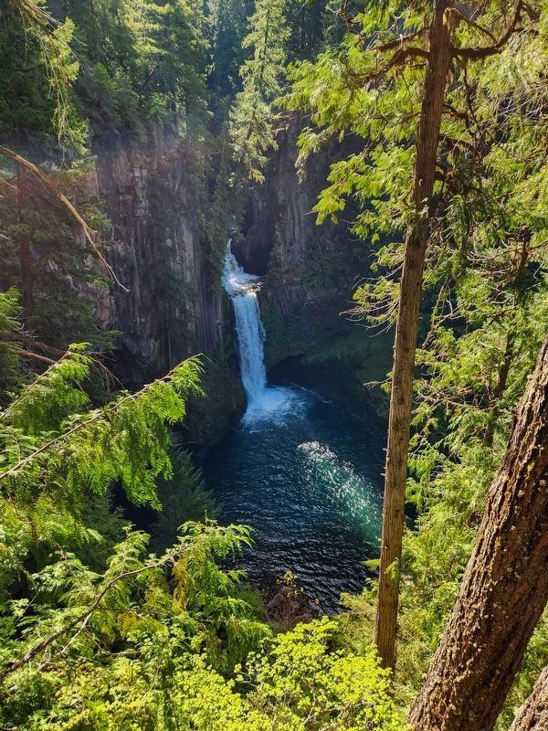
Photographed by Douglass Halvorsen, September 14, 2024
5. Toketee Falls
View of the falls from the viewing platform above.
Credits. This page was last revised on October 8, 2025. It was originally submitted on October 6, 2025, by Douglass Halvorsen of Klamath Falls, Oregon. This page has been viewed 108 times since then and 79 times this year. Photos: 1, 2, 3, 4, 5. submitted on October 6, 2025, by Douglass Halvorsen of Klamath Falls, Oregon. • Andrew Ruppenstein was the editor who published this page.
