
Near Hopewell in Prince George County, Virginia — The American South (Mid-Atlantic)
James River National WildLife Refuge
Captain John Smith’s Adventures on the James
| — | www.johnsmithtrail.org | — |

Photographed by Bernard Fisher, January 23, 2026
1. James River National WildLife Refuge Marker
Atlantic Ocean tides push salt water into the Chesapeake Bay, where it mingles with fresh water from the bay's tributary rivers, including the James.
Many of the plants and animals that thrive in the Chesapeake are highly adapted to its estuarine waters. Among these are anadromous fish like sturgeon, shad and striped bass. They spend most of their lives at sea but migrate up rivers to lay eggs amid reeds and underwater grasses.
Indians living along the James relied on the summer abundance of anadromous fish, spearing them or catching them in nets. The English colonists followed suit. The bony plates, or scutes, that cover sturgeon have been found at Jamestown by the thousands.
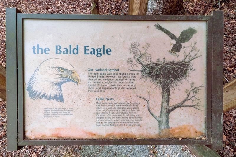
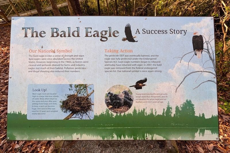
Eagles, too, have made the James a summer fishing ground for centuries. The once-endangered birds now enjoy special protection along the river bluffs of the refuge. From the water, you may spot these majestic creatures nesting, roosting, or scouting for fish.
(sidebar)
Not To Be Caught With Frying Pans
In his 1624 Generall Historie of Virginia, New England and the Summer Isles, John Smith described sailing through a vast school of
this page online
(captions)
Capt. John Smith’s Trail
John Smith knew the James River by its Algonquian name: Powhatan, the same as the region’s paramount chief. Smith traveled the river many times between 1607 and 1609, trading with Virginia Indians to ensure survival at Jamestown. What he saw of Virginia’s verdant woodlands and pristine waters inspired him to explore the greater Chesapeake Bay, chronicling its natural wonders.
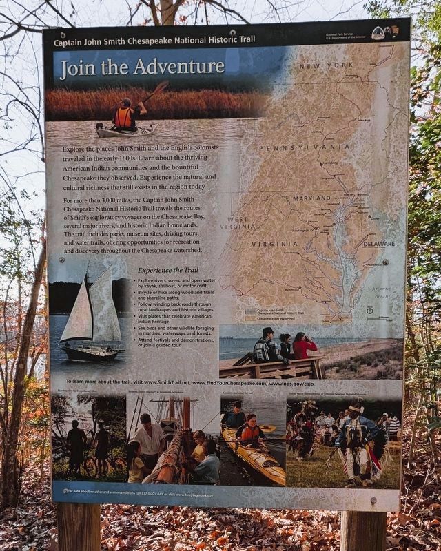
Capt. John Smith’s Trail on the James is a 40-site water trail and auto tour for modern explorers.
“The New World” © MMV, New Line Productions, Inc. All rights reserved. Photo by Merie Wallace. Photo appears courtesy of New Line Productions, Inc.
Erected by Captain John Smith's Trail. (Marker Number 19.)
Topics. This historical marker is listed in these topic lists: Colonial Era • Environment •

Photographed by Bernard Fisher, January 23, 2026
2. Powell Creek Nature Trail
Location. 37° 15.62′ N, 77° 8.57′ W. Marker is near Hopewell, Virginia, in Prince George County. It can be reached from Flowerdew Hundred Road 1.1 miles north of James River Drive (Route 10), on the left when traveling north. Located at the Powell Creek Nature Trail parking lot. Touch for map. Marker is in this post office area: Hopewell VA 23860, United States of America. Touch for directions.

Regionally, this marker is in Coastal Virginia. It is also in the American South, specifically in the Upper South, in the Tidewater, and on the Eastern Seaboard. Globally, it is in the North Atlantic Region, North America, the Western Hemisphere, the Western World, and the Anglosphere. Historically, it finds itself in what was once the territory of the Mississippian Culture, one of the original Thirteen Colonies, one of the Confederate States of America, and the Antebellum South.
Other nearby markers. At least 8 other markers are within 4 miles of this marker, measured as
Photographed by Bernard Fisher, January 23, 2026
3. Join the Adventure
Photographed by Bernard Fisher, January 23, 2026
4. Floating Dock Path
Photographed by Bernard Fisher, January 23, 2026
5. the Bald Eagle
Photographed by Bernard Fisher, January 23, 2026
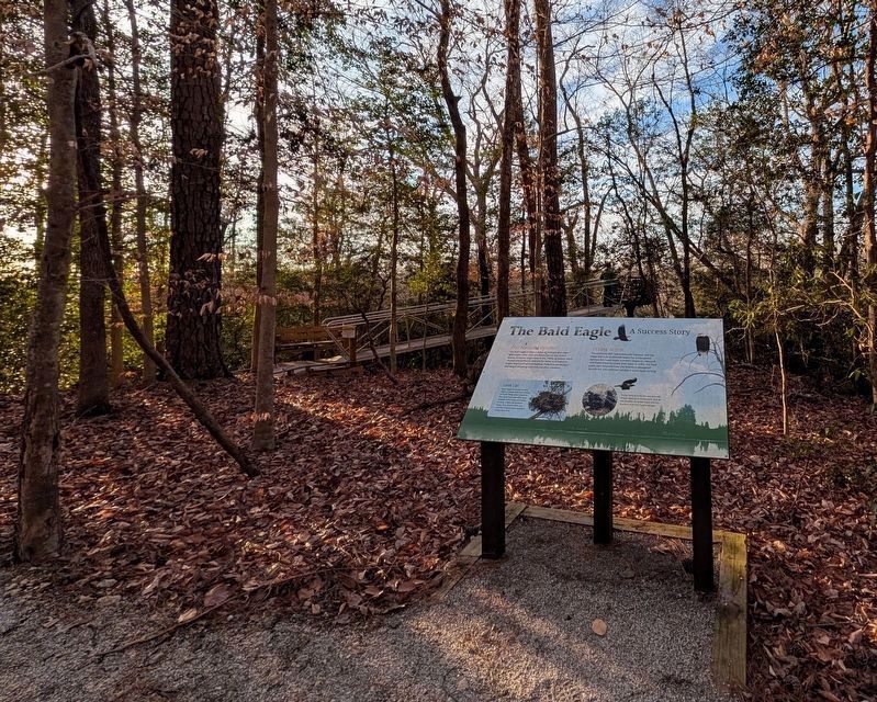
6. The Bald Eagle
Photographed by Bernard Fisher, January 23, 2026
7. Observation Deck
Credits. This page was last revised on January 24, 2026. It was originally submitted on January 24, 2026, by Bernard Fisher of Richmond, Virginia. This page has been viewed 40 times since then. Photos: 1, 2, 3, 4, 5, 6, 7. submitted on January 24, 2026, by Bernard Fisher of Richmond, Virginia.
