
Near Williamsburg in James City County, Virginia — The American South (Mid-Atlantic)
Bacon's Rebellion
| — | Greensprings Interpretive Trail | — |
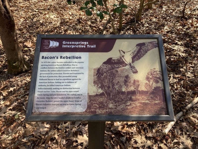
Photographed by Evan Dwyer, February 14, 2026
1. Bacon's Rebellion Marker
In 1676 the colony became embroiled in the popular uprising known as Bacon's Rebellion. Due to conflicts between the frontier settlers and American Indians, the settlers asked Governor Berkeley's government for protection. Fearful and frustrated by the lack of protection, they persuaded young Nathaniel Bacon to lead an expedition against the American Indians. Setting out in defiance of authority, he killed American Indians indiscriminately, making no distinction between friend and foe. Later, Bacon and his men seized Green Spring and put Jamestown, the capital city, to the torch. After the rebel leader's death in October, Governor Berkeley gained the upper hand. Some of Bacon's followers were put on rial at Green Spring and hanged.
Erected by James City County Parks & Recreation.
Topics. This historical marker is listed in these topic lists: Colonial Era • Indigenous Peoples and Communities • Settlements & Settlers • Wars, US Indian. A significant historical year for this entry is 1676.
Location. 37° 14.745′ N, 76° 47.473′ W. Marker is near Williamsburg, Virginia, in James City County. It can be reached
this page online

Regionally, this marker is on Virginia’s Peninsula, in Coastal Virginia, and in the Hampton Roads Metropolitan Area. It is also in the American South, specifically in the Upper South, and in the Tidewater. Globally, it is in the North Atlantic Region, North America, the Western Hemisphere, the Western World, and the Anglosphere. Historically, it finds itself in what was once the territory of the Mississippian Culture, one of the original Thirteen Colonies, one of the Confederate States of America, and the Antebellum South.
Other nearby markers. At least 8 other markers are within walking distance of this marker: Governor's Land (about

Photographed by Evan Dwyer, February 14, 2026
2. Bacon's Rebellion Marker
The Virginia Capital Trail is visible just to the right.
Another marker is no longer nearby. Bacon's Rebellion (was here, next to this marker but has been permanently removed).
Related marker. Click here for another marker that is related to this marker. It preceded this marker in the same location.
Credits. This page was last revised on March 13, 2026. It was originally submitted on March 13, 2026, by Evan Dwyer of Richmond, Virginia. This page has been viewed 17 times since then. Photos: 1, 2. submitted on March 13, 2026, by Evan Dwyer of Richmond, Virginia. • Devry Becker Jones was the editor who published this page.
