Yorktown in York County, Virginia — The American South (Mid-Atlantic)
Tobacco Road
Historic Yorktown
| — | Colonial National Historical Park | — |
Photographed by David Graff, September 20, 2014
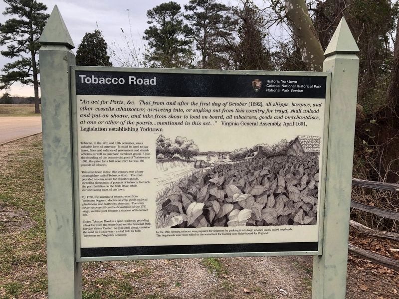
1. Tobacco Road Marker
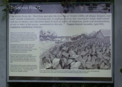
"An act for Ports, &c. That from and after the first day of October (1692), all shipps, barques, and other vessells whatsoever, arriveing into, or sayling out of this country for trayd, shall unload and put on shoare, and take from shoar to load on board, all tabaccoes, goods and merchantdises, at one or other of the poarts … mentioned in this act…" Virginia General Assembly, April 1691, Legislation establishing YorktownTobacco, in the 17th and 18th centuries, was a valuable form of currency. It could be used to pay taxes, fines and salaries of government and church officials as well as purchase merchant goods. Upon the founding of the commercial port of Yorktown in 1691, the price for a half acre town lot was 180 pounds of tobacco.
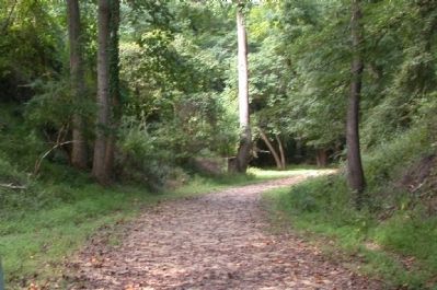
This road trace in the 18th century was a busy thoroughfare called Tobacco Road. The road provided an easy route for exported goods, including thousands of pounds of tobacco, to reach the port facilities on the York River, while circumventing most of the town.
By 1750, the amount of tobacco sent from Yorktown began to decline as crop yields on local plantations started to decrease.
this page online
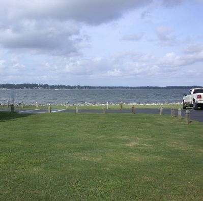
Today, Tobacco Road is a quiet walkway providing a link between the waterfront and the National Park Service Visitor Center. As you stroll along, envision the road as it once was – a vital link for both Yorktown and Virginia's economy.
(caption) In the 18th century, tobacco was prepared for shipment by packing it into large wooden casks, called hogsheads. The hogsheads were then rolled to the waterfront for loading onto ships bound for England.
Erected by National Park Service, U.S. Department of the Interior.
Topics. This historical marker is listed in these topic lists: Agriculture • Colonial Era • Roads & Vehicles. A significant historical month for this entry is April 1691.
Location. 37° 13.81′ N, 76° 30.251′ W. Marker is in Yorktown, Virginia, in York County. It is on Colonial National Historical Parkway 0.2 miles east of Ballard Street, on the left when traveling east. Marker is opposite the Yorktown Battlefield Visitor Center on the west side of the parking lot loop. Touch for map. Marker is at or near


Regionally, this marker is on Virginia’s Peninsula, in Coastal Virginia, and in the Hampton Roads Metropolitan Area. It is also in the American South, specifically in the Upper South, in the Tidewater, and on the Eastern Seaboard. Globally, it is in the North Atlantic Region, North America, the Western Hemisphere, the Western World, and the Anglosphere. Historically, it finds itself in what was once the territory of the Mississippian Culture, one of the original Thirteen Colonies, one of the Confederate States of America, and the Antebellum South.
Other nearby markers. At least 8 other markers are within walking distance of this marker: Cornwallis Headquarters (about 300 feet away, measured in a direct line); Don't Tread on Me! (about 400 feet away); Yorktown (about 500 feet away); British Inner Defense Line (about 500 feet away); The Hornwork (about 500 feet away); Yorktown Bicentennial Pine Trees (about 500 feet away); a different marker also named Yorktown (about 700 feet away); Secretary Nelson’s House
Photographed by Evan Dwyer, April 11, 2026
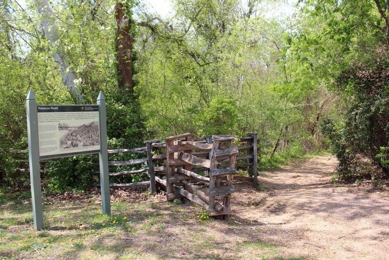
3. Tobacco Road trace to the right.
Another marker is no longer nearby. Don't Tread on Me! (was about 500 feet away but has been permanently removed).
More about this marker. This is one of two identical markers: one marks the Water Street entrance of Tobacco Road, while this one marks the terminus at the Yorktown Battlefield Visitor Center.
Also see . . . Yorktown Battlefield. National Park Service (Submitted on May 28, 2026.)
Photographed by David Graff, September 20, 2014
4. Along the Tobacco Road Trail
Photographed by David Graff, September 20, 2014
5. York River
Credits. This page was last revised on May 28, 2026. It was originally submitted on October 19, 2014, by David Graff of Halifax, Nova Scotia. This page has been viewed 2,057 times since then and 101 times this year. Last updated on May 27, 2026, by Evan Dwyer of Richmond, Virginia. Photos: 1. submitted on October 19, 2014, by David Graff of Halifax, Nova Scotia. 2. submitted on March 1, 2021, by Devry Becker Jones of Washington, District of Columbia. 3. submitted on May 27, 2026, by Evan Dwyer of Richmond, Virginia. 4, 5. submitted on October 19, 2014, by David Graff of Halifax, Nova Scotia. 6. submitted on March 1, 2021, by Devry Becker Jones of Washington, District of Columbia. • Bernard Fisher was the editor who published this page.
