Little Compton in Newport County, Rhode Island — The American Northeast (New England)
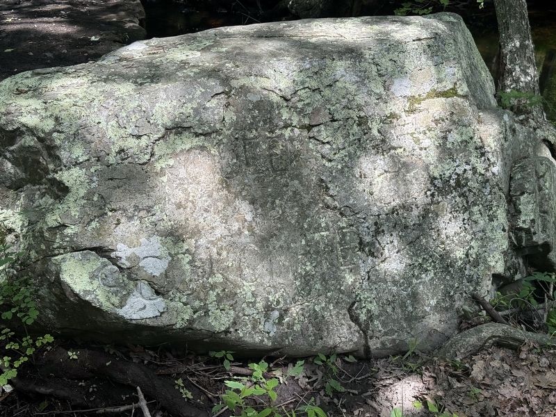
Awashonks
Queen of the Sogkonate
Photographed by G.W.Bartlett, July 26, 2026
1. Awashonks Marker
Awashonks
Queen of the Sogkonate
and friend of the white man
Erected by Town of Little Compton.
Topics. This memorial is listed in these topic lists: Colonial Era • Indigenous Peoples and Communities • Wars, US Indian • Women.
Location. 41° 29.337′ N, 71° 10.378′ W. Memorial is in Little Compton, Rhode Island, in Newport County. It can be reached from Swamp Road north of Meadow Lane, on the right when traveling west. Touch for map. Memorial is at or near this postal address: 105 Swamp Rd, Little Compton RI 02837, United States of America. Touch for directions.

Regionally, this memorial is on Narragansett Bay. It is also in the American Northeast, in New England, and on the Eastern Seaboard. Globally, it is in the North Atlantic Region, North America, the Western Hemisphere, the Western World, and the Anglosphere. Historically, it finds itself in what was once one of the original Thirteen Colonies.
Other nearby markers. At least 8 other markers are within walking distance of this marker: Colonel Benjamin Church (approx.
this page online
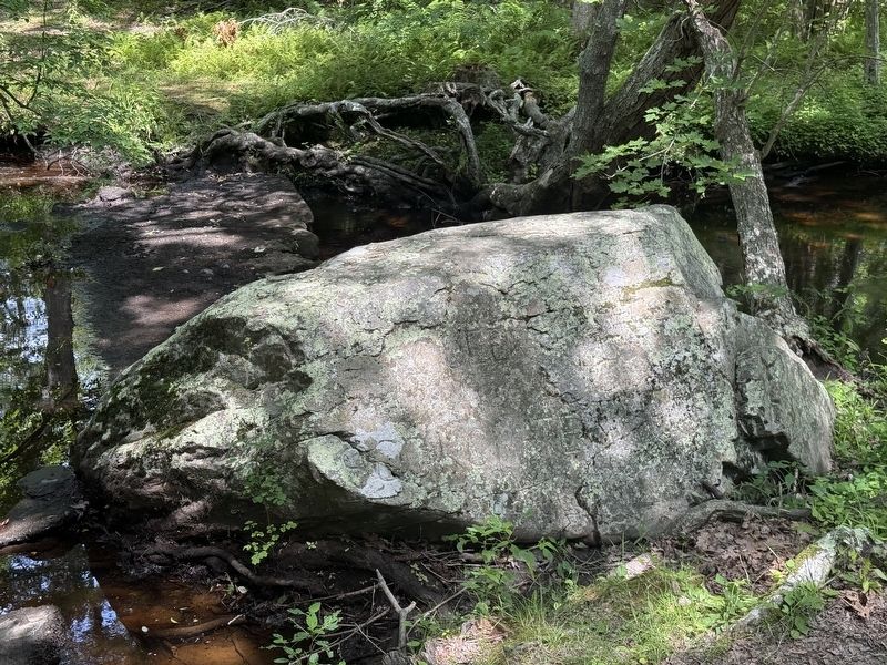
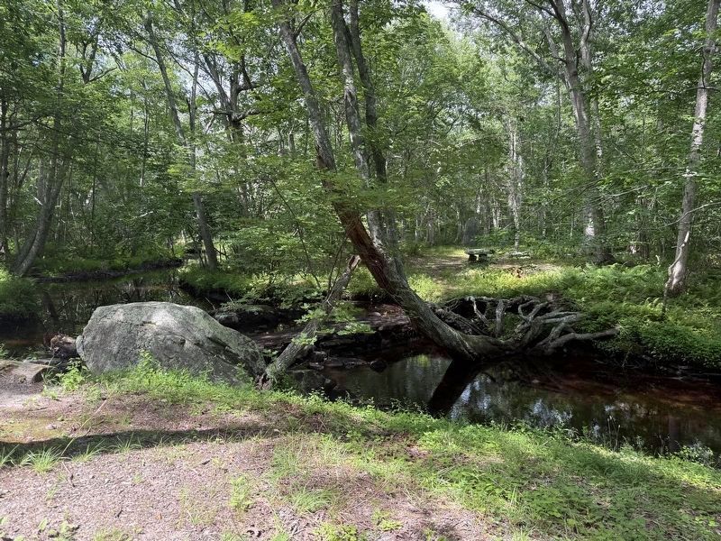
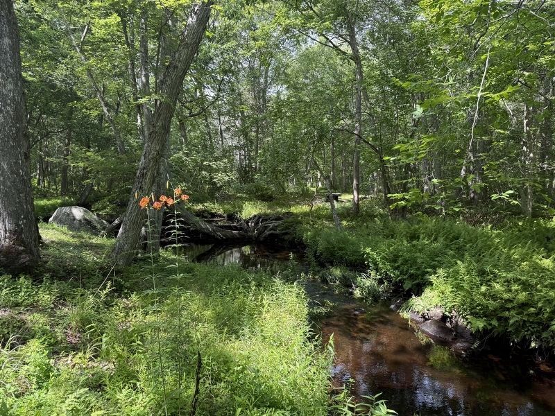
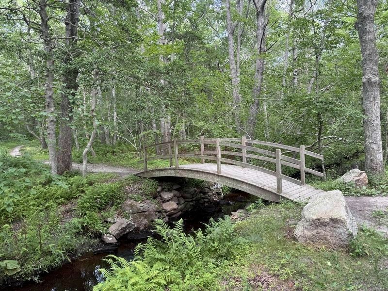
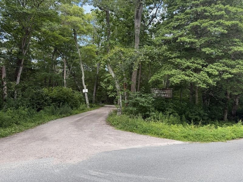
More about this memorial. Located in Wilbour Woods. The entrance to Wilbour Woods is a gravel road, just west of Meadow Lane. The marker is where the gravel road meets Dundery Brook.
Related marker. Click here for another marker that is related to this marker. Honoring Awashonks
Also see . . .
1. Awashonks (Wikipedia).
Awashonks (fl. mid-late 17th c.) was a saunkskwa, a female sachem (chief) of the Sakonnet (also spelled Saconet) tribe in Rhode Island. She lived near the southern edge of the Plymouth Colony on Patuxet homelands, not far from Narragansett Bay, near what is currently known by settlers as Little Compton, Rhode Island.(Submitted on July 26, 2026, by G.W.Bartlett of Hingham, Massachusetts.)
2. Awashonks - Little Compton Historical Society.
Photographed by G.W.Bartlett, July 26, 2026
2. Awashonks Marker
Awashonks was a female chief of the Sakonnet tribe of Little Compton, Rhode Island. Her real name is not known, but Awashonks was her official name as chief. It means “She who is queen.” She lived near the Pilgrims’ settlement, Plymouth Plantation, on the southern side of the bustling establishment.(Submitted on July 27, 2026, by G.W.Bartlett of Hingham, Massachusetts.)
3. Awashonks "Awaushunks" - Find-a-Grave.
Awashonks (also spelled Awasuncks and Awaushunks), wife of Tolony (also spelled Toloney). She was a sachem.(Submitted on July 27, 2026, by G.W.Bartlett of Hingham, Massachusetts.)
Photographed by G.W.Bartlett, July 26, 2026
3. Awashonks Marker
The marker is found at the first “T” intersection on the gravel drive.
Photographed by G.W.Bartlett, July 26, 2026
4. Awashonks Marker and Dundery Brook
Photographed by G.W.Bartlett, July 26, 2026
5. Fooot Bridge Across Dundery Brook
A second parking area with more parking and a picnic table about an half mile down the gravel drive to the left provides access to the trail network across the brook via a walking bridge.
Photographed by G.W.Bartlett, July 26, 2026
6. Wilbour Woods Entrance
Credits. This page was last revised on September 25, 2026. It was originally submitted on July 26, 2026, by G.W.Bartlett of Hingham, Massachusetts. This page has been viewed 30 times since then. Photos: 1, 2, 3, 4, 5, 6. submitted on July 26, 2026, by G.W.Bartlett of Hingham, Massachusetts. • Devry Becker Jones was the editor who published this page.
