Natural Bridge in Winston County, Alabama — The American South (East South Central)
Natural Bridge Park
Winston County

Photographed by Jimmy Emerson, August 23, 2026
1. Natural Bridge Park Marker
Natural Bridge Park is located in the vicinity of early historic crossings of three Native American paths. The Mobile Trace served as the primary north-south route. The Chickasaw Trading Path, the main east-west route, was in use by the early Colonial period. An additional Native American trail known as the South High Town Path proceeded westward from Georgia along the present U.S. Highway 278 roadway, converging with the other two paths at Natural Bridge. It was a well-used meeting place during pre-colonial times and continued to be used by early pioneers.
(Reverse Side)
A widely visited natural wonder, Natural Bridge Park has been a tourist attraction near the Byler Road for decades. Brothers A.B., Joe, and W. Lipsey Legg of Jasper privately purchased the land where the town's namesake - a 60 feet high, 148 feet long, two-span natural bridge made of sandstone and iron ore - is located. The brothers developed the area into a tourist attraction, opening the park to the public in 1954. Jim and Barbara Denton purchased the park in the 1980s.
Erected 2026 by Byler Road Tourism Alliance with assistance
this page online
Topics. This historical marker is listed in these topic lists: Indigenous Peoples and Communities • Natural Features • Parks & Recreational Areas • Roads & Vehicles. A significant historical year for this entry is 1954.
Location. 34° 5.346′ N, 87° 36.971′ W. Marker is in Natural Bridge, Alabama, in Winston County. It is at the intersection of County Road 3500 and U.S. 278, on the left when traveling north on County Road 3500. Touch for map. Marker is in this post office area: Haleyville AL 35565, United States of America. Touch for directions.

Regionally, this marker is in North Alabama. It is also in the American South, specifically in the Deep South, in Appalachia, and specifically in Southern Appalachia. Globally, it is in North America, a Gulf of Mexico state, the Western Hemisphere, the Western World, and the Anglosphere. Historically, it finds itself in what was once the territory of the Mississippian Culture, one of the Confederate States of America, and the Antebellum South.
Other nearby markers. At least 8 other markers are

Photographed by Jimmy Emerson, August 23, 2026
2. Natural Bridge Park Marker
Another marker is no longer nearby. Whitehouse Cemetery Grounds (was approx. 7.2 miles away but has been replaced with another marker now near it).
More about this marker. In spite of the date of installation on the marker being 2025, it was installed sometime between June 13, 2026 and August 23, 2026, most likely around July 22nd when the marker @ the town hall was erected.
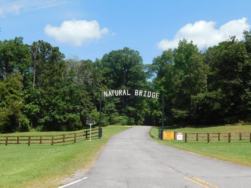
Photographed by Jimmy Emerson, August 23, 2026
3. Natural Bridge Park Marker
Credits. This page was last revised on August 26, 2026. It was originally submitted on August 24, 2026, by Jimmy Emerson of Dalton, Georgia. This page has been viewed 30 times since then. Photos: 1, 2, 3. submitted on August 24, 2026, by Jimmy Emerson of Dalton, Georgia. • James Hulse was the editor who published this page.
