
Royal Military College in Kingston, Ontario — Central Canada (North America)
Fort Brant
Photographed by Robert Rusaw, August 13, 2026
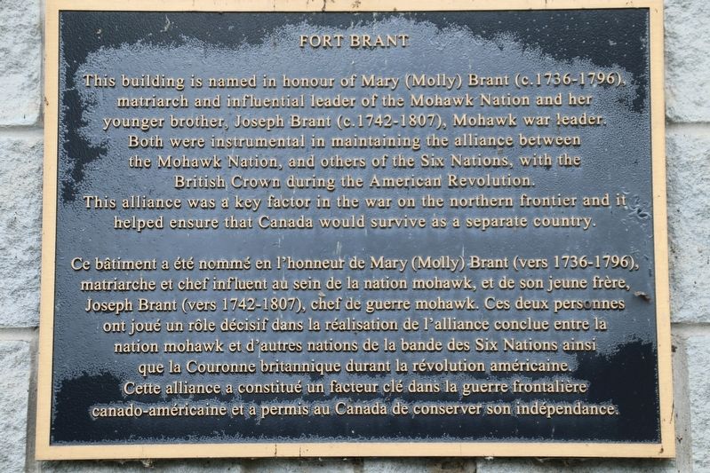
1. Fort Brant Marker
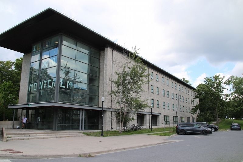
This building is named in honour of Mary (Molly) Brant (c.1736-1796), matriarch and influential leader of the Mohawk Nation and her younger brother, Joseph Brant (c. 1742-1807), Mohawk war leader. Both were instrumental in maintaining the alliance between the Mohawk Nation, and others of the Six Nations, with the British Crown during the American Revolution. This alliance was a key factor in the war on the northern frontier and it helped ensure that Canada would survive as a separate country.
Ce bâtiment a été nommé en l'honneur de Mary (Molly) Brant (vers 1736-1796), matriarche et chef influent au sein de la nation mohawk, et de son jeune frère, Joseph Brant (vers 1742-1807), chef de guerre mohawk. Ces deux personnes ont joué un rôle décisif dans la réalisation de l'alliance conclue entre la nation mohawk et d'autres nations de la bande des Six Nations ainsi que la Couronne britannique durant la révolution américaine. Cette alliance a constitué un facteur clé dans la guerre frontalière canado-américaine et a permis au Canada de conserver son indépendance.
Topics. This historical marker is listed
this page online
Location. 44° 13.862′ N, 76° 28.153′ W. Marker is in Kingston, Ontario. It is in Royal Military College. It can be reached from Valour Drive. This marker is located on the grounds of the Royal Military College. Touch for map. Marker is at or near this postal address: 5 Valour Drive, Kingston ON, Canada. Touch for directions.

Regionally, this marker is in Central Canada. Globally, it is in North America, the Western Hemisphere, the Western World, and the Anglosphere. Historically, it finds itself in what was once a British colony, the Viceroyalty of New France, the Haudenosaunee (Iroquois) Confederacy, and Rupert’s Land.
Other nearby markers. At least 8 other markers are within walking distance of this marker: Point Frederick Buildings (within shouting distance of this marker); Sir James Lucas Yeo (within shouting distance of this marker); Kingston Navy Yard (approx. 0.2 kilometers away); The Stone Frigate (approx. 0.3 kilometers away);
Photographed by Robert Rusaw, August 13, 2026
2. Fort Brant Marker
Credits. This page was last revised on August 26, 2026. It was originally submitted on August 25, 2026, by Robert Rusaw of Massena, New York. This page has been viewed 53 times since then. Photos: 1, 2. submitted on August 25, 2026, by Robert Rusaw of Massena, New York. • Andrew Ruppenstein was the editor who published this page.
