Washington in Wilkes County, Georgia — The American South (South Atlantic)
Early Colonial Roads
Kettle Creek Battlefield - An American Revolutionary War Cemetery
Photographed by Darren Jefferson Clay, September 20, 2026
1. Early Colonial Roads Marker
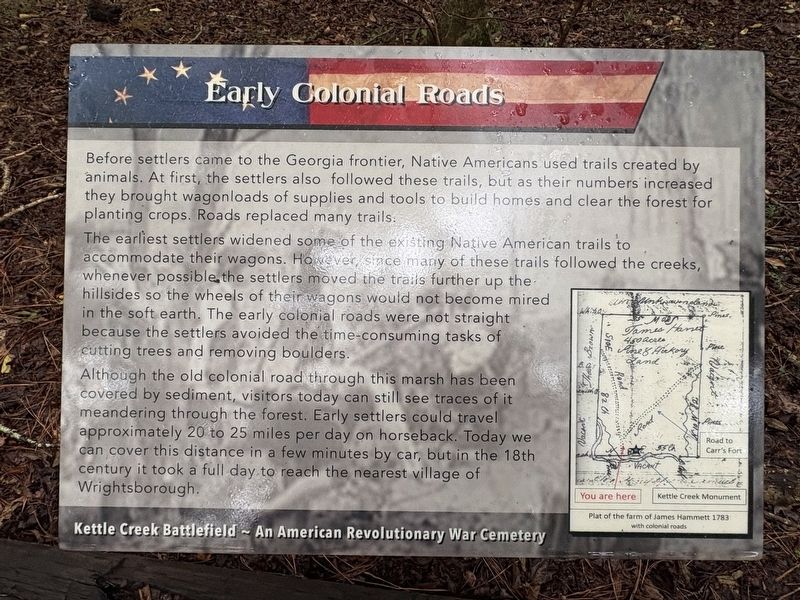
The earliest settlers widened some of the existing Native American trails to accommodate their wagons. However, since many of these trails followed the creeks, whenever possible the settlers moved the trails further up the hillsides so the wheels of their wagons would not become mired in the soft earth. The early colonial roads were not straight because the settlers avoided the time-consuming tasks of cutting trees and removing boulders.
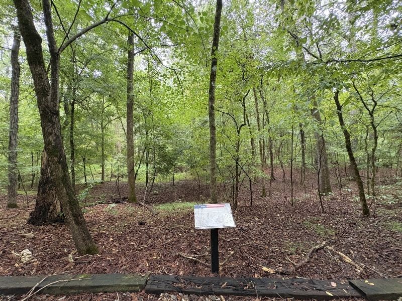
Although the old colonial road through this marsh has been covered by sediment, visitors today can still see traces of it meandering through the forest. Early settlers could travel approximately 20 to 25 miles per day on horseback. Today we can cover this distance in a few minutes by car, but in the 18th century it took a full day to reach the nearest village of Wrightsborough.
(caption) Plat of the farm of James Hammett 1783 with colonial roads
Topics.
this page online
Location. 33° 41.456′ N, 82° 53.208′ W. Marker is in Washington, Georgia, in Wilkes County. It can be reached from War Hill Road 0.2 miles south of Settlement Road. Touch for map. Marker is at or near this postal address: 299 War Hill Rd, Washington GA 30673, United States of America. Touch for directions.

Regionally, this marker is in the Piedmont. It is also in the American South and specifically in the Deep South. Globally, it is in North America, the Western Hemisphere, the Western World, and the Anglosphere. Historically, it finds itself in what was once the territory of the Mississippian Culture, one of the original Thirteen Colonies, one of the Confederate States of America, and the Antebellum South.
Other nearby markers. At least 8 other markers are within 2 miles of this marker, measured as the crow flies: Revolutionary War Soldiers' Burials (a few steps from this marker); Overview of the Battle (within shouting distance of this marker);
Photographed by Darren Jefferson Clay, September 20, 2026
2. Early Colonial Roads Marker
Credits. This page was last revised on October 11, 2026. It was originally submitted on September 20, 2026, by Darren Jefferson Clay of Duluth, Georgia. This page has been viewed 7 times since then. Photos: 1, 2. submitted on October 6, 2026, by Darren Jefferson Clay of Duluth, Georgia. • Bernard Fisher was the editor who published this page.
