Santa Clara in Santa Clara County, California — The American West (Pacific Coastal)
Life at the Third Santa Clara de Asís Mission
Photographed by Alice Mansell, September 22, 2026
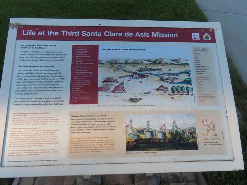
1. Life at the Third Santa Clara de Asís Mission Marker

You are standing at the site of the third Santa Clara de Asís Mission.
Completed in 1784, this successful Mission was the center of religious, economic and political activity in Santa Clara Valley. Earthquakes and water damage led the Spanish to abandon this mission site.
The third mission was very successful.
The Ohlone who lived at Santa Clara de Asís Mission tended large herds of sheep and cattle. The herds provided food, cloth and leather for the Mission. In 1800, there were around 10,000 sheep and over 6,000 cattle at the mission. The mission orchards produced pears, apples, peaches, quince and pomegranates. Corn, wheat, peas, barley and many beans grew in the fields. pottery made at the Misdion was used to store, cook and transport food. The Mission not only produced enough to sustain its own population, it usually had a surplus to supply other missions, pueblos and presidios in Northern California.
Completada en 1784, esta próspera misión fue el centro de actividad religiosa, económica y política en el valle de Santa Clara. Los
this page online
La tercera misión fue muy próspera.
Los Ohlones que vivían en la Misión Santa Clara de Asís guardaban grandes rebaños de carneros y ganado. Los rebaños proveían comida, tela y cueros a la misión. En 1809, había alrededor de 10000 carneros, y más de 6000 ganado en la misión. Los huertos de la misión producían peras, manzanas, duraznos, membrillo y granadas. En los campos cultivaban maíz, trigo, guisantes, cebada y muchos frijoles. La cerámica que producían en la misión se usaba para guardar, cocinar, y transportar la comida.
La misión no sólo producía bastante para sostener a su propia población pero solía tener sobrante para suministrar otras misiones, pueblos y presidios del norte de California.
Erected by Santa Clara University.
Topics. This historical marker is listed in these topic lists: Agriculture • Colonial Era • Hispanic Americans • Indigenous Peoples and Communities.
Location. 37° 21.091′ N, 121° 56.279′ W. Marker is in Santa Clara,
Photographed by Alice Mansell, September 22, 2026
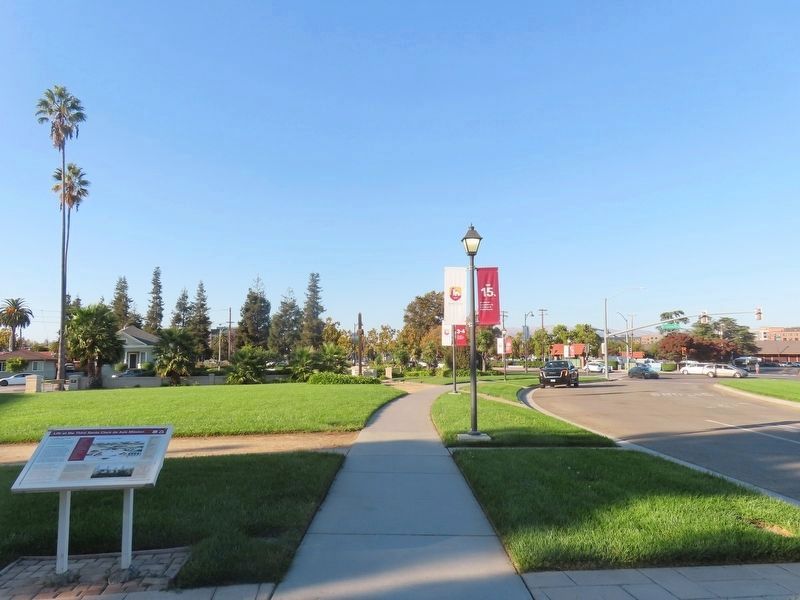
2. Marker at left, Palm Drive and El Camino Real at right

Regionally, this marker is in the San Francisco Bay Area, in Silicon Valley, and on the Coast Ranges. It is also on the American Pacific Coast. Globally, it is in North America, on the Ring of Fire, on the Pacific Rim, in the Western Hemisphere, in the Western World, and in the Anglosphere. Historically, it finds itself in what was once New Spain and also Mexico’s Alta California.
Other nearby markers. At least 8 other markers are within walking distance of this marker: Santa Clara Mission (within shouting distance of this marker); Santa Clara Depot (about 700 feet away, measured in a direct line); a different marker also named Santa Clara Depot (about 700 feet away); Santa Clara Women’s Club Adobe (approx. 0.2 miles away);
Photographed by Alice Mansell, September 22, 2026
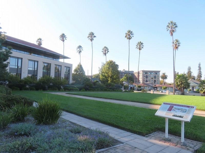
3. View from marker towards Santa Clara University campus
Regarding Life at the Third Santa Clara de Asís Mission. Sites 3, 4 and 5 are on the campus of Santa Clara University. Sites 1 and 2 are nearby along De La Cruz Boulevard and the northeast side of I-101.
Related markers. Click here for a list of markers that are related to this marker.
Photographed by Alice Mansell, September 22, 2026
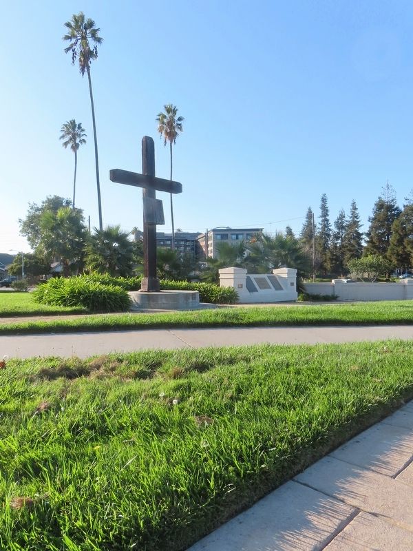
4. View near marker to the monument with a wooden cross and plaques marking site #3
Photographed by Alice Mansell, September 22, 2026
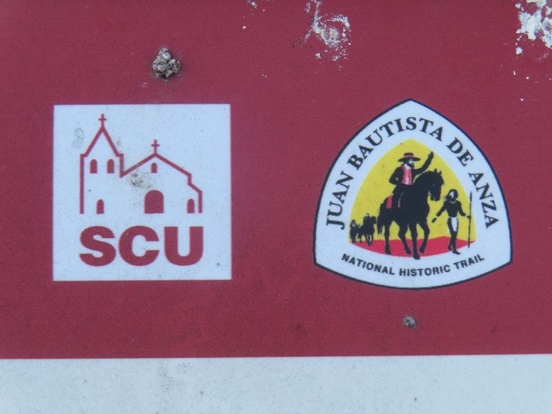
5. SCU and NPS logos
Credits. This page was last revised on September 30, 2026. It was originally submitted on September 28, 2026, by Alice Mansell of Los Altos, California. This page has been viewed 8 times since then. Photos: 1, 2, 3, 4, 5. submitted on September 28, 2026, by Alice Mansell of Los Altos, California. • Andrew Ruppenstein was the editor who published this page.
