Upper Shockoe Valley in Richmond, Virginia — The American South (Mid-Atlantic)
Gabriel's Uprising
Photographed by Devry Becker Jones, October 18, 2026
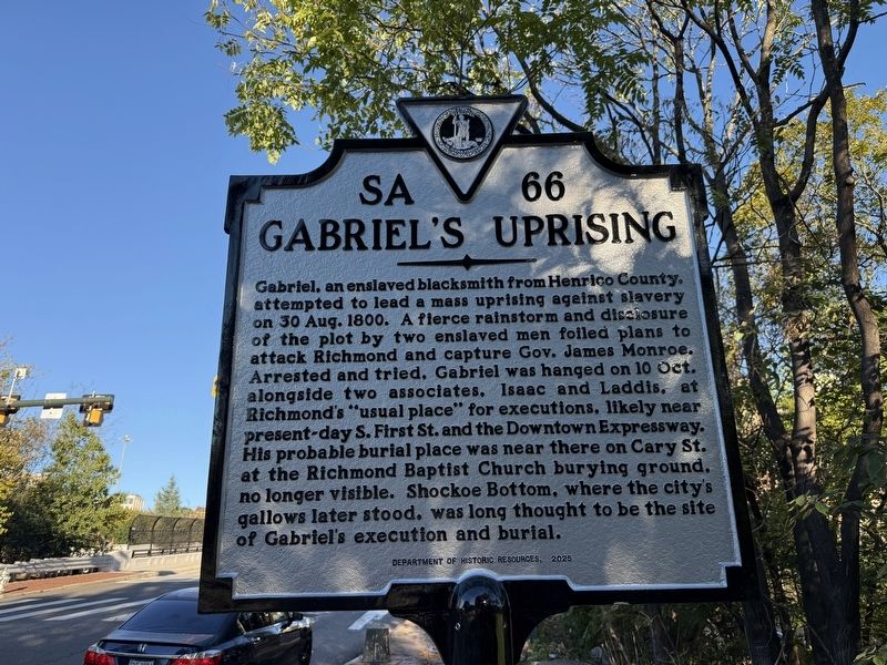
1. Gabriel's Uprising Marker
Gabriel, an enslaved blacksmith from Henrico County, attempted to lead a mass uprising against slavery on 30 Aug. 1800. A fierce rainstorm and disclosure of the plot by two enslaved men foiled plans to attack Richmond and capture Gov. James Monroe. Arrested and tried, Gabriel was hanged on 10 Oct. alongside two associates, Isaac and Laddis, at Richmond's "usual place" for executions, likely near present-day S. First St. and the Downtown Expressway. His probable burial place was near there on Cary St. at the Richmond Baptist Church burying ground, no longer visible. Shockoe Bottom, where the city's gallows later stood, was long thoubght to be the site of Gabriel's execution and burial.
Erected 2025 by Department of Historic Resources. (Marker Number SA-66.)
Topics and series. This historical marker is listed in these topic lists: African Americans • Civil Rights • Law Enforcement • Notable Events. In addition, it is included in the Virginia Department of Historic Resources (DHR) series list. A significant historical date for this entry is August 30, 1800.
Location. 37° 32.235′ N, 77° 25.668′ W. Marker is in Richmond,
this page online

Regionally, this marker is in Central Virginia. It is also in the American South and specifically in the Upper South. Globally, it is in North America, the Western Hemisphere, the Western World, and the Anglosphere. Historically, it finds itself in what was once the territory of the Mississippian Culture, one of the original Thirteen Colonies, one of the Confederate States of America, and the Antebellum South.
Other nearby markers. At least 8 other markers are within walking distance of this marker: Gabriel Prosser Execution Site (within shouting distance of this marker); Richmond's First Municipal African Cemetery (within shouting distance of this marker); Richmond’s African Burial Ground (within shouting distance of this marker); Lumpkin's Jail (about 300 feet away, measured in a direct line); Winfree Cottage (about 500 feet away); First African Baptist Church
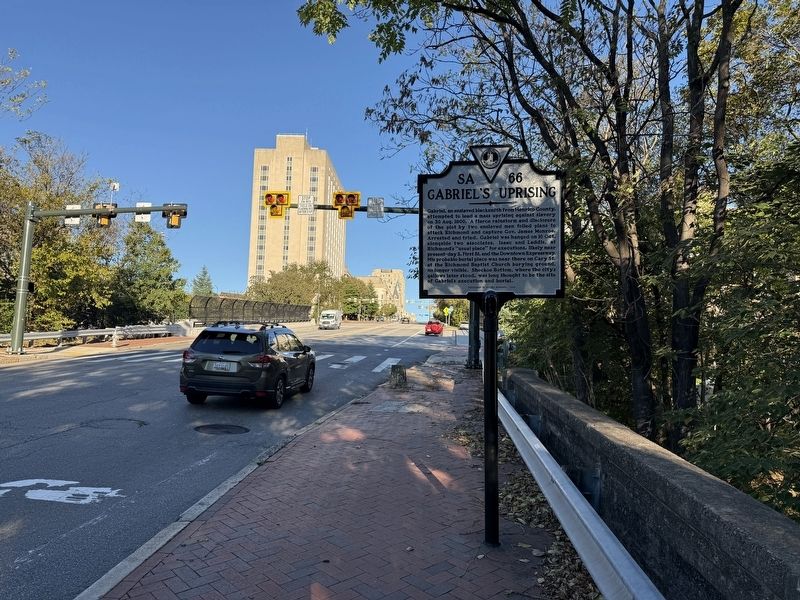
Other markers no longer nearby. Execution of Gabriel (was a few steps from this marker but has been replaced with another marker now near it); Old Negro Burial Ground (was a few steps from this marker but has been replaced with another marker now near it); a different marker also named Richmond's African Burial Ground (was within shouting distance of this marker but has been replaced with another marker now near it); a different marker also named Lumpkins Jail (was about 400 feet away but has been reported to have been replaced with another marker now near it); The Slave Trade In Richmond (was about 500 feet away but has been reported to have been replaced with another marker now near it).
Related marker. Click here for another marker that is related to this marker. This marker has replaced the linked marker.
Photographed by Evan Dwyer, November 1, 2025
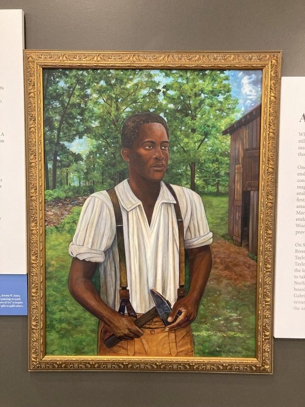
3. Gabriel of Brookfield
Portrait of Gabriel painted in 2021 by Jerome W. Jones, Jr., based on descriptions of Gabriel. Gabriel stood 6'2, had scars on his face, and was missing his two front teeth. This portrait is displayed at Meadow Farm's community center.
Credits. This page was last revised on October 18, 2026. It was originally submitted on October 18, 2026, by Devry Becker Jones of Washington, District of Columbia. This page has been viewed 5 times since then. Photos: 1, 2. submitted on October 18, 2026, by Devry Becker Jones of Washington, District of Columbia. 3. submitted on February 11, 2026, by Evan Dwyer of Richmond, Virginia.
