Macon in Bibb County, Georgia — The American South (South Atlantic)
McDougal Mound
| — | Ocmulgee National Monument | — |
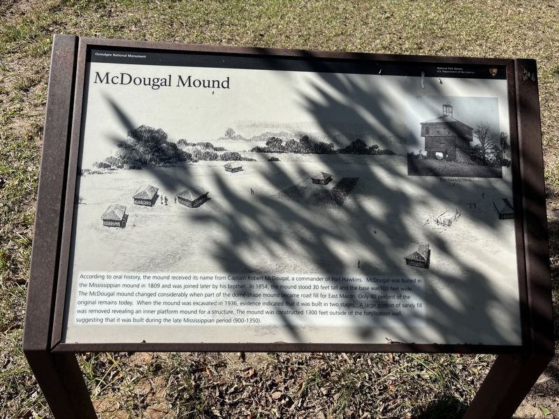
Photographed by Benjamin Rubin, October 25, 2026
1. McDougal Mound Marker
Erected by National Park Service, U.S. Department of the Interior.
Topics. This historical marker is listed in these topic lists: Anthropology & Archaeology • Cemeteries & Burial Sites • Indigenous Peoples and Communities • Parks & Recreational Areas. A significant historical year for this entry is 1809.
Location. 32° 50.786′ N, 83° 36.478′ W. Marker is in
this page online

Regionally, this marker is in the Piedmont. It is also in the American South and specifically in the Deep South. Globally, it is in North America, the Western Hemisphere, the Western World, and the Anglosphere. Historically, it finds itself in what was once the territory of the Mississippian Culture, one of the original Thirteen Colonies, one of the Confederate States of America, and the Antebellum South.
Other nearby markers. At least 8 other markers are within walking distance of this marker: The Dunlap House (approx. ¼ mile away); Fort Hawkins (approx. 0.3 miles away); War of 1812 Bicentennial Celebration (approx. 0.3 miles away); Gen. James Edward Oglethorpe (approx. 0.3 miles away); a different marker also named Fort Hawkins (approx. 0.3 miles away); Battles of Dunlap Farm (approx. 0.4 miles away); Yaupon Holly (approx. 0.4 miles away); The Civilian Conservation Corps (CCC) 1933-1942 (approx. 0.4 miles away). Touch for a list and map of all markers in Macon.
Also see . . . Ocmulgee Mounds National Historical Park. National Park Service (Submitted on October 26, 2026.)
Credits. This page was last revised on October 26, 2026. It was originally submitted on October 25, 2026, by Benjamin Rubin of Columbia, South Carolina. This page has been viewed 22 times since then. Photo 1. submitted on October 25, 2026, by Benjamin Rubin of Columbia, South Carolina. • Bernard Fisher was the editor who published this page.
