Newburyport in Essex County, Massachusetts — The American Northeast (New England)
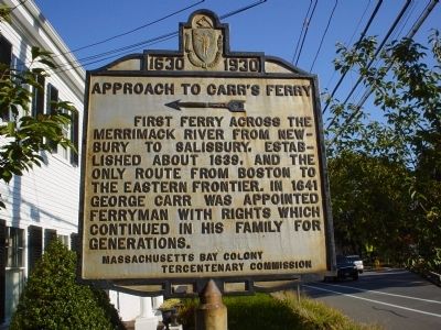
Approach to Carr's Ferry
1630 - 1930
Erected 1930 by Massachusetts Bay Colony-Tercentenary Commission.
Topics and series. This historical marker is listed in these topic lists: Colonial Era • Roads & Vehicles • Settlements & Settlers • Waterways & Vessels. In addition, it is included in the Massachusetts Bay Colony—Tercentenary Commission Markers series list. A significant historical year for this entry is 1639.
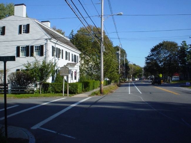
Location. 42° 49.306′ N, 70° 53.683′ W. Marker is in Newburyport, Massachusetts, in Essex County. Marker is at the intersection of High Street (Massachusetts Route 113) and High Street & Jefferson Street when traveling east on High Street. Touch for map. Marker is at or near this postal address: 360 High Street, Newburyport MA 01950, United States of America. Touch for directions.
Other nearby markers. At least 8 other markers are within 2 miles of this marker, measured as the crow flies. Soldiers and Sailors of Newburyport 1861-1864 (approx. ¼ mile away); “The Volunteer” (approx. ¼ mile away); Soldiers of All Wars Marker (approx. ¼ mile away); The Large Packet Ship Dreadnought (approx. 0.3 miles away); Edward Rawson (approx. half a mile away); The 1873 Train Wreck (approx. 1.1 miles away); Historic 1893 Newburyport Train Station (approx. 1.2 miles away); William Lloyd Garrison (approx. 1.3 miles away). Touch for a list and map of all markers in Newburyport.
Also see . . . Historical Markers Erected by Massachusetts Bay Colony Tercentenary Commission (1930). Original 1930 publication by the Commonwealth of Massachusetts of Tercentenary Commission Markers, commemorating the three hundredth anniversary of the Massachusetts Bay Colony. (Submitted on October 14, 2011, by Russell Chaffee Bixby of Bernardston, Massachusetts.)
Additional commentary.
1. On crossing the Merrimack River.
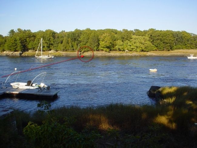
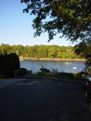
Although it is very hard to see in these photo, even on an ordinary sunny day, the Merrimack can be a very strong river to cross. If you look carefully at photo #5, you'll see that the boats are all stationary but there's still a wake around them. This river was not meandering on its way, instead it was rolling hard, boats going up-stream were slowly creeping across my view. If I had to guess, I'd speculate that this river was moving at 10-15 knots from left to right of my view. To attempt such a crossing on a regular basis without the aid of an engine and relying solely on manual power must have been "exciting" even on a peaceful day.
— Submitted October 9, 2011, by Michael Tiernan of Danvers, Massachusetts.
Photographed By Michael Tiernan, October 8, 2011
3. Approach to Carr's Ferry Marker
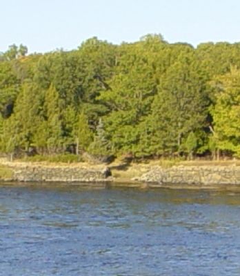
Following Jefferson Street to the end, approximatly a half mile (~800m), you'll find this view of the Merrimack river. The land you see on the other side of the river is a small island named "Carr Island", the terminus of the ferry ride described by the marker.
Credits. This page was last revised on June 16, 2016. It was originally submitted on October 8, 2011, by Michael Tiernan of Danvers, Massachusetts. This page has been viewed 1,734 times since then and 48 times this year. Photos: 1, 2, 3, 4, 5. submitted on October 9, 2011, by Michael Tiernan of Danvers, Massachusetts. • Bill Pfingsten was the editor who published this page.
