Niagara Falls in Niagara County, New York — The American Northeast (Mid-Atlantic)
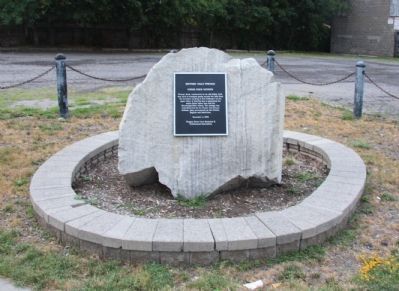
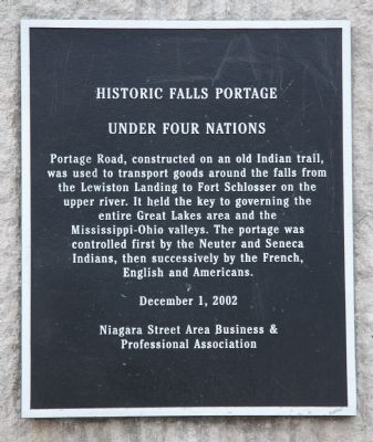
Historic Falls Portage
Under Four Nations
Inscription.
was used to transport goods around the falls from
the Lewiston Landing to Fort Schlosser on the
upper river. It held the key to governing the
entire Great Lakes area and the
Mississippi-Ohio valleys. The portage was
controlled first by the Neuter and Seneca
Indians, then successively by the French
English and Americans.
Erected 2002 by Niagara Street Area Business & Professional Association.
Topics. This historical marker is listed in these topic lists: Colonial Era • Man-Made Features • Native Americans • Waterways & Vessels.
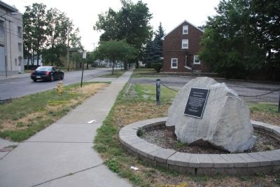
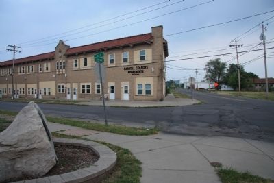
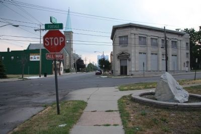
Location. 43° 5.227′ N, 79° 2.542′ W. Marker is in Niagara Falls, New York, in Niagara County. Marker is at the intersection of Portage Road and Falls Street, on the right when traveling north on Portage Road. This historic marker is affixed to the side of a large boulder, on the northeast side of the intersection. Touch for map. Marker is in this post office area: Niagara Falls NY 14303, United States of America. Touch for directions.
Other nearby markers. At least 8 other markers are within walking distance of this marker. Thomas V. Welch (about 400 feet away, measured in a direct line); Holy Trinity Roman Catholic Church Complex (about 400 feet away); Portage Road (approx. 0.3 miles away); Old Blockhouse (approx. 0.3 miles away); a different marker also named Portage Road (approx. 0.6 miles away); Niagara River Overlook (approx. 0.6 miles away); The Niagara River Portage and the Old Stone Chimney (approx. 0.6 miles away); Old Stone Chimney (approx. 0.6 miles away). Touch for a list and map of all markers in Niagara Falls.
Credits. This page was last revised on June 16, 2016. It was originally submitted on April 12, 2012, by Dale K. Benington of Toledo, Ohio. This page has been viewed 638 times since then and 15 times this year. Photos: 1, 2, 3, 4, 5. submitted on April 12, 2012, by Dale K. Benington of Toledo, Ohio.
